The Pre-Alps of Lake Como have an incredible potential for mountain bike or e-bike excursions. Sunday 23 February 2020, we explored the area by making a challenging itinerary by E-Bike, departing from Argegno, arriving at the Venini refuge and returning from the Bocchetta di Nava.
E-Bike: from Argegno to the Venini Hut (Lake Como)
The mountains around Lake Como, and in particular, those around the Como branch, are characterized by soft reliefs, and, above all in the southernmost part, by less rocky peaks. Although the slopes can be steep, they are therefore crossed by paths and dirt roads, which are right to be explored by bicycle. The scenarios and panoramas are fantastic and exciting, whether you stay at lower altitudes or go higher, with a view that ranges from the Alpine peaks of Piedmont and Val D'Aosta, to the ones of Swiss Alps, and those of the closest Valtellina. The E-Bike, which appeared relatively recently on the scene, is a perfect means to cover these itineraries, both because the aid of assisted pedaling allows you to cover greater differences in height and distances, and because they are now technically very advanced veichles, which allow excellent grip on steep and rough terrain. I had already tried the potential of this vehicle, last summer, on a beautiful excursion on Lake Garda, along the Ponale road, and going up to Lake Ledro (read report).
Finally, on Sunday 23 February 2020, I accepted my friend Adolfo invitation, who lives in the area, to go on a mountain bike excursion in these area. Not having my own vehicle yet, I rented an Intrigue-E+ 1 PRO bicycle from Guti Bike Rent in Argegno. The young professional cyclist Ivan Alvarez Gutierrez, Olympic in Athens 2004 and 15-time world championship rider, runs the shop with his wife, on the Statale Regina, in Argegno. Guti and his wife serve you with sympathy and competence, offering you very efficient vehicles. In winter, on Sundays, it is necessary to book the rental by phone, because the shop is usually closed.
Before starting our trip, Adolfo checked my bike, set it up for climbing (closed shock absorbers), and explained some basic concepts for tackling the climb, first. For several readers who already have E-Bike experience, it may be trivial, but I was amazed by the quick saddle adjustment system. On these bicycles, without dismounting, it is possible to raise and lower the saddle at will, and according to the route to be covered. When going uphill, the saddle is held high, to have the leg fully extended, when the pedal is in the lower position, and to give maximum thrust on the pedals. Going downhill, as we will see, it is completely lowered.
At around 11.00, we left Argegno and headed for Val d'Intelvi, following the SP13.
This first section of the route takes place on a paved road, relatively busy (not like the Regina state road), and allows you to gain altitude without particular hard stretches. Once arrived in San Fedele D'Intelvi, we left the provincial road, and, following via San Rocco and then Via ai Monti, we headed towards the pass where the Boffalora refuge stands, about 1200 meters above sea level, going up from the west towards East. Leaving San Fedele (which is also pretty), the landscape has begun to become interesting from a natural point of view. Even if the day turned out to be quite hot for the period (high temperatures above 15 degrees), the vegetation was still tipical of winter time, in the mountains. In this section of the route, the road climbs through meadows, which on Sunday were still a beautiful russet colour, dotted with deciduous and coniferous woods. It was very suggestive to pedal in the middle of the beech woods, which are very bright in this period, as they are crossed by the intense sunlight, which is not filtered by the leaves any more, and which brings out the silvery bark of the trunks.
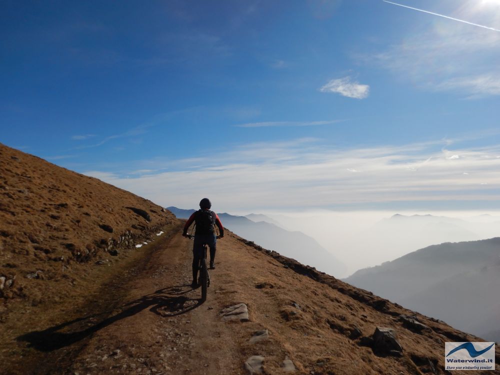
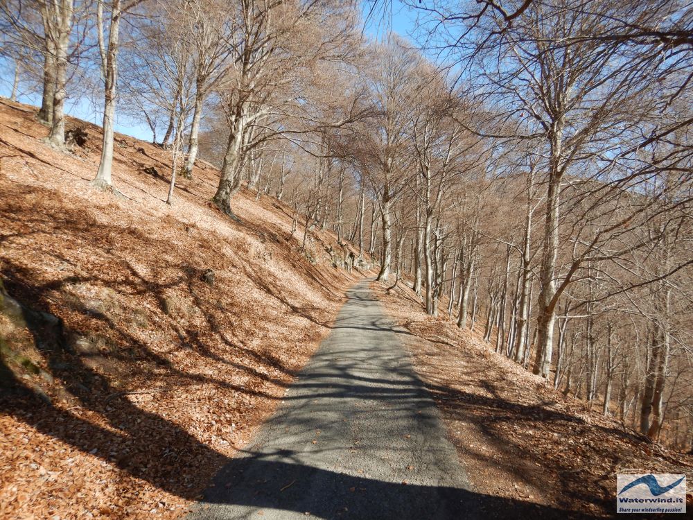
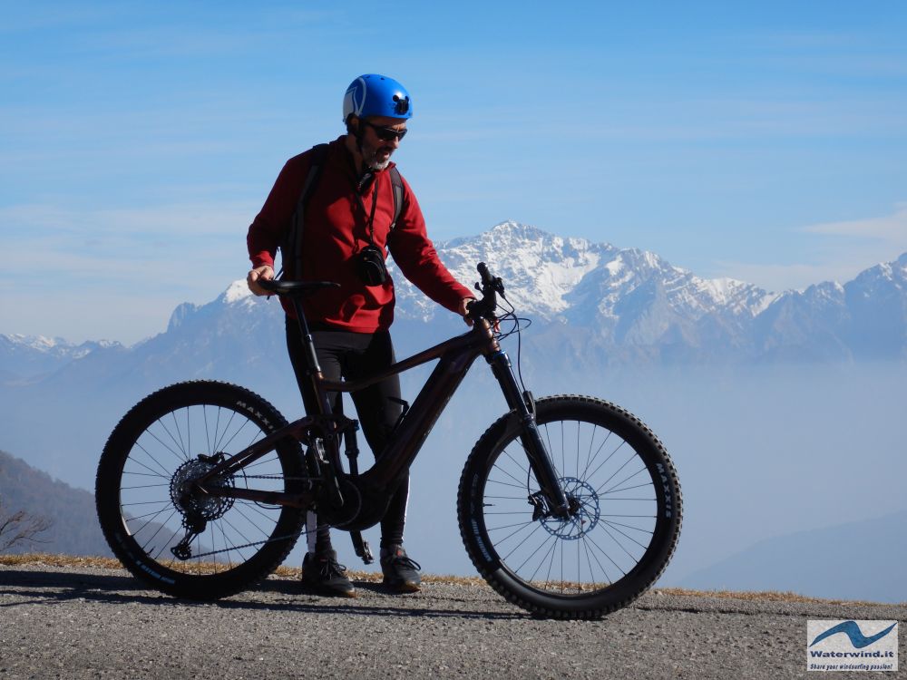
Arriving at the Boffalora refuge (14 km after San Fedele), we took a break, also because from here the view is enhanced by the view of the snow-capped Grigne and Monte Rosa. Meteorologically, Sunday was a particular day, with a remarkable atmospheric stability, which favored the haze at low altitudes, as can be seen from some of the photos in the article. But above about 1000 meters, a clear blue sky dominated, and the clear air that one generally breathes in the mountains.
After the Boffalora, we continued following the military track (built during the First World War, and belonging to the Cadorna defensive Line), which, bypassing the peaks of the mountains, and just below them, heads towards the North-North-East, passing first from Alpe di Lenno, and then reaches the Rifugio Venini (1560 metres). The first part of the military road, after the Boffalora refuge, has steeper sections, but never extreme. The route becomes more and more aerial with excellent views of the underlying Val Perlana and Lake Como. Alpe di Lenno certainly deserves a short stop (longer, and right to enjoy food and wine in the summer, when the hut is open - sale of local cheeses). It is located on an amazing natural terrace, from which you can see Lake Lugano, further down, and the usual .... Monte Rosa and the Swiss Alps on the horizon, to the west.
After passing Alpe di Lenno, after a few minutes, we arrived at the Venini refuge, the highest point of our route, open and crowded with tourists/trekkers. The Venini has a suggestive structure, with a pergola terrace that overlooks the steep slope that descends towards Lake Como.
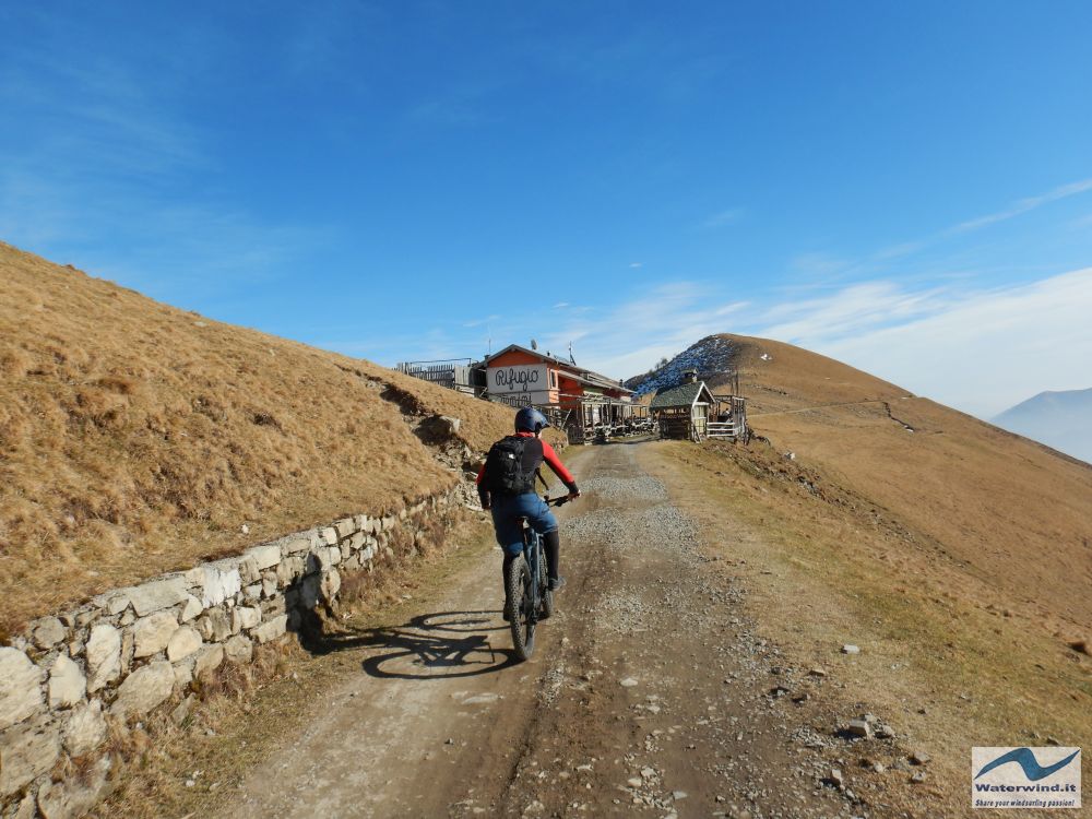

After eating half a sandwich (me), and a few energy-giving bars (Adolfo), we started preparing for the descent. And here a world opened up to my mind! The descent on paths and dirt roads, especially if steep, inaccessible and exposed, can be physically and technically more demanding than the ascent.
The bike must be set up properly. Adolfo deflated my tires a bit, to have more grip on the ground; he opened up my shock absorbers (front and rear) a bit, to cushion the hits of the descent; he made me lower the saddle completely, to have a lower center of gravity; and he explained to me the use of the brakes, and the attitude (basically backward) to keep in the steepest passages, to avoid tipping over.
I started the descent with a slight apprehension, mainly due to the novelty of the experience.
After Venini Hut, we temporarily abandoned the military road that climbs first to Monte di Tremezzo and then to Monte Crocione, and followed a path below, with a fairly even surface, but narrow and exposed in some sections. Here, I began to gain confidence with the descent, starting to see that these modern E-Bikes are vehicles with exceptional performances, in these conditions: they provide safety and moderate comfort. The inventor of the traditional bicycle never imagined they would reach this level, I guess.
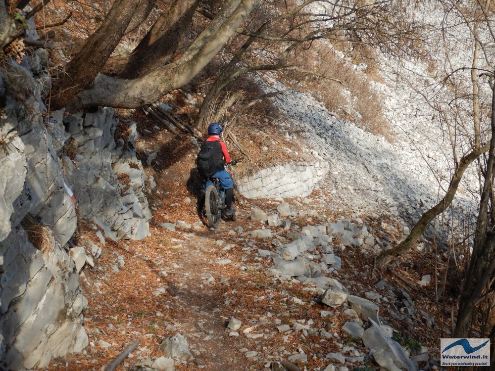
After a few kms (23 from San Fedele) the path joins up again with the military road that descends from the south-east crest of Monte Crocione, at Bocchetta di Nava. Here a section of a certain difficulty begins, relatively steep (even 35-40% gradients), with the presence of rather narrow hairpin bends, quite problematic for me. In fact, it wasn't easy for me to steer without stopping, having the steep slope in front of me, on the outside of the hairpin bend. In many hairpin bends, I went down…. On the straights, however, I began to enjoy going downhill, carefully increasing my speed. Descending on dirt and uneven ground is, however, tiring. The hands and arms are continuously subjected to the rebounds due to the boulders and stones along the way. To maintain a rearward attitude, you have to stand on the pedals, with your legs stretched out, and your butt behind the saddle.

After the zigzags of this downhill stretch of the military road, we arrived at a peculiar element of the route: the Tremezzo tunnel. It is a military work, dug by hand into the rock. The tunnel (26 kms from San Fedele) is about 100 meters long and is not completely dark (from the entrance you can see the light coming from the exit). Its crossing is, however, interesting and also creates a bit of suspense.
Leaving the tunnel, we soon arrived at the Monti Brente huts, after which the most unpleasant stretch of the route begins. The path is no longer exposed, but crosses the wood, with many sections described by Adolfo as "breakdown", with an extremely irregular surface, due to the presence of large outcropping boulders, and relative steps, sometimes difficult to overcome. It was necessary to pay close attention, to avoid tipping over and getting hurt, almost at the end of the excursion, also considering the tiredness of the route covered so far. Sometimes it was necessary to get off the saddle (at least for me), to avoid troubles.
After this last stretch, we arrived in Rogaro, a pleasant hamlet in the municipality of Tremezzina.
Here, practically, the salient part of the itinerary ended. With a super fast descent, on an asphalt road, up to Tremezzo, we regained the shore of Lake Como. I said bye to Adolfo (who lives in a village on lake shore), and I traveled alone the last kms of the Regina state road to return the bicycle to Guti at Argegno.
Once again, the mountains of Lake Como gave me a beautiful day. As soon as possible, I will repeat the experience to continue the exploration of this fascinating territory. The detailed route is available on Waterwind Strava account.
Hello. Fabio
Clicca qui, per goderti la slidegallery della giornata.
Without your Support, Waterwind wouldn't exist. Become our supporter! If you want to advertise with us, read here, or conctact us.
Il video della giornata


