


I’ve fulfilled a dream! For 30 years, I had been studying the description of the section of the Strada degli Alpini that leads to the Sentinella Pass in the Sesto Dolomites. On Sunday, August 9, 2026, I finally managed to complete this hike, combining it with three other *via ferratas*, including the challenging Zandonella West route.
Trekking and ferratas: Strada degli Alpini and Zandonella Via Ferrata on Croda Rossa (Sexten Dolomites)
The section of the *Strada degli Alpini* (Alpini Steig) leading from Forcella Undici to Sentinella Pass has always fascinated me. I have been visiting the Pusteria Valley (Pustertal) for thirty years, and I have always been moved by the stories of the *Alpini* troops and the Austrians who were entrenched—even in the dead of winter—on the ledges and peaks of the Sesto Dolomites. I often tried to imagine the conditions faced by the Italian sentry stationed at the pass of the same name (Passo della Sentinella)—at an altitude of 2,717 meters, between the southern face of Croda Rossa and the northern wall of Cima Undici—exposed to both the elements and enemy fire. And I dreamed of visiting that very spot.
In past years, this section of the *via ferrata* was often impassable due to snow remaining on the ledges, even in August (it is best to check current conditions on the Sesto Mountain Guides' website). Furthermore, while I was vacationing with young children, it was difficult for me to find the time. A few years ago, I hiked the stretch of the *Strada degli Alpini* from Forcella Undici to Rifugio Comici—a relatively easy route, yet one offering spectacular views. Finally, this August, the opportunity arose to tackle the more challenging section leading to Passo della Sentinella. All in all, it turned out to be a magnificent—albeit exhausting—excursion that took a full eleven hours, yet proved truly memorable. Below, I describe the itinerary, focusing in particular on some of the most challenging and scenic sections.
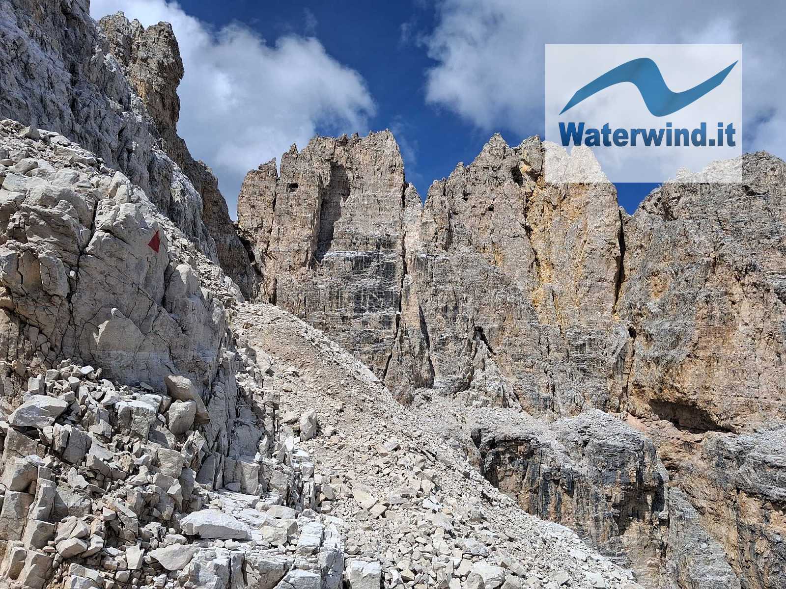
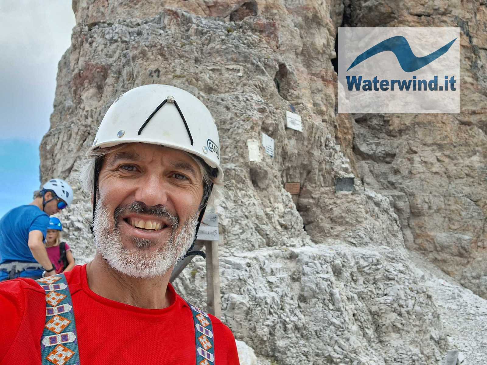
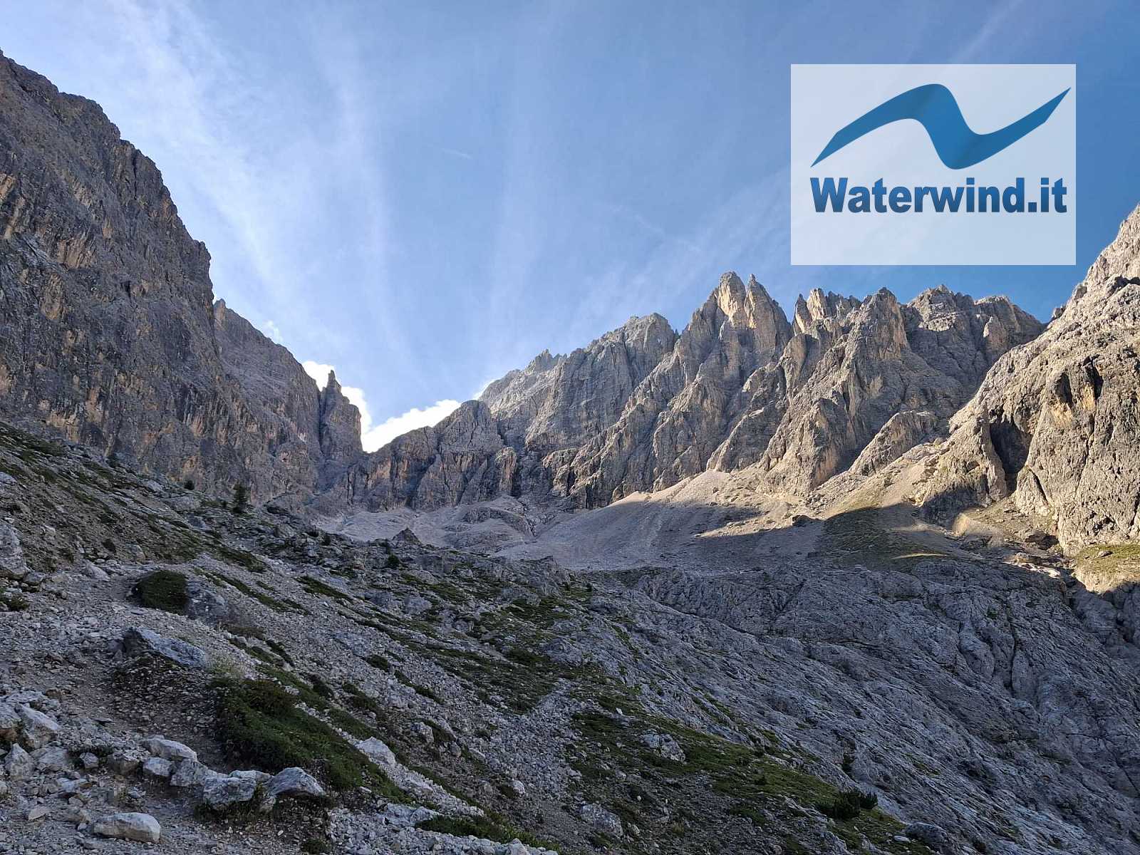
Click here for the complete slideshow of the excursion.

As on the previous occasion, I took the gondola lift from Moso up to Prati di Croda Rossa (1,911 meters) to cut down on the elevation gain, given the strenuous nature of the rest of the ascent (round-trip price: €36).
I started hiking just before 9:00 AM, taking trail number 100 toward Forcella Undici and the Strada degli Alpini. The climb to Forcella Undici—situated at 2,600 meters in the glacial cirque between the west face of Croda Rossa and the north face of Cima Undici—is always somewhat demanding, especially the final section, which features a steel cable to help navigate a few vertical passages. I therefore recommend putting on your via ferrata gear before tackling this part. The view from the saddle is always breathtaking, sweeping from Croda dei Toni to the Tre Cime di Lavaredo and the surrounding peaks.
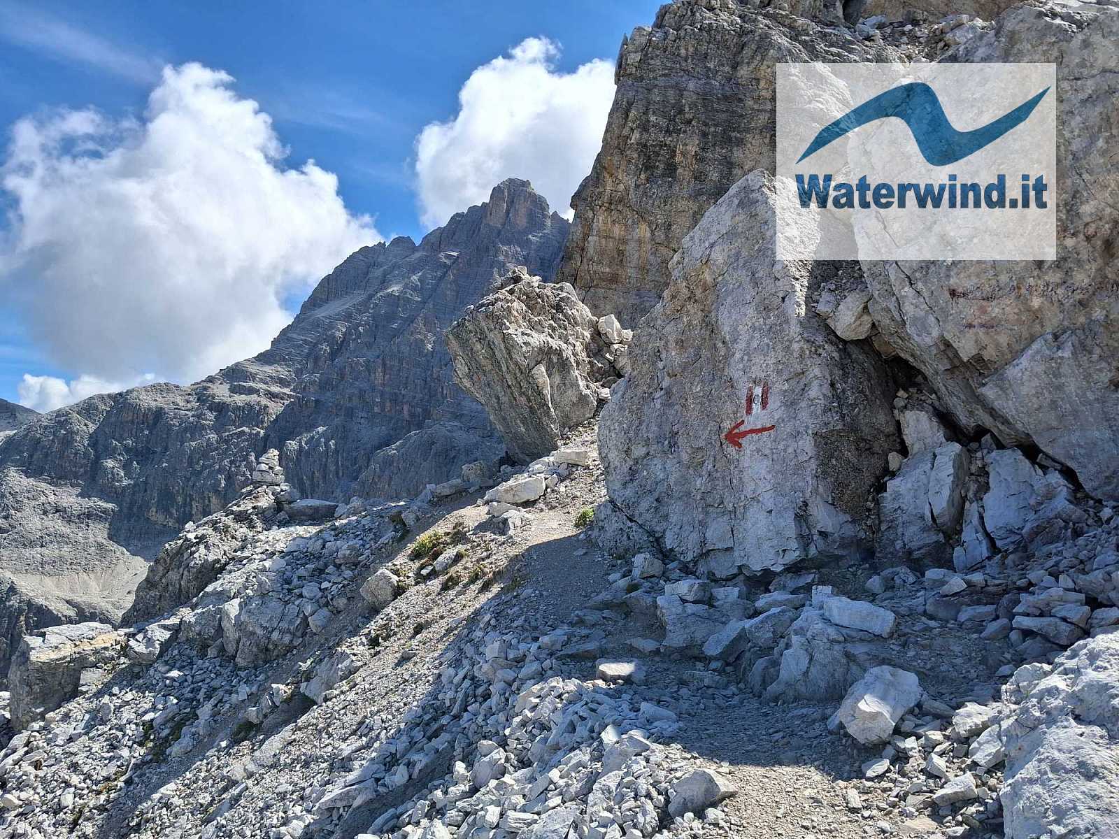
The initial stretch that follows is shared with the section of the Strada degli Alpini leading toward the Comici hut. You climb a short distance—involving some easy scrambling—to reach a saddle marked by clear signage. From there, take trail 101 to the left toward Passo della Sentinella, traversing along the north face of Cima Undici. The landscape quickly becomes wild and rugged. You soon reach the start of the ledge. The ledge traversed by this via ferrata is mostly narrow and consists of unstable terrain (loose soil and scree). At first, the sight of it was daunting, and I considered turning back because I hadn't spotted the safety cable—which blends in with the greyish rock. I pressed on, however, and finally spotted the cable, which put my mind at ease. I must also say that once you start walking along the ledge, it doesn't seem as narrow as it looks from a distance, although the exposure and the drop below are daunting and demand caution. Personally, however, I didn't even clip in with my carabiners for many sections; instead, I moved quickly while keeping a firm grip on the cable with my hands (gloves are essential). In the mountains, speed can also be a form of safety. A few spots where one had to transition between cable sections—without the possibility of clipping in—required careful movement.
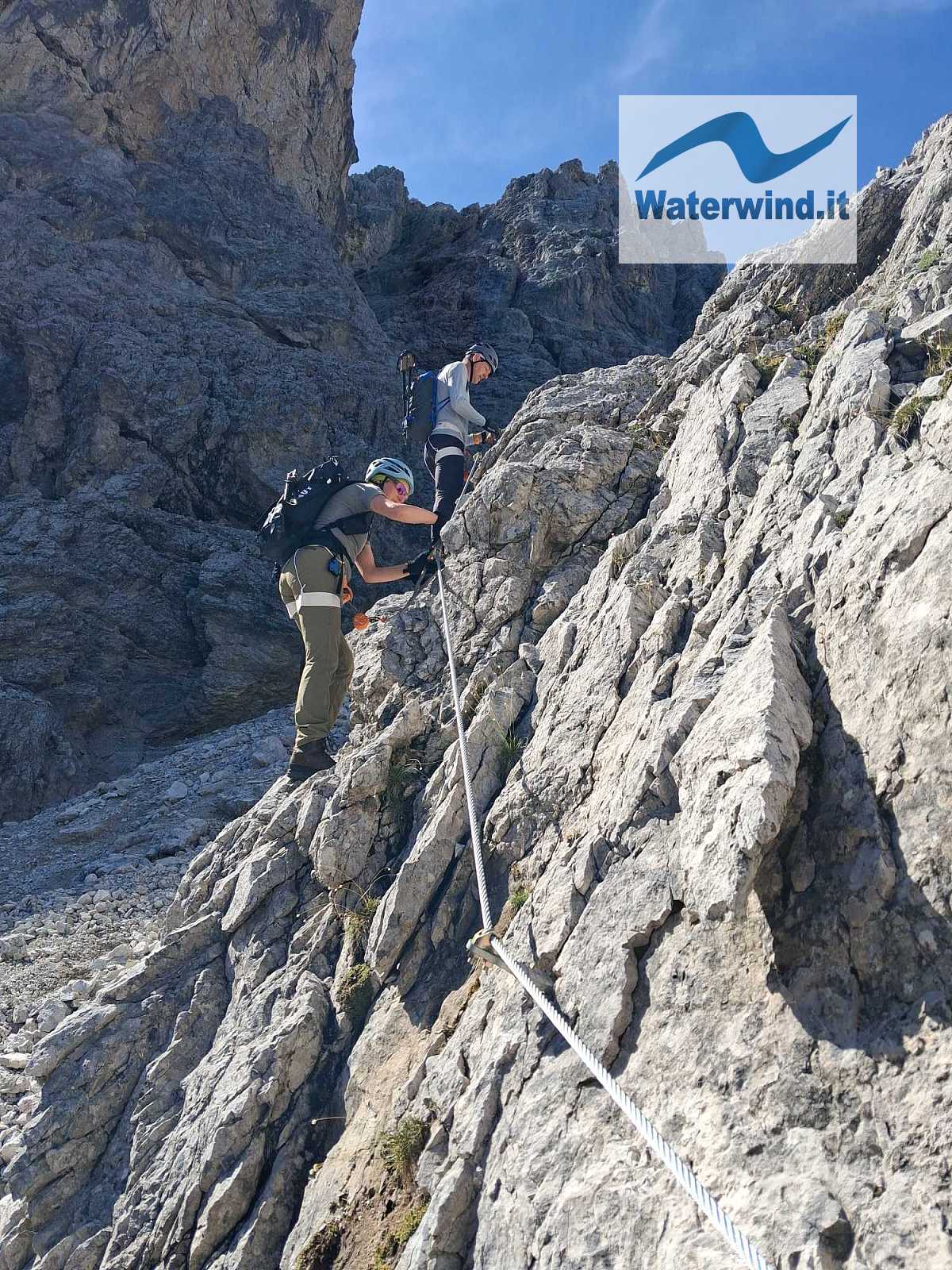
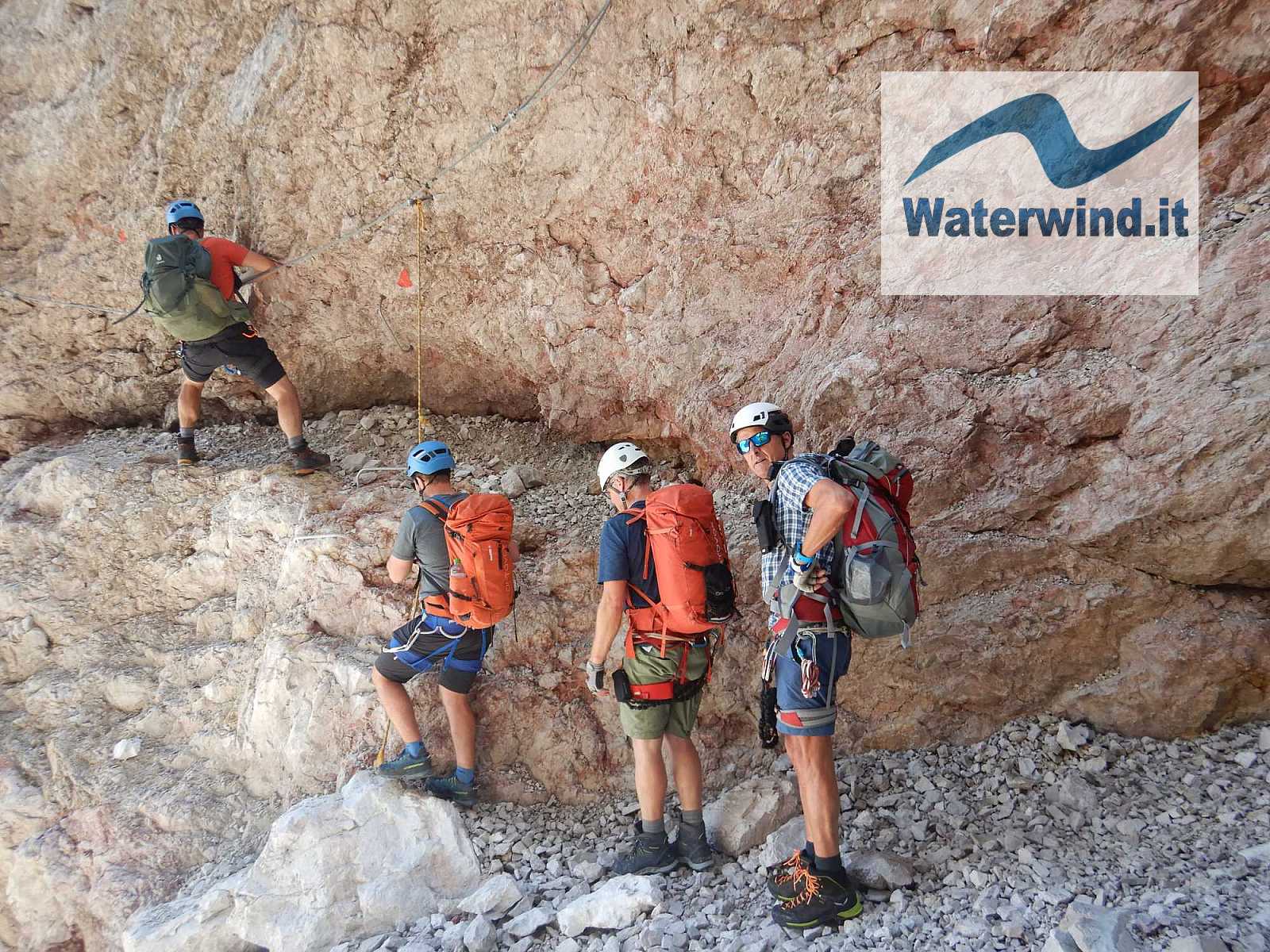
The route does not gain elevation; in fact, it loses a bit in the middle section. You then reach a deep notch—a spot that was surely often filled with snow in the past. When I passed through, a lovely waterfall was cascading down inside it. Concerned about potential rockfall, I moved through quite quickly.
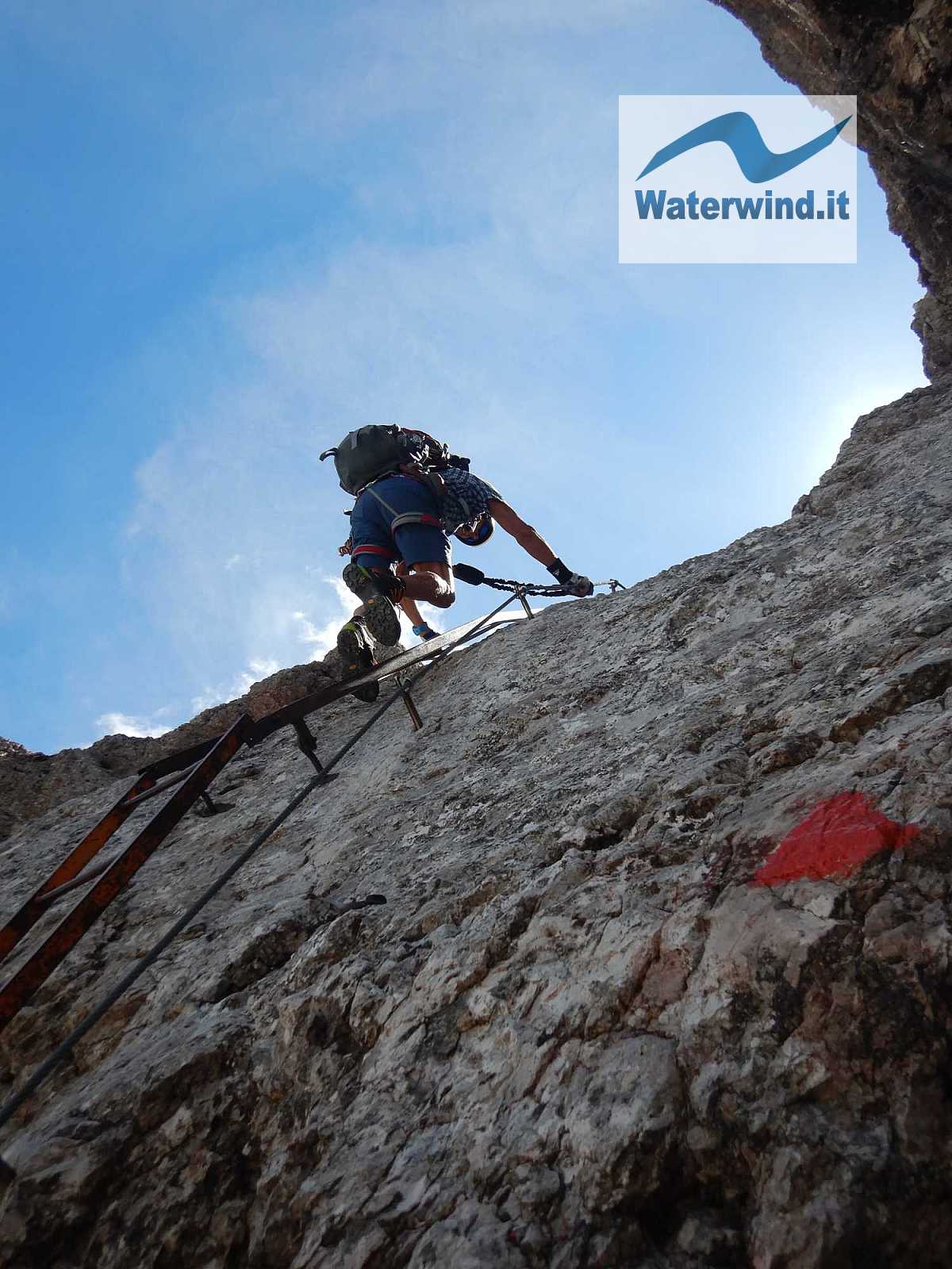
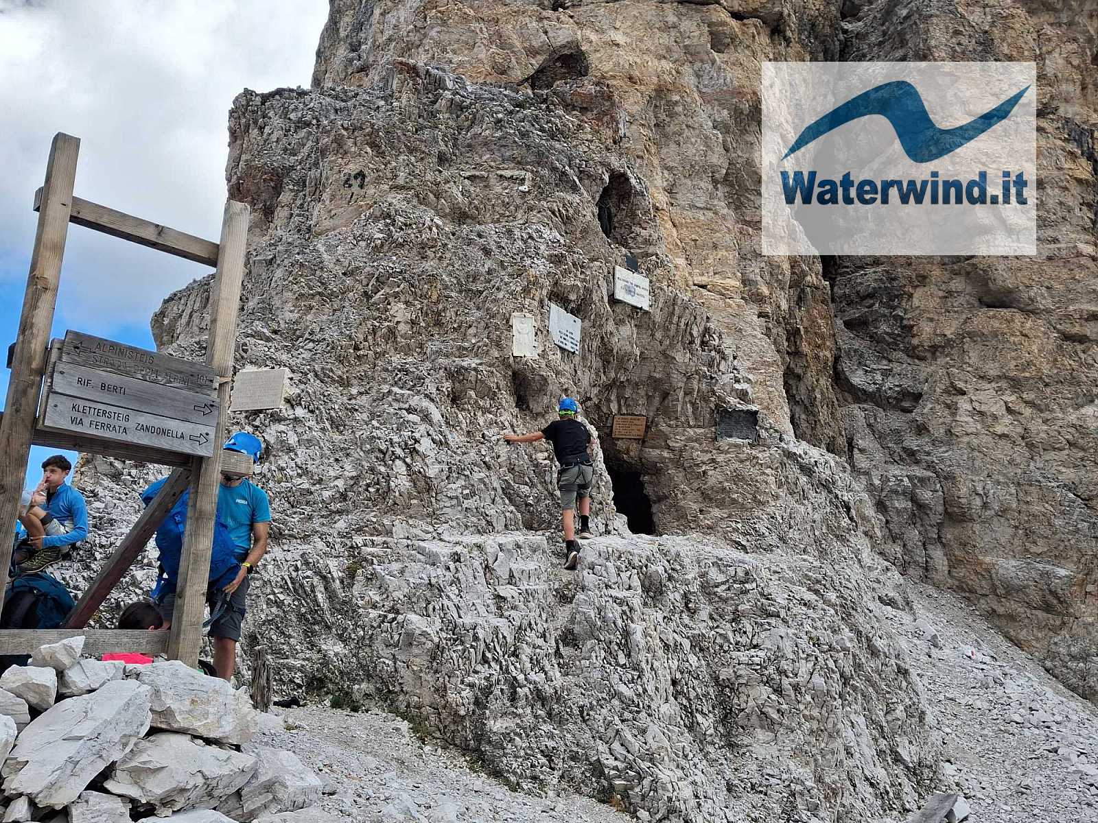
From this point on, the route begins to regain elevation, climbing toward the pass at 2,717 meters. It starts with a few ladders, followed by several sections of vertical rock face requiring climbing—sometimes with the aid of artificial footholds and handholds. You then arrive at a major junction: to the left, the path descends toward Val Fiscalina or connects to the Costoni *via ferrata*, which leads back to the Prati di Croda Rossa meadows. I continued to the right and, after a few final vertical stretches, quickly reached Passo della Sentinella (around 12:00 PM—about an hour and a half from Forcella Undici). There, I took a moment to contemplate the view, rest, and have a bite to eat. To the southeast, the entire Vallon Popera comes into view, sloping down toward Rifugio Berti in the Comelico area, which is visible in the distance. The original trail descending from the pass to the refuge was washed away by landslides and storms in recent years. To the northeast rises a vertical rock face—characterized by towers and pinnacles—leading up to Cima della Croda Rossa; at its base, there is a natural cavity that served as a shelter during World War I, along with several commemorative plaques.
From here, the quickest and easiest return route is to descend the section you just covered, then turn right at the junction below towards Prati di Croda Rossa or Val Fiscalina.
Around 12:30 PM, I headed for the start of the Zandonella West *via ferrata*, never imagining that the rest of the route would prove so long and grueling. If you wish to follow my route, aside from ensuring you are sufficiently fit, I suggest starting earlier from Prati di Croda Rossa.
To reach the start of the Zandonella, follow the signs at the pass; these lead you to the start of another new *via ferrata*: the Cengia Manuela. This route isn't overly difficult, but it involves losing a significant amount of elevation (about 100 meters) and takes some time to complete. You then reach a junction: turning right leads down a scree path to Rifugio Berti, while turning left quickly brings you to the start of the Zandonella West.
The Zandonella West is a serious *via ferrata*... The first section is easy, as it isn't very steep. Then comes the second, most challenging part—often vertical and occasionally slightly overhanging—featuring numerous rungs and metal aids to assist your progress. Actual climbing is required here, and knowing the proper technique is essential to avoid exhaustion. This is where the lessons from the CAI mountaineering courses I took in my youth really paid off. I made a constant effort to find solid footholds and push with my legs—which are stronger—rather than relying too much on my arms; I avoided keeping my arms fully extended overhead, except during the trickiest sections. You then reach the end of this second section, where a famous concrete wartime shelter is located on a wider ledge. From there, the route continues across a somewhat tricky stretch. You walk for a long distance along an exposed, scree-covered ledge that lacks a safety cable; you cannot afford to get distracted or trip. The ledge heads north and then east, bringing you beneath the south face—directly under the summit of the Croda—where the final section of the *via ferrata* begins. This part is still vertical but not particularly difficult, offering good footholds and handholds. You then reach a saddle, beyond which a gently descending path connects to the trail leading from the Costoni *via ferrata* to the secondary summit of Croda Rossa di Sesto (2,939 meters). This peak is marked by a beautiful summit cross and offers an incredible view of the Sesto Valley. I arrived here around 3:30 PM—three hours after setting out from Passo della Sentinella. It is worth noting, however, that the previous day I had climbed Piz Lavarella in Val Badia, covering an elevation gain of about 1,300 meters and hiking nearly 20 km... and I am almost 57 years old. Many of you will likely be faster, but do not underestimate the time required for this route.
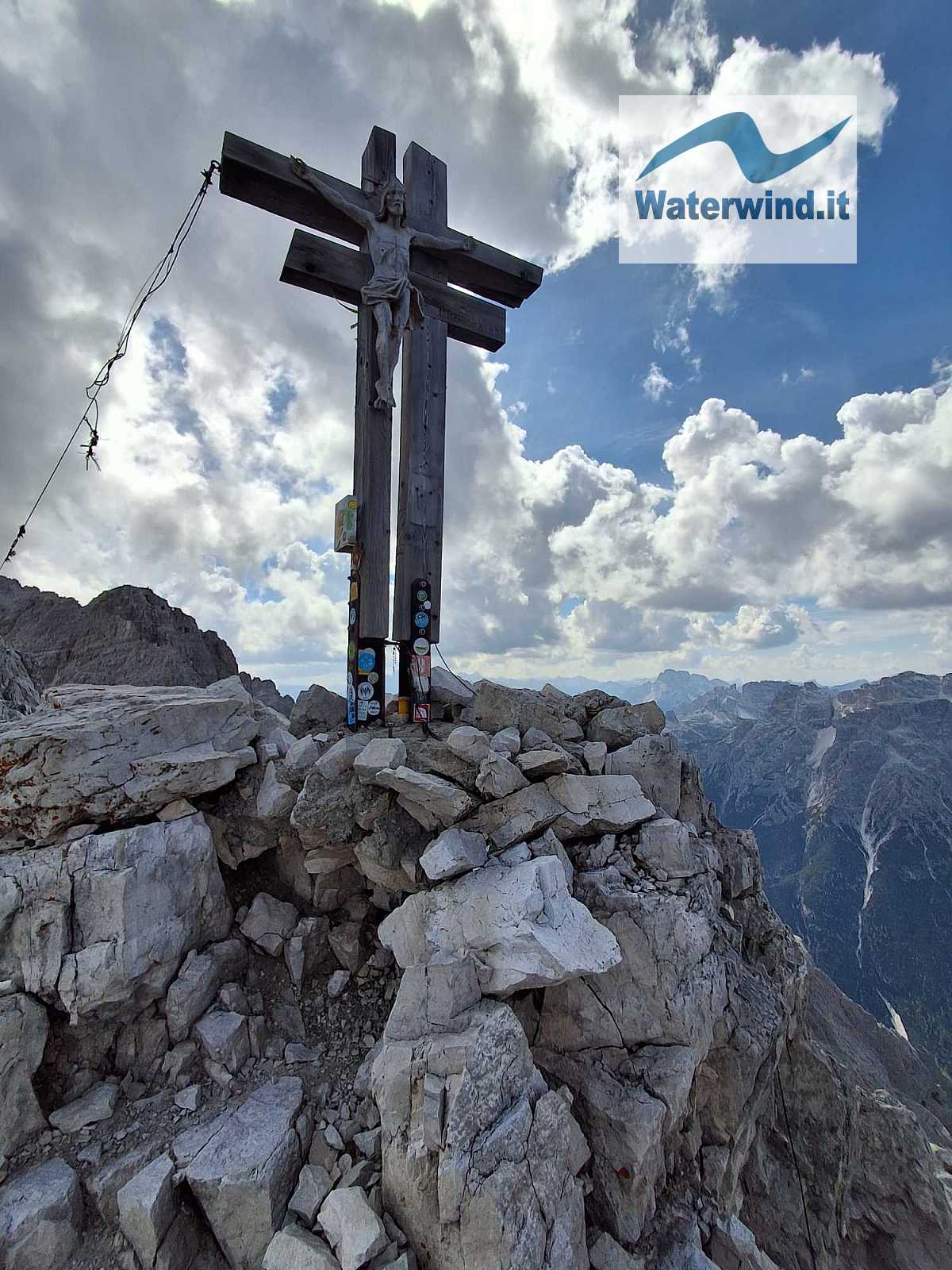
After a brief rest to catch my breath, I soon began the descent via the standard route—the Costoni *via ferrata*—details of which can be found in an article I wrote a few years ago. I should point out that finding the start of the descent route isn't immediately obvious, and it is easy to accidentally head back toward the Zandonella West route instead. Look for the red paint marks on the rocks and keep descending carefully; the initial section of the path isn't equipped with cables but is steep, and you will be tired. Also, note that if you wish to descend to Rifugio Berti from the summit of Croda, you need to head briefly east to reach the start of the Zandonella East route, which is marked by red dots (you can also spot the steel cable if you look in that direction). This is the recommended *via ferrata* for descending the south face.
I actually slipped on the path—a simple mishap caused by fatigue—but fortunately, the slope to the side wasn't too sheer; I stopped immediately, sustaining only a few scrapes. However, you must never let your guard down, especially during the descent when your legs are weaker, or even on a simple path where you might be tempted to be less cautious.
I got back to Prati di Croda Rossa just after 6:00 PM, meaning I missed the gondola back to Moso (it closes at 5:30 PM) and, more importantly, the *Weissbier* at Rudi Hütte that I had been looking forward to all the way down! So, I had to make my way down to Moso along the forest road, returning to the starting point at 7:40 PM—bringing the total descent to a staggering 1,700 meters... Fortunately, my wife took pity on me and came to pick me up by car, as I wasn't sure I could get back to Valdaora using public transport.
This hike will remain forever etched in my memory: an extraordinary feat for me!
Enjoy your climbing. Fabio
Click here for the complete slideshow of the excursion.
Without your Support, Waterwind wouldn't exist. Become our supporter!
Listen to this article podcast. Leave a comment on this article below!
If you want to advertise with us, read here, or conctact us.