


The ascent of Piz Lavarella in Val Badia, South Tyrol, offers a truly rewarding trekking experience. You traverse unique and fascinating landscapes, and from the summit, you enjoy a 360-degree view of the most important peaks in the Dolomites.
Trekking: Piz Lavarella, Badia Valley (Gadertal), South Tyrol (Dolomites)
I have stayed in San Cassiano, in Val Badia—beneath the sheer faces of Piz Lavarella—several times during summer holidays. It was only this past summer, however, that I finally had the chance to summit this peak, which offers panoramic views and reaches an altitude of 3,055 meters.
There are two options for reaching the summit. You can start from Capanna Alpina, accessible by heading up from La Villa towards Passo Falzarego. In this case, the starting elevation is 1,720 meters, meaning an elevation gain of over 1,300 meters covered over a 9 km route (18 km round-trip).
Alternatively, you can start from the Santa Croce Hospice (at 2,045 meters), which is accessible via the new La Crusc gondola lift rising from Pedraces. This route involves less elevation gain and is slightly shorter, but it requires navigating sections of exposed and/or steep trail—particularly the stretch between Forcella di Medesc and the summit.
Finally, the summit can also be reached via a long hike starting from Albergo Pederù (in Val Dai Tamersc) and passing by Rifugio Lavarella (where you can spend the night to break up the trek).
I chose to start from Capanna Alpina.
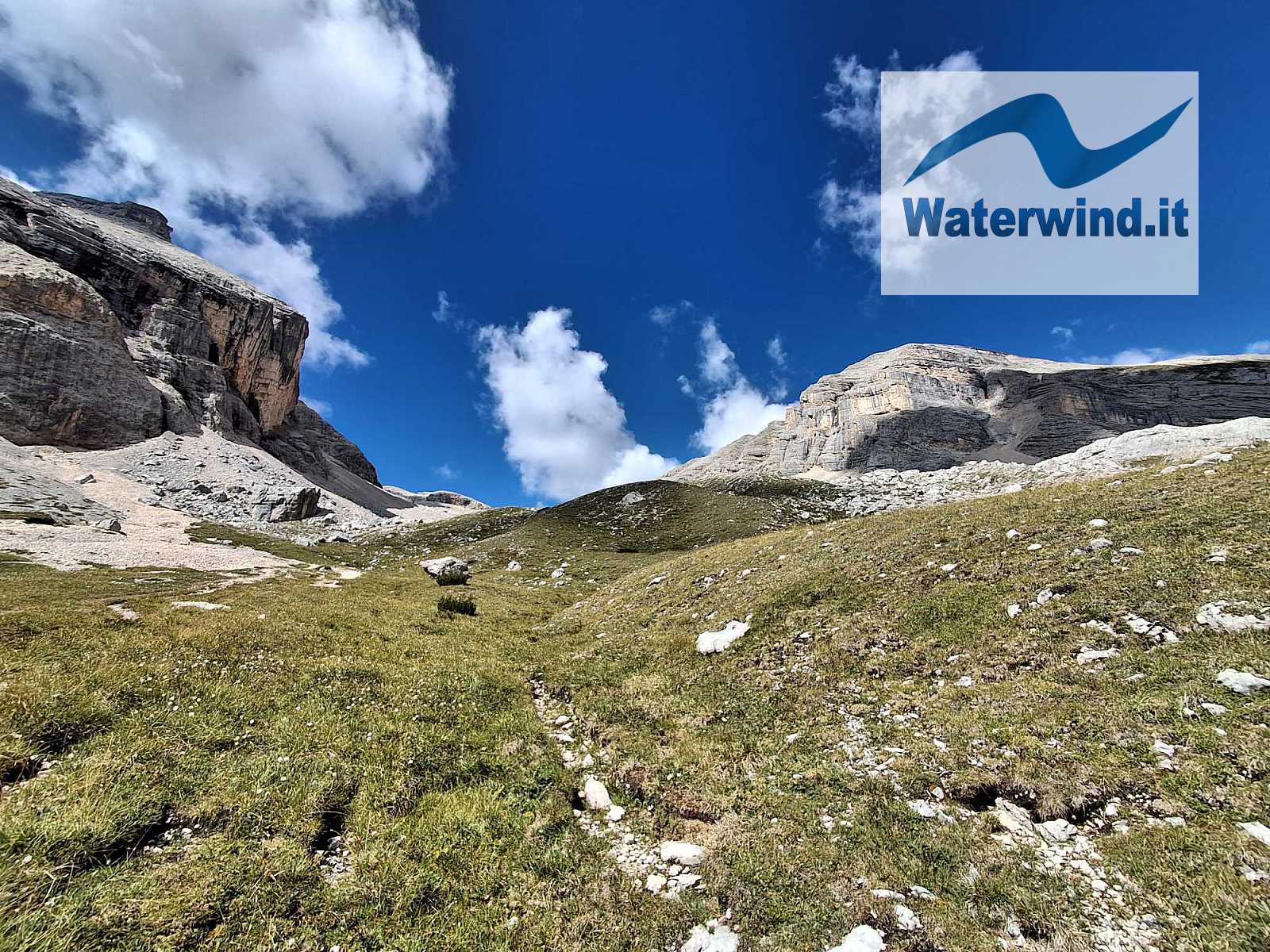
Click here for the slideshow of the day

Near the starting point, there is a large unpaved parking area (10 euros/day – 2026).
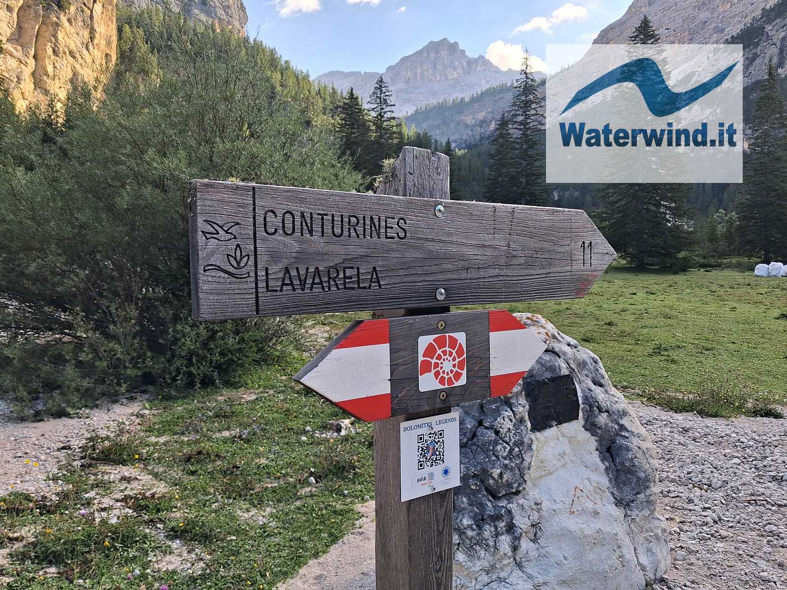
Shortly after the hut, the trail heads into the plain behind it and soon reaches a fork: to the right, a path climbs toward Rifugio Scotoni and then Lagazuoi; to the left, the path ascends toward Col de Locia (2,069 meters)—marked as trail 11.
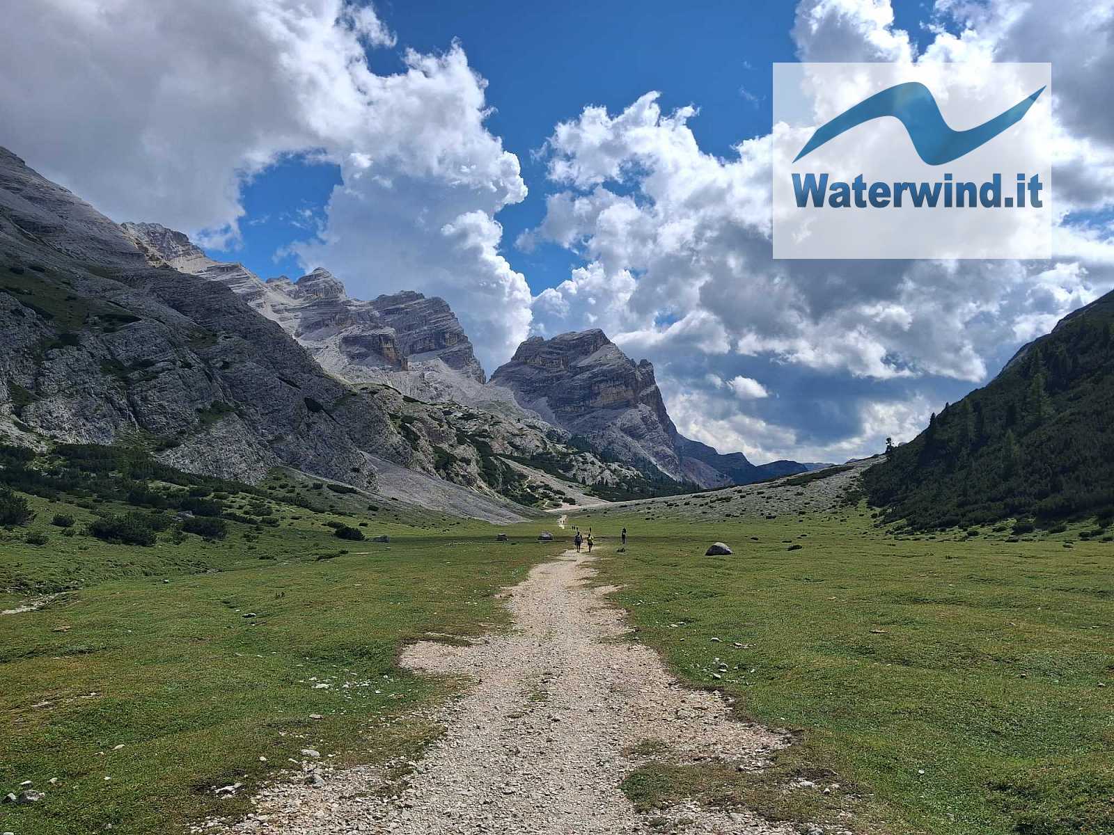
The ascent is gentle at first, but the gradient steepens significantly beneath the pass. After a few ups and downs, the trail opens out onto the Grand Plan—a stunning, lush green high-altitude plateau crossed by a winding, refreshing stream and dotted with grazing cows.
The route continues to Ju dal'Ega (2,157 meters), where you turn left (West) to ascend the valley running between the Conturines and Piz Lavarella (4.7 km and 1 hour 30 minutes from the start).
Throughout this section, the peaks of the Conturines massif captivate the eye with their reddish, rugged, and dramatically sculpted rock faces.
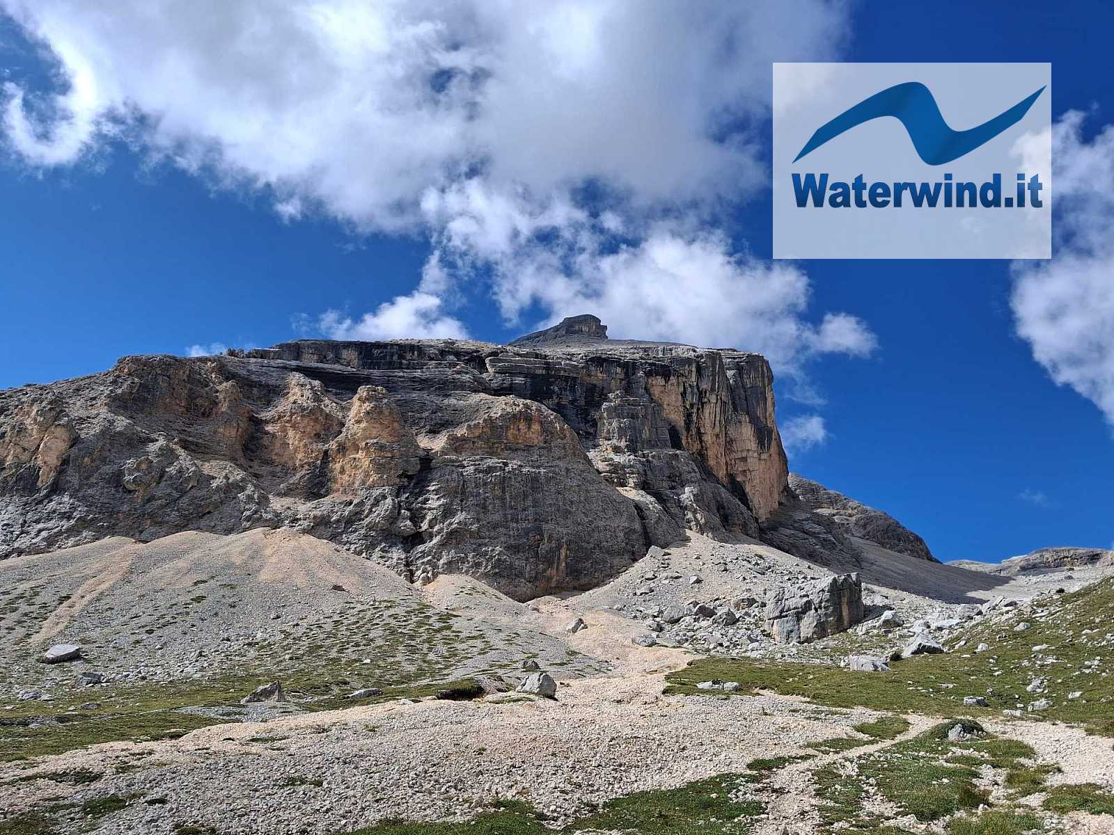
From this point, the trail alternates between fairly steep uphill sections and flatter stretches, eventually reaching Lake Cunturines—which, at the time of my visit, was unfortunately nearly dried up due to the scorching summer.
After passing the lake—where I took a short break—the terrain becomes decidedly rockier, and the ascent is steady, though never extremely steep. From this point on, I hiked part of the route with two friendly guys from Glasgow, Scotland—a testament to how increasingly popular these mountains have become with international tourists.
After another hour and a half of patient hiking, you reach a junction at nearly 2,900 meters. Turning left (south) leads toward the summit of Conturines (reaching it requires negotiating a short, vertical section equipped with cables, where wearing a via ferrata harness is advisable), while turning right leads toward Piz Lavarella (trail 12B).
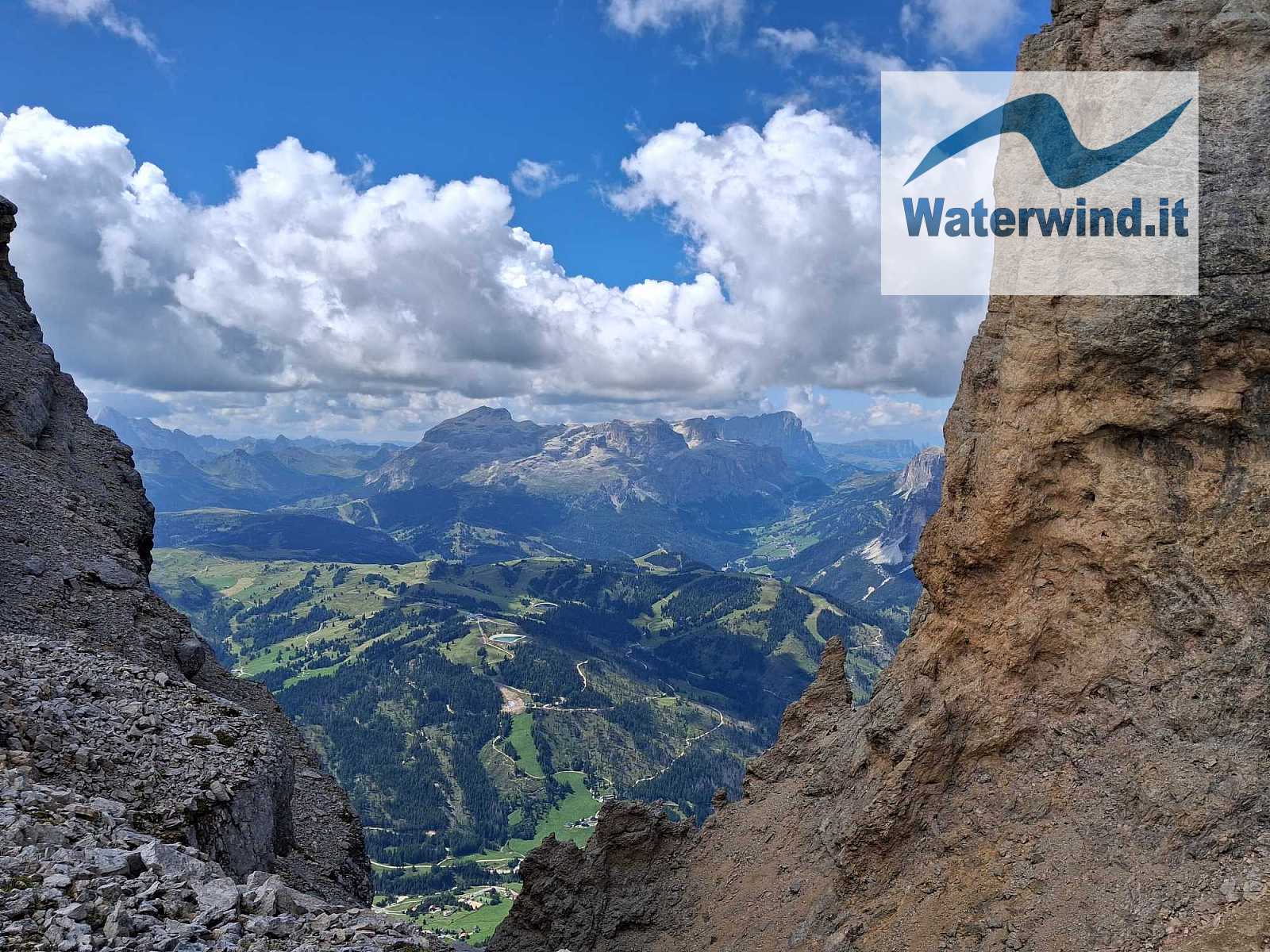
Shortly after the junction, you reach a saddle at 2,900 meters, beyond which the mountainside drops almost vertically toward Val Badia. The view here is breathtaking: the Sella Group appears in the foreground, while further to the right, you can see Sassongher and, beyond that, the Odle peaks.
Now comes the relatively more challenging section. First, you climb along an unstable, loose-rock path until reaching an elevation of about 2,940 meters.
Here, you are faced with a south-facing rock face. Having read in an online description that the final approach to the summit involves an easy Grade I climb, I began ascending the face directly. The rock face offers plenty of handholds and footholds; it is stable and easy to climb, provided you don't suffer from vertigo. In reality, the proper trail bypasses the rock face and continues along a horizontal ledge—which is somewhat narrow and exposed in places (and no less tricky than the climb I undertook). I realized my mistake when, after about thirty meters of climbing, I emerged onto a rocky plateau where the other hikers were arriving from my right (SE), having taken the ledge route. The choice of route is up to you.
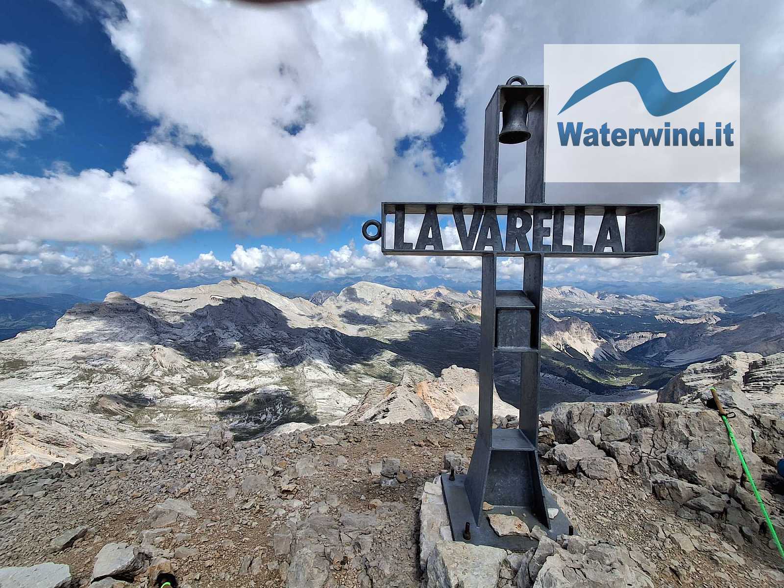
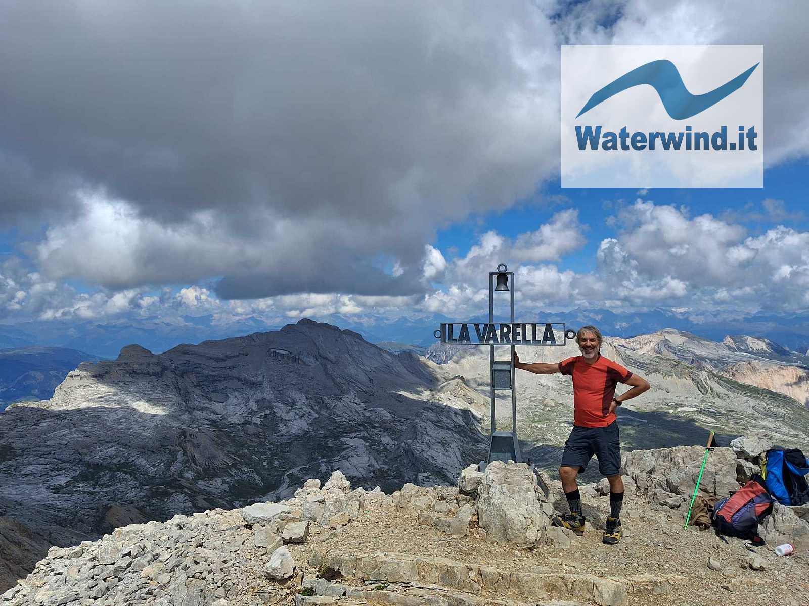
In any case, after the plateau, you head toward a small rocky gully; the ascent here is fairly straightforward (this is likely the climb mentioned in the description), and it leads to the saddle between Piz Lavarella de Fora (3,034 meters) and the main peak (3,055 meters). I headed straight for the highest summit, which features a beautiful cross complete with a bell and the peak's name. I arrived shortly before 1:00 PM, after a journey of nearly four hours—a time influenced by the photos and videos I took along the way.
At the summit, I met some friendly locals speaking Ladin who were tackling the "4 Peaks" challenge (Sas dla Crusc, Piza dales Diesc, Lavarela, and Conturines)—a feat that earns a special recognition (read more here).
Together, we began identifying the surrounding peaks visible from the summit. There are so many of them: Pelmo, Civetta, Cristallo, Tofane, Antelao, Tre Cime di Lavaredo, Croda Rossa di Sesto, Marmolada, Sella, Sasso Lungo and Sasso Piatto, Sciliar, Odle, Sass de Putia, Vedrette di Ries, Grossglockner... it’s impossible to list them all.
I then made my way down via the same route I had come up, taking it easy and chatting for part of the descent with Adriano and Chiara, a friendly couple from Rome.
It was another mountain day truly worth experiencing to the fullest.
Enjoy your climbing. Fabio
Click here for the slideshow of the day
Without your Support, Waterwind wouldn't exist. Become our supporter!
Listen to this article podcast. Leave a comment on this article below!
If you want to advertise with us, read here, or conctact us.