


For some time, I had been willing to discover Lake Arpy, located between Morgex and La Thuile, in the Aosta Valley. I took advantage of a beautiful autumn day to reach the lake—and, more importantly, Punta della Croce at 2,480 meters—which offered a unique point of view, facing Mont Blanc.
Trekking: Lake Arpy and Punta della Croce (Aosta Valley). In the presence of His Majesty, Mont Blanc
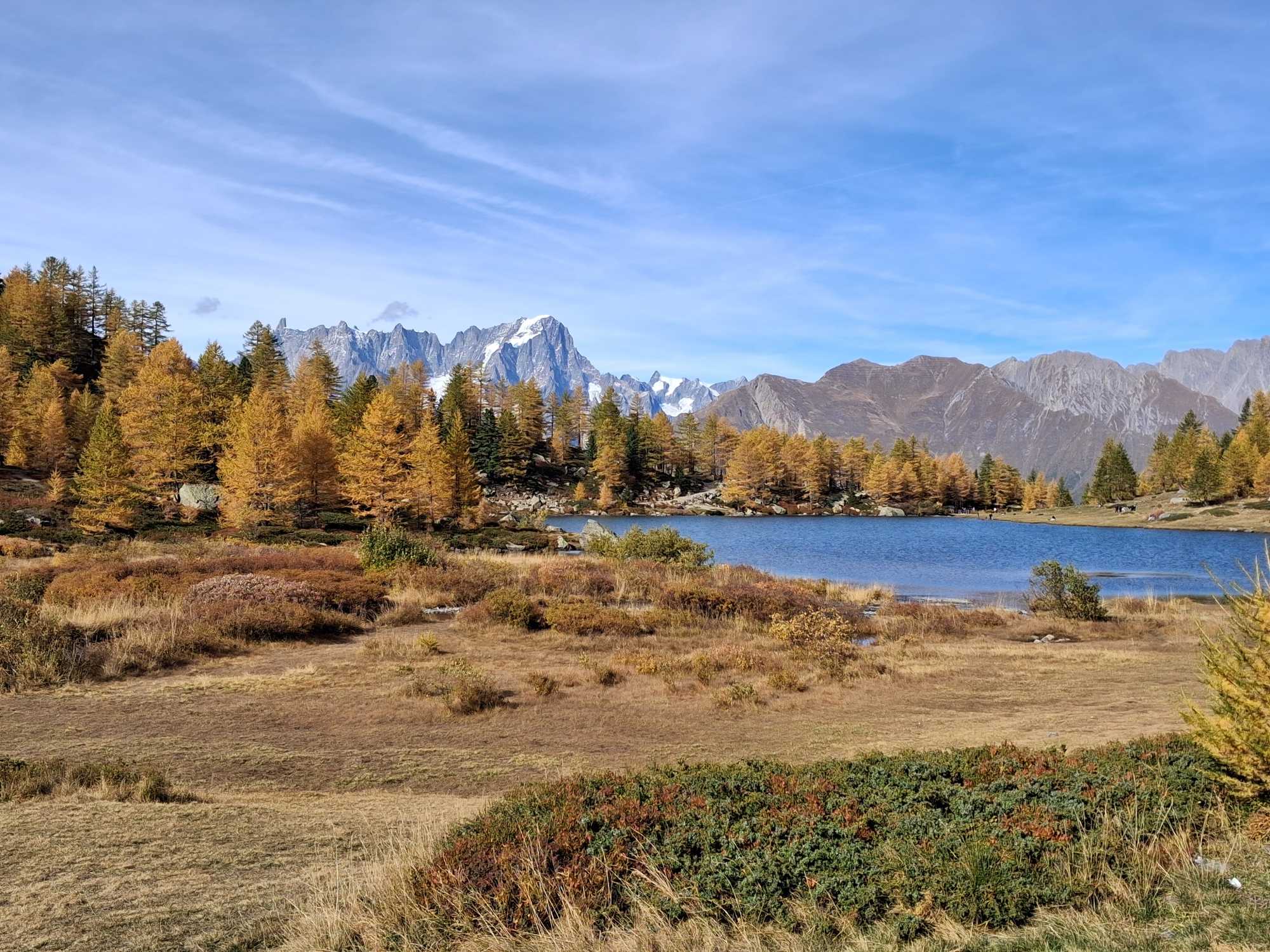
Lake Arpy is an accessible and fairly popular destination within the mountain group located between Morgex, La Thuile, and Courmayeur. It is a place that offers enchanting scenery in every season. After my wife visited it in winter—when it was covered in snow—I felt inspired to go on a hike there myself. I waited until the woods had donned their autumn colors before making the trek to the lake. And it certainly did not disappoint, as the images and the photo gallery in this article clearly show.
Click here for the complete slide gallery of the excursion

The starting point is the Genzianella Restaurant/Hotel, which can be reached by driving along the SR39 road from Morgex (just before the San Carlo pass) or from La Thuile (just after the pass). There are several parking areas near the restaurant/hotel.
Alternatively, you may park carefully along the roadside.
Once you have your hiking boots on, follow the signs for trail number 15, heading south. The path is a dirt road with a gentle incline, making it easily accessible for families—even those with small children or strollers.
We opted for a loop route, heading up to the scenic Punta della Croce (at 2,480 meters) before descending to Lake Arpy (Lago di Arpy). See our route map below.
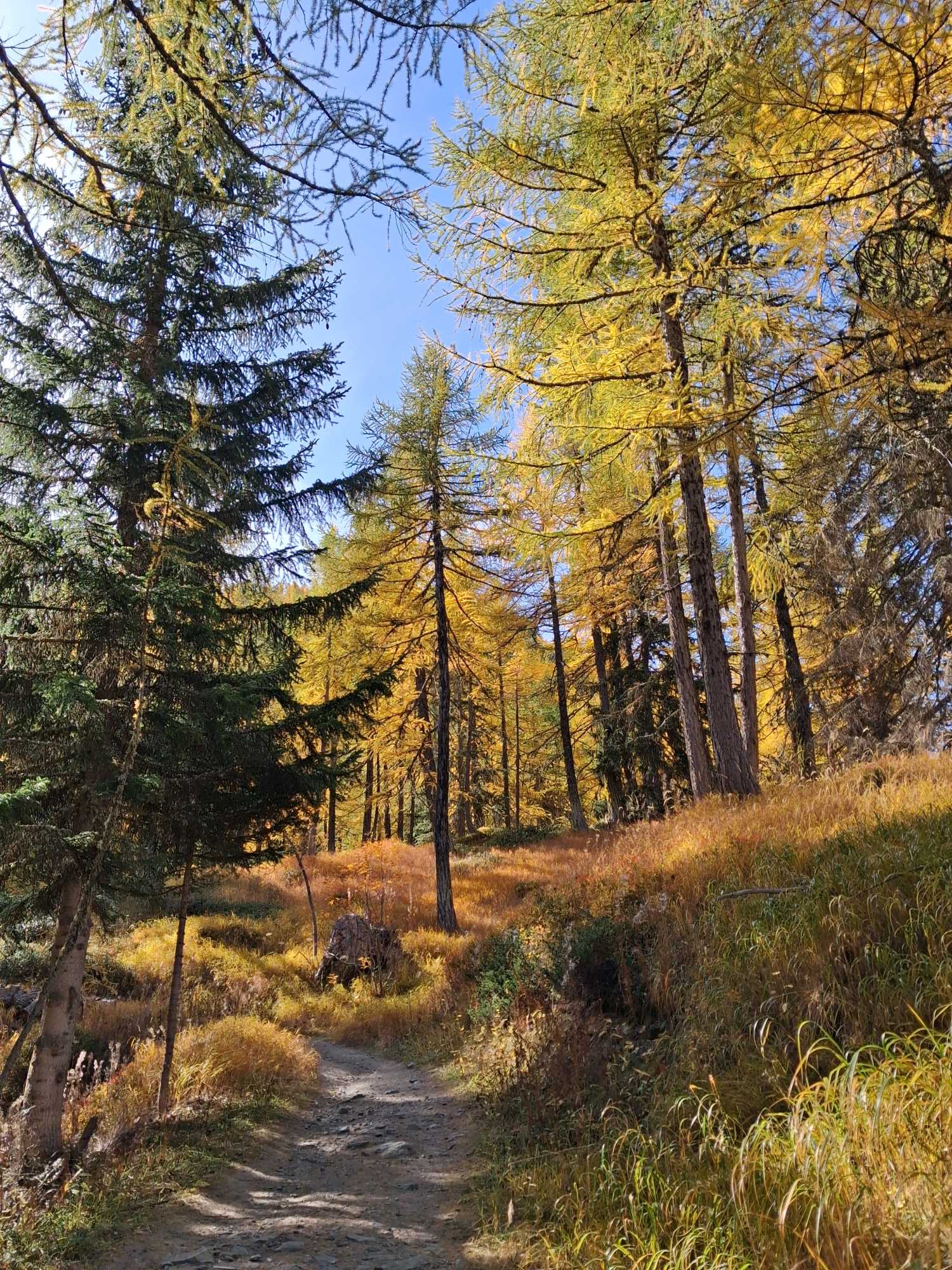
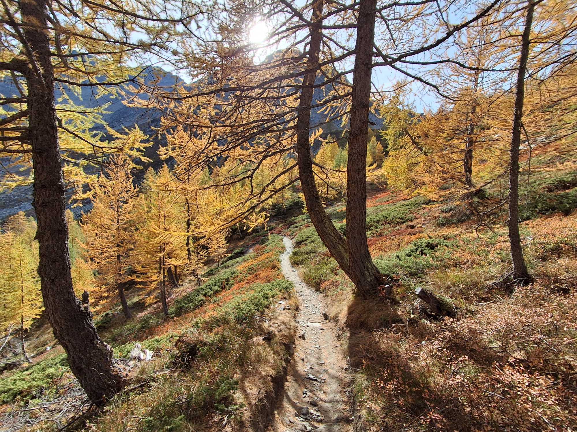
We then turned onto trail number 16—about 700 meters from the start, at a very clear junction (follow the signs for Colle della Croce). Initially, the path winds through Plan de Bullet, gaining little elevation as it passes through beautiful, open coniferous woods. Here, the larches began to treat us to their magnificent autumn display.
Beyond Plan de Bullet, the trail continues southward; it remains wide and well-defined, with a gentle incline that never exceeds 10%. A few switchbacks help to overcome the elevation gain. The path is actually an old military road, built to reach the defensive fortifications at Colle della Croce and Punta della Croce—structures dating back to the 17th and 18th centuries, commissioned by the Duchy of Aosta to protect the valleys against potential French attacks.
After about 4.3 km, upon reaching an altitude of 2,300 meters, the trail turns toward the west/southwest and enters the valley that descends from Colle della Croce toward Lago di Arpy. The forest gives way to high-altitude heathland, where blueberries and junipers blanket the valley slopes—creating a mosaic of red (the blueberries in their autumn colors) and green (the junipers).
Before long—in just under two hours—you arrive at the pass (Colle della Croce). Beyond it, the view opens up toward the La Thuile valley and the majestic Mont Blanc. It is well worth making one final push: in another 15 minutes, you can reach the summit of Punta della Croce, which offers a panoramic view encompassing the entire Mont Blanc massif. The final short stretch features a slightly steeper gradient (20%) compared to the rest of the route.
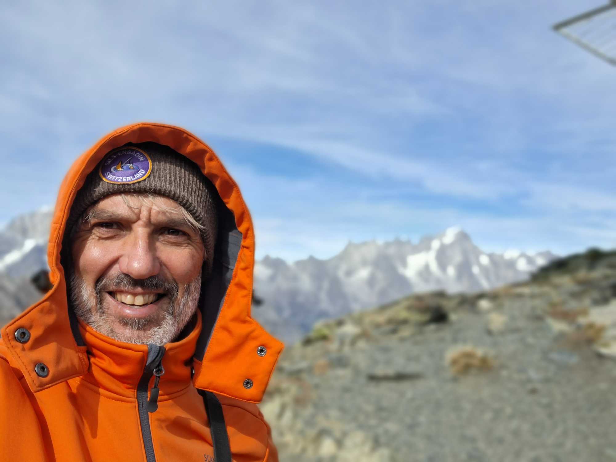
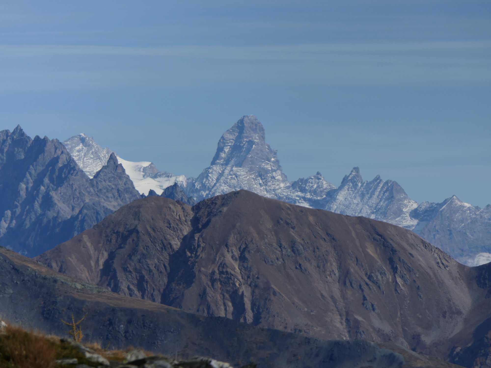
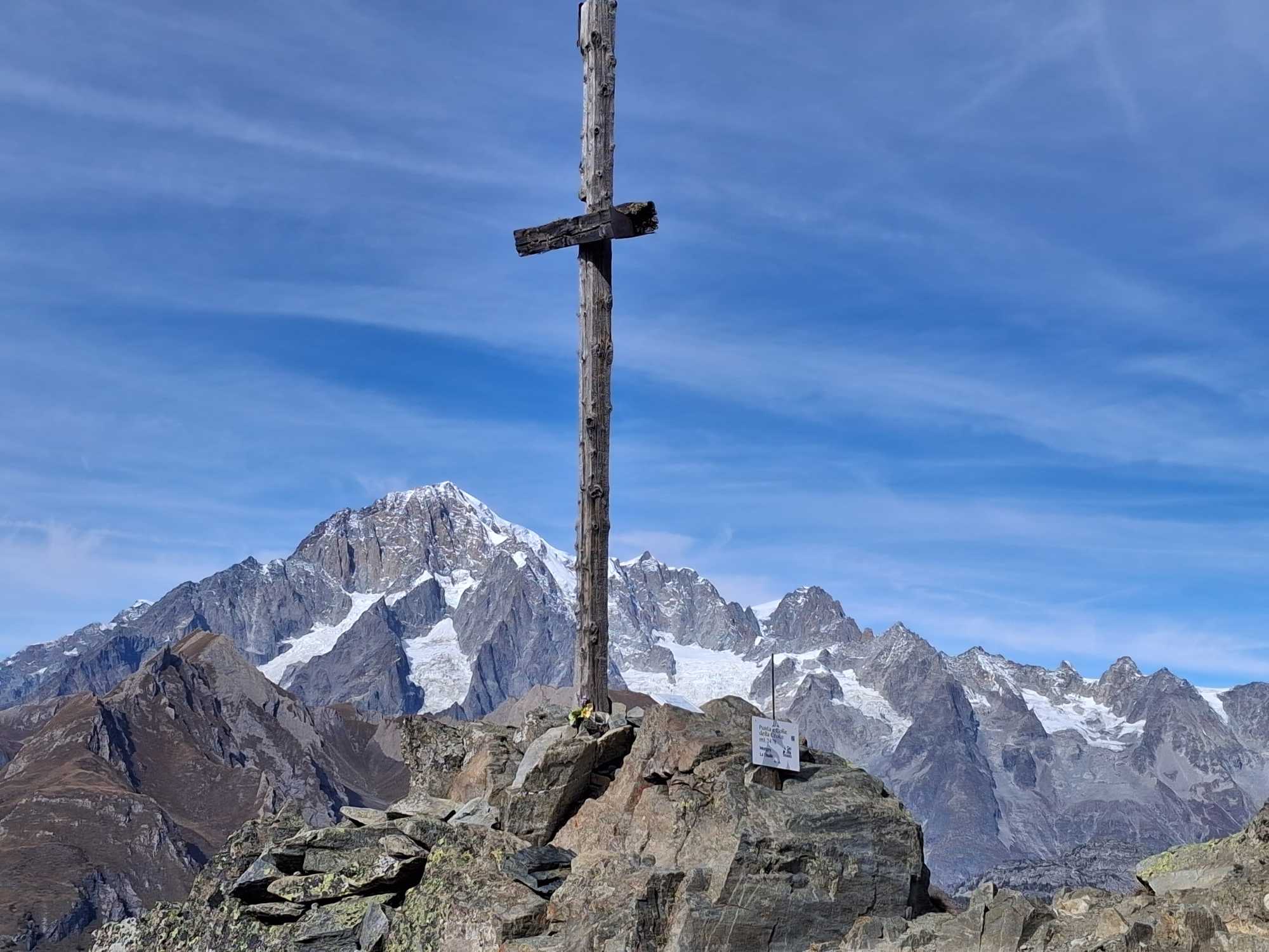
At the summit, we bundled up. Finally, the breath of autumn and winter has begun to blow, following an unbearably sweltering summer. We sat and gazed at the peak of Mont Blanc, with its glaciers cascading down the southeast face; the Aiguille Noire and the area around the Monzino Refuge—which we reached this summer via the beautiful Ferrata Garda—and, looking further north, Punta Helbronner, the Dent du Géant, and the Grandes Jorasses. It is not every day that one gets to admire a panorama of such extraordinary peaks. Below lies Courmayeur. But if you turn toward the east, you will spot an unmistakable pyramid—another iconic peak of the Aosta Valley: the Matterhorn!
After a packed lunch, we took trail number 17, which descends toward Lake Arpy. The path is steeper and, in places, somewhat uneven, with scattered rocks. We recommend following the loop in the direction we took, which spares you a more arduous ascent.
The lake can be reached in just under an hour from the Colle della Croce. It is well worth stopping along its shores to enjoy the tranquility (though perhaps not in the height of summer!) and the striking views, with the Mont Blanc massif partially visible in the background.
From there, it takes 30 minutes to return to Restaurant Genzianella, following trail 15 the entire way.
Starting from the lake, it is also possible to reach the higher-altitude Lago di Pietra Rossa and Monte Colmet via more challenging hikes—excursions I might undertake on a future visit.
Ciao. Fabio
Click here for the complete slide gallery of the excursion
Without your Support, Waterwind wouldn't exist. Become our supporter!
Listen to this article podcast. Leave a comment on this article below!
If you want to advertise with us, read here, or conctact us.