")


The stretch of coastal path from Plage de l'Escalet to Cap Taillat, in the municipality of Ramatuelle, in southern France, allows you to make a nice trek immersed in a kaleidoscope of colors and exciting suggestions.
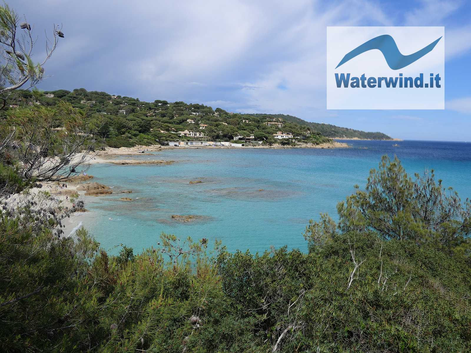
Trekking, Sentier littoral: Plage de l'Escalet - Cap Taillat (Ramatuelle, France)
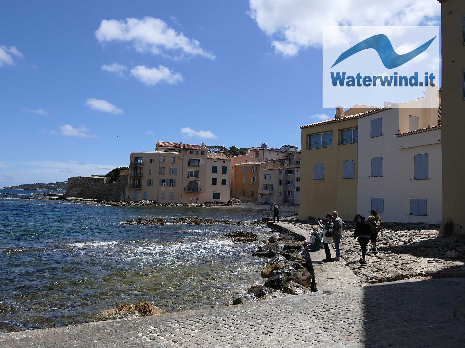
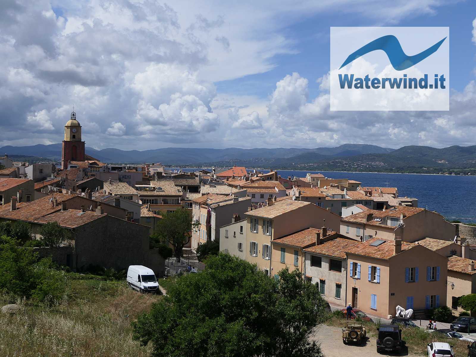
The Saint Tropez area is often crowded and chaotic. But just go a few kilometers further south and explore the coast between Cap Camarat and Cap Lardier to discover spectacular corners of nature, and a sea environment with intense and luminous hues.
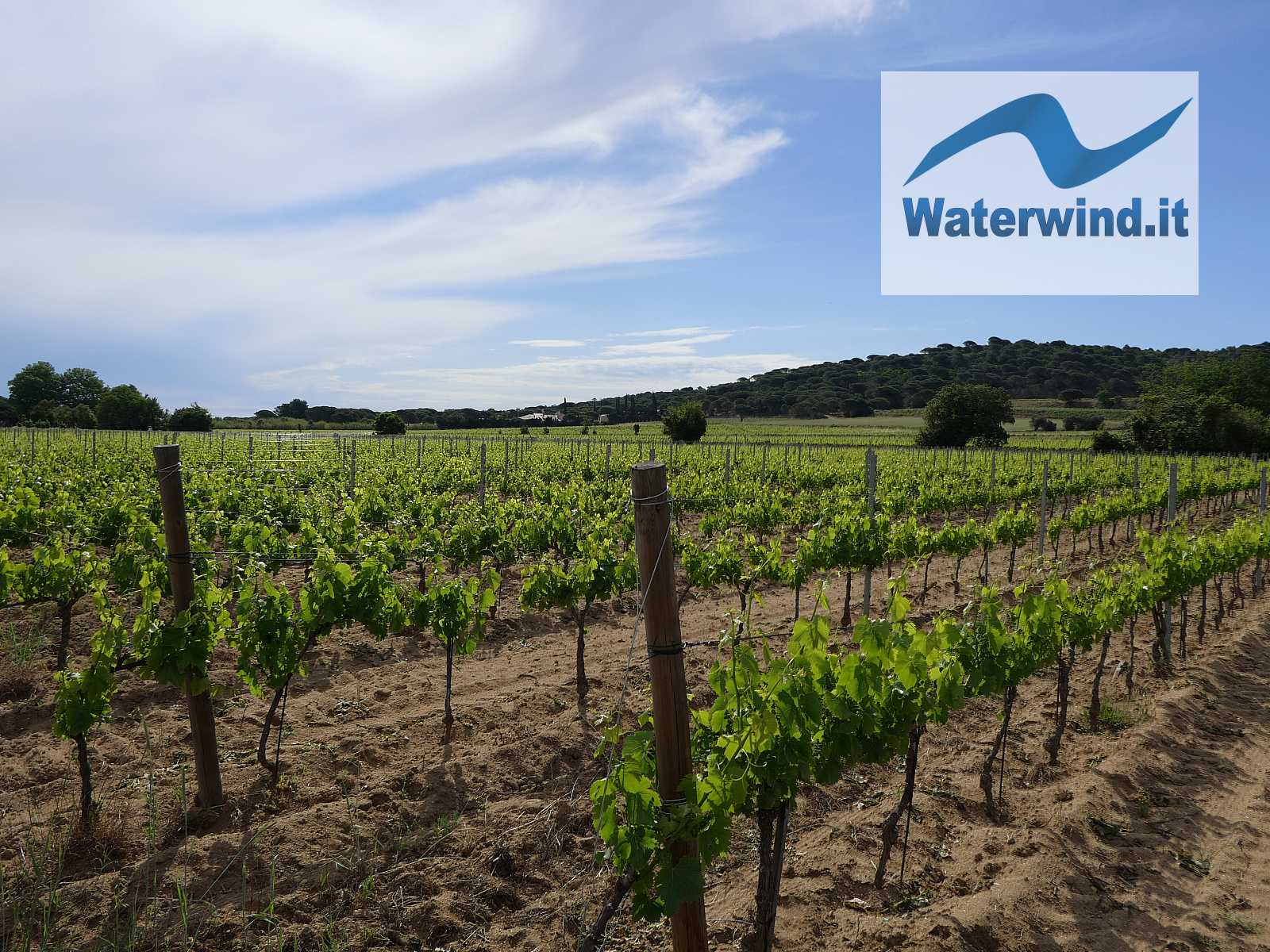
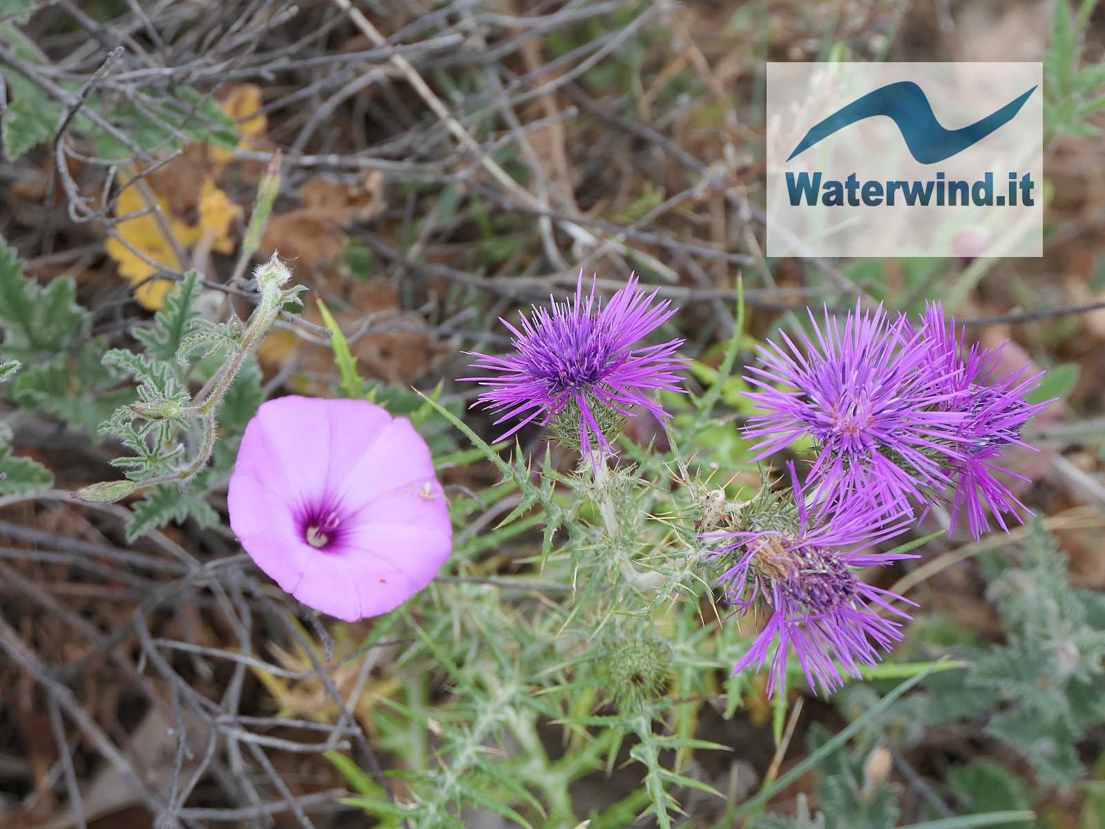
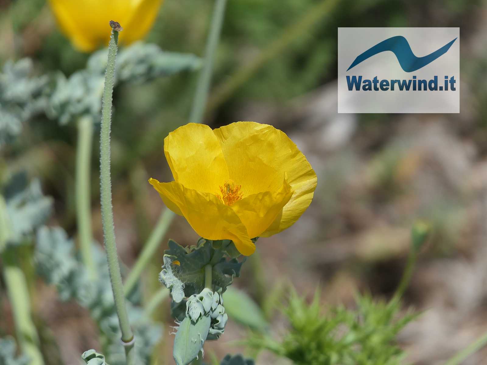
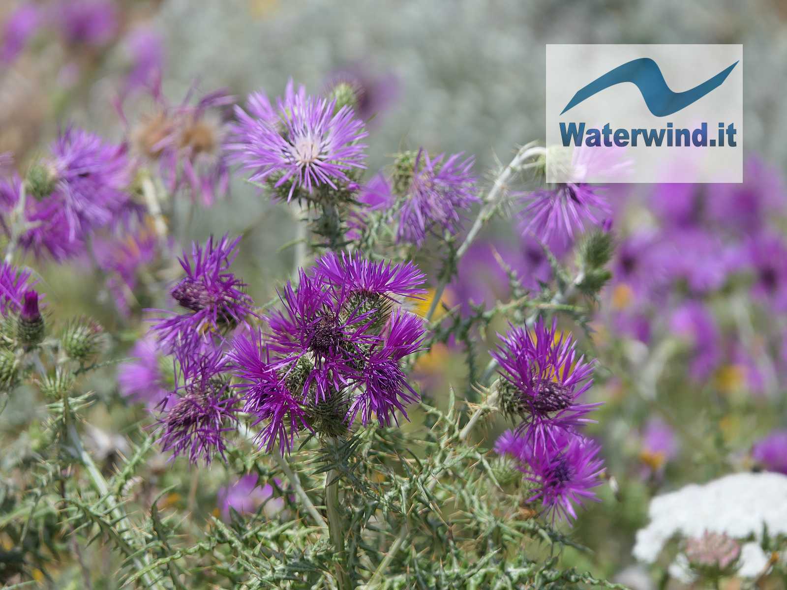
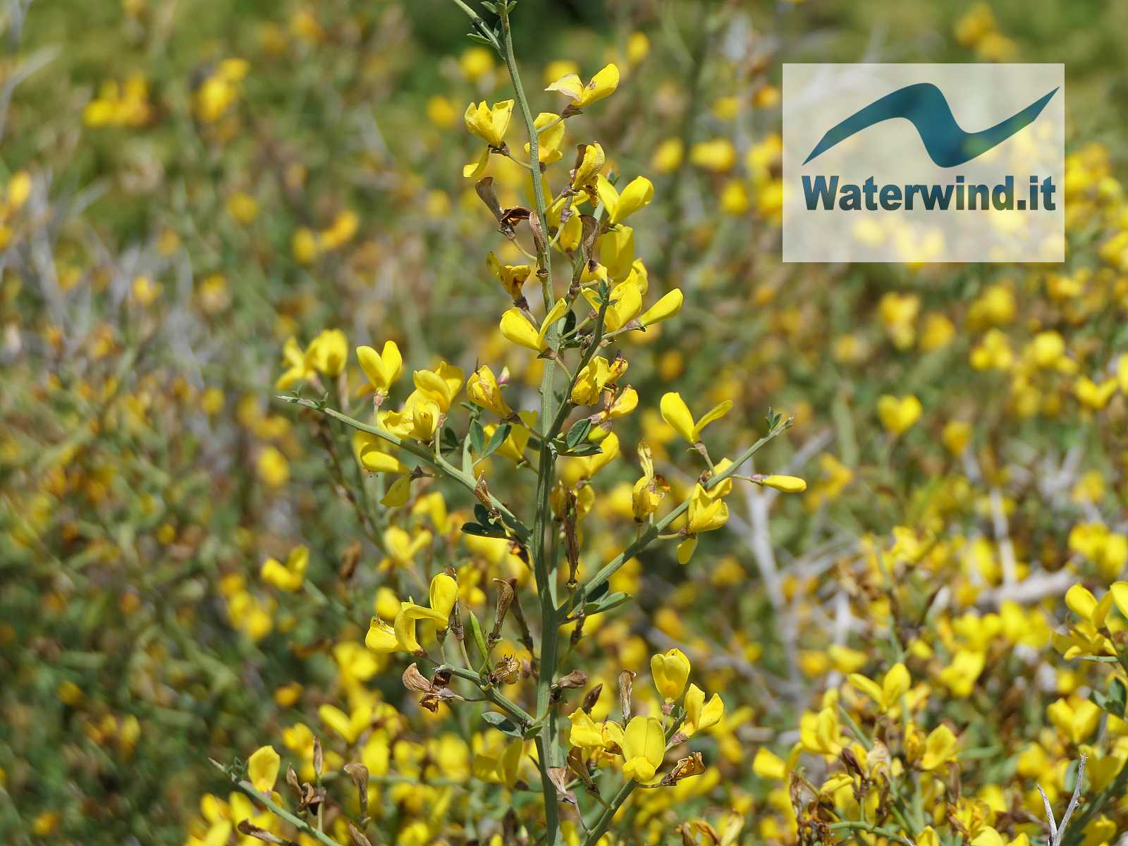
And the countryside around Ramatuelle, which you cross to get to the starting point of the itinerary, is also a magnificent discovery, especially if you pass here in spring time. Green vineyards alternate with dark green pine and holm oak woods, and other Mediterranean vegetation, which cover the hills, sometimes gentle, sometimes more inaccessible, of the inland coast. To complete the magnificent rural picture, you have the beautiful farms (mostly wineries) plastered in a light ocher, that recalls the earth and rocks of these places.
The coastal path, along the shoreline, starts from Saint Tropez and arrives at the Plage de Gigaro, and takes several days to be covered entirely. In about 3.5 hours it is possible to reach Cap Taillat starting from the southern end of the Plage de Pampelonne (from the restaurant Le Migon, Route de Bon Terrasse), also passing through Cap Camarat.
Or, as we did, with a shorter route, you can drive to the beautiful Plage de L'Escalet to get to Cap Taillat, or even better, a little further, up to the Plage de Briande (see our map below).


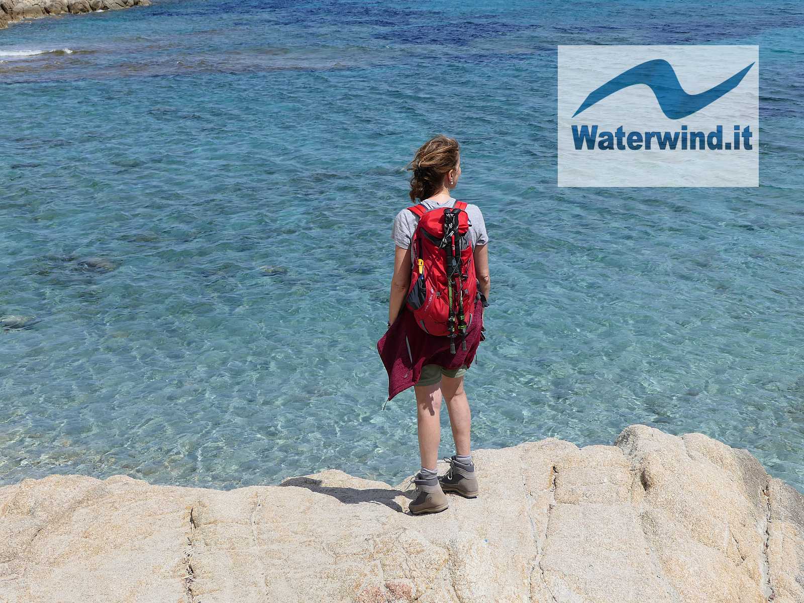
The itinerary is relatively simple, but not trivial, and is also within the reach of families with children (at least 6 years of age or older). However, it is important to state that the lower variant on the coast involves sections where you have to overcome some rocks and reefs, not difficult, but not ideal or easy for younger children (or elderly people). For the round trip, consider about 2 hours of effective time on the move.
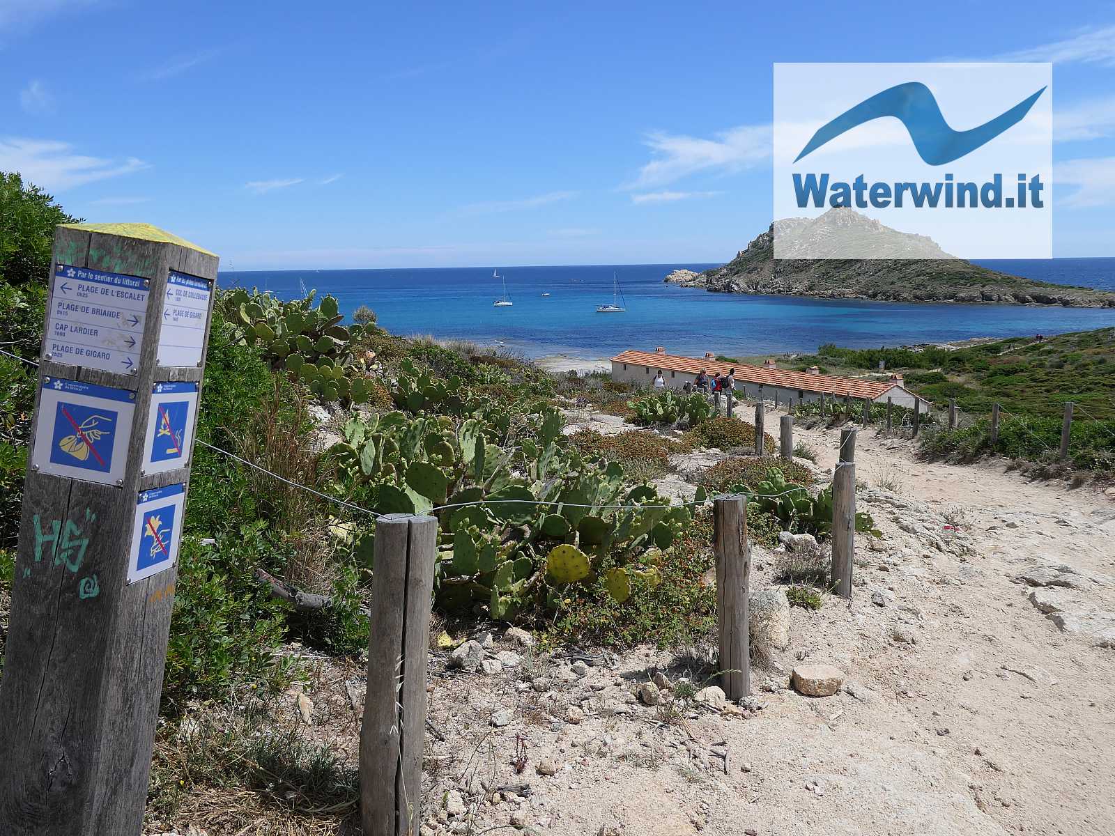
Upon departure, you can leave your car behind l'Escalet beach (paid parking in the summer - plenty of spaces). The trail starts near the public toilets.
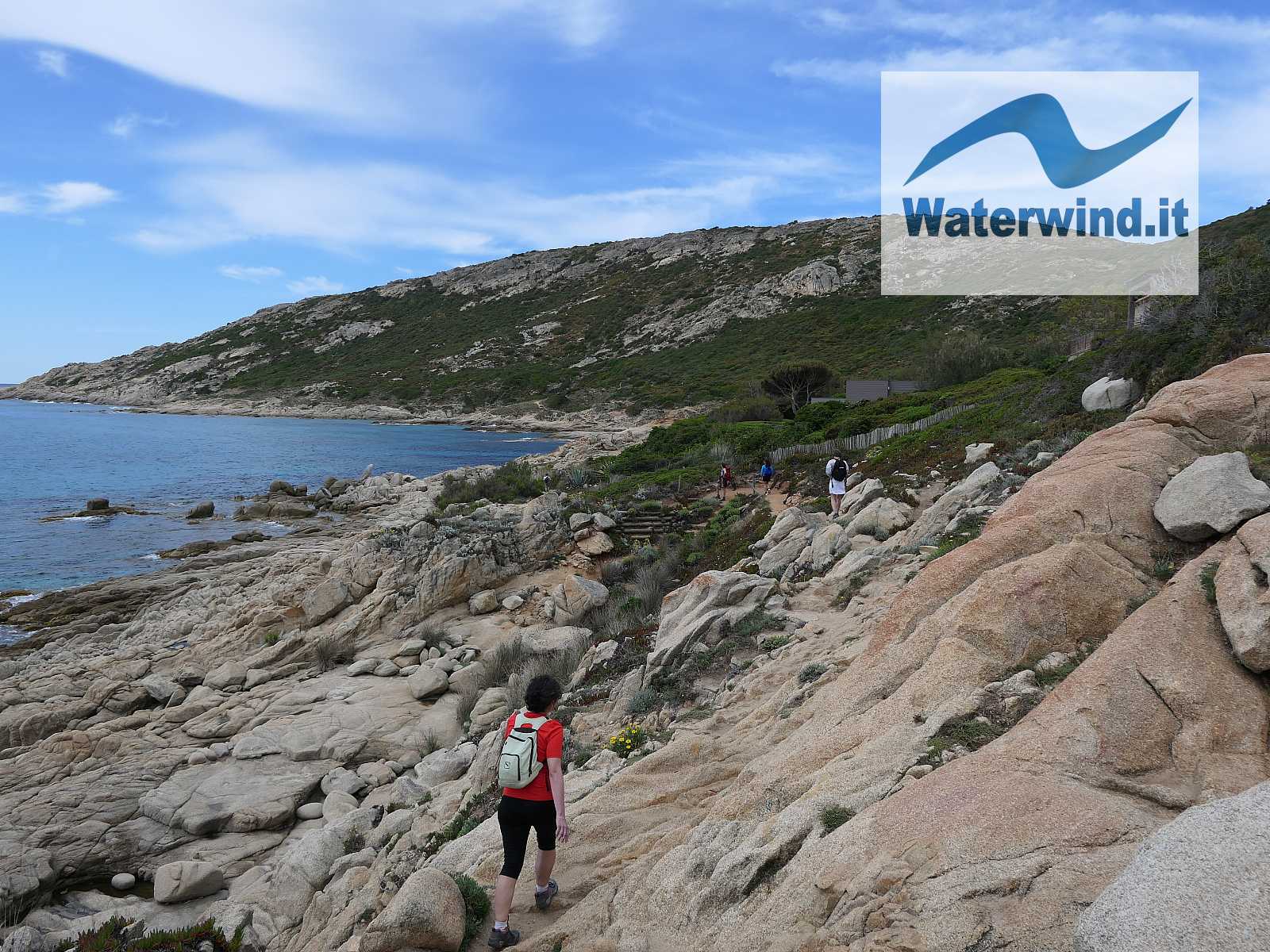
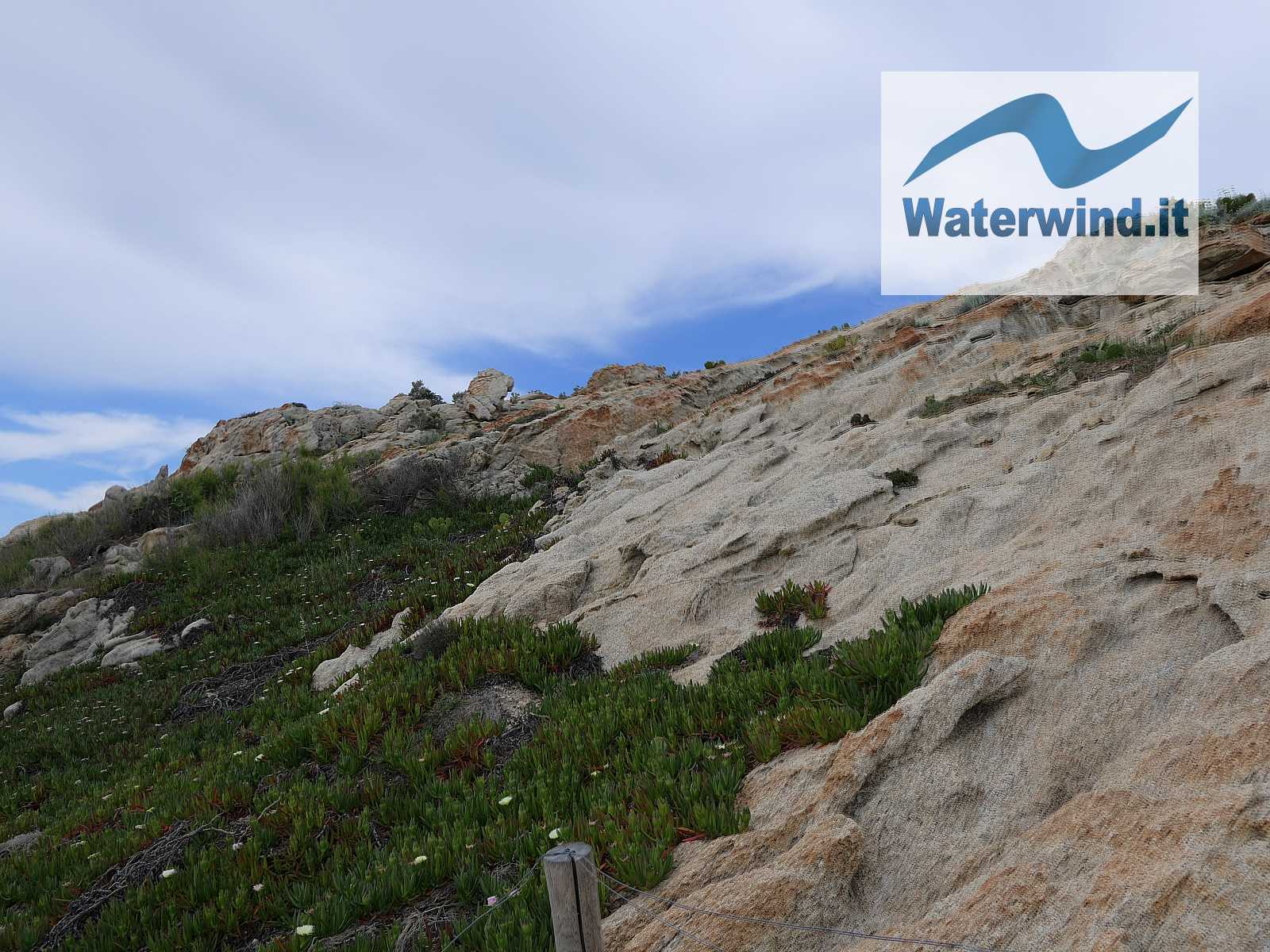
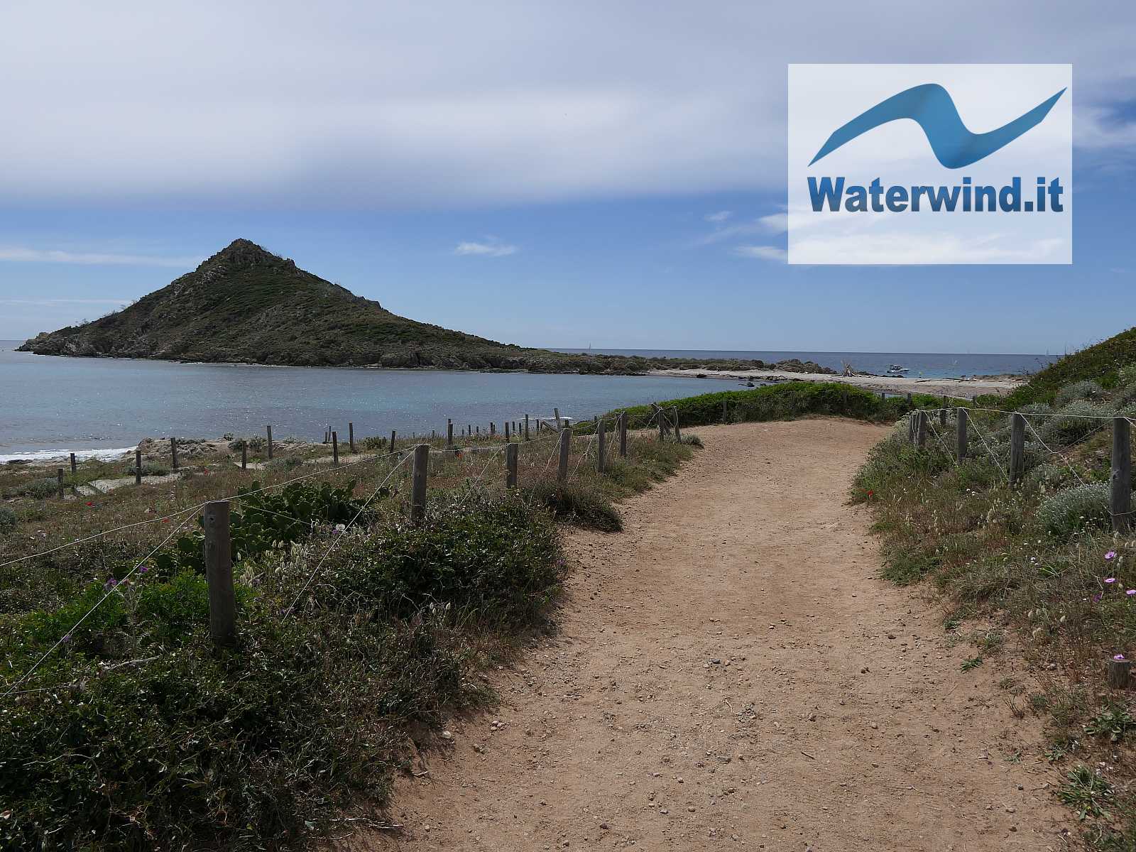
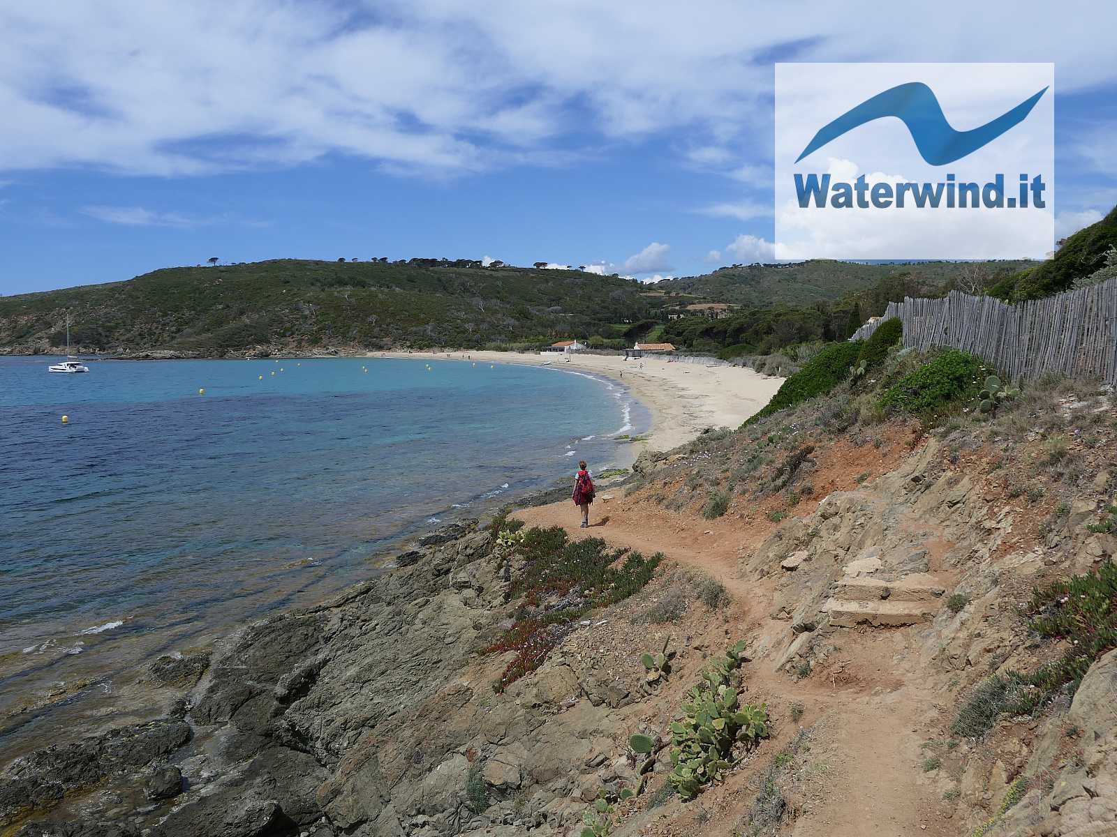
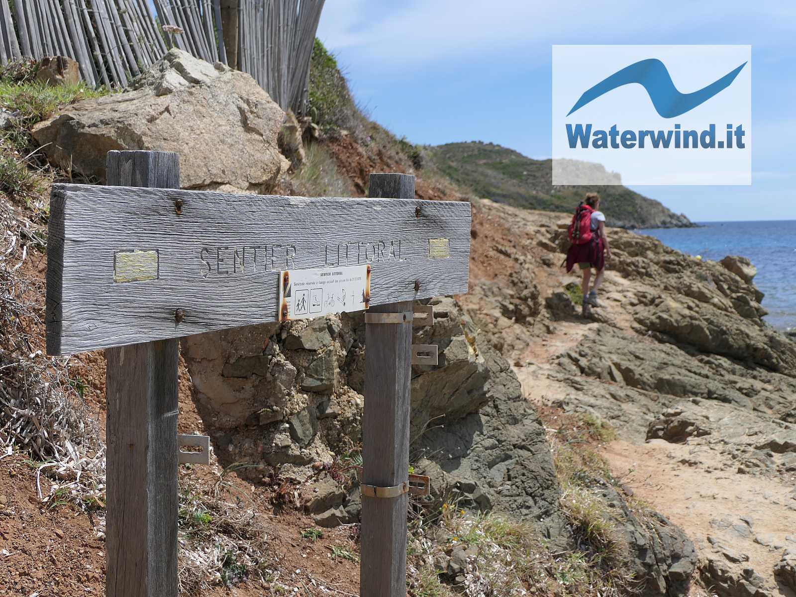
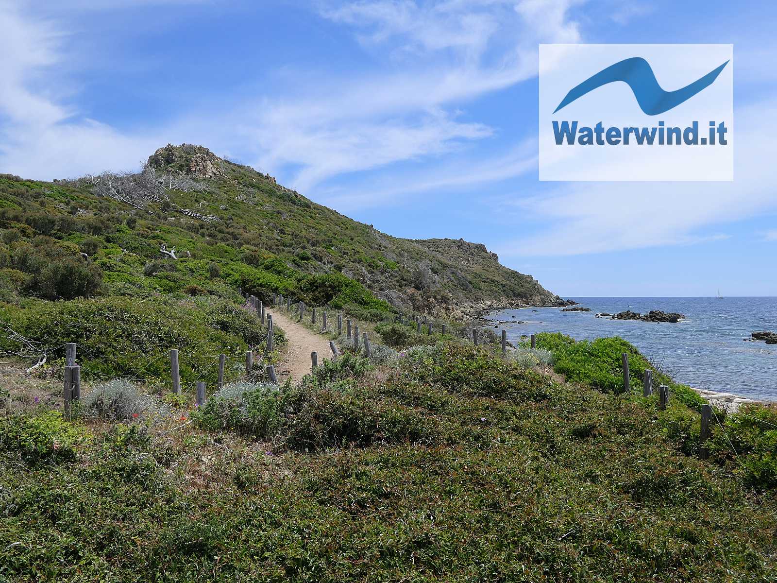
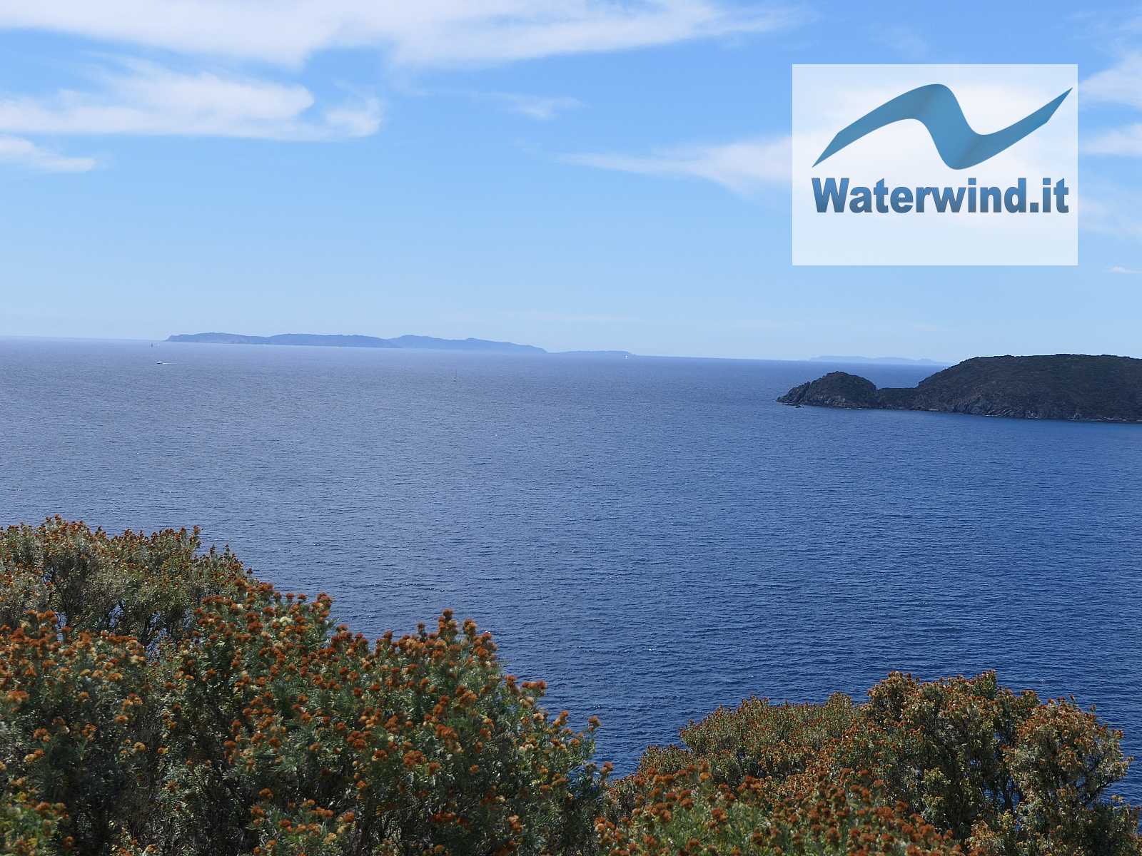
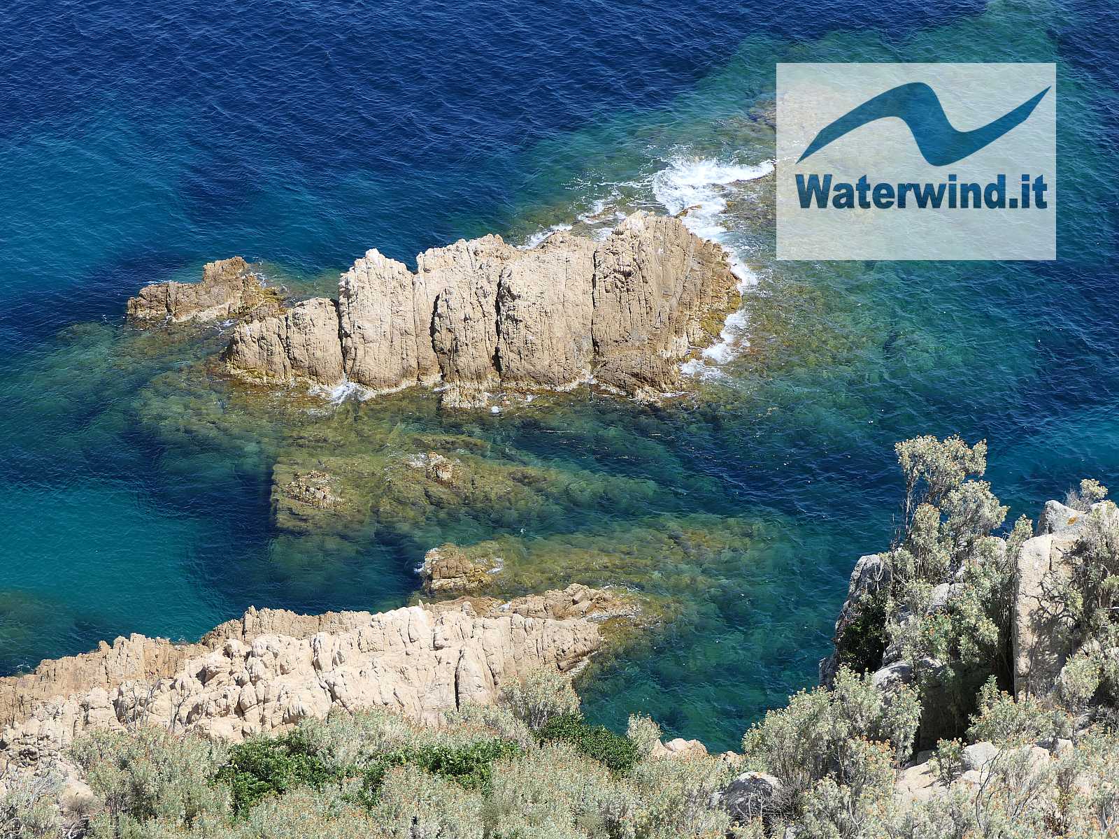
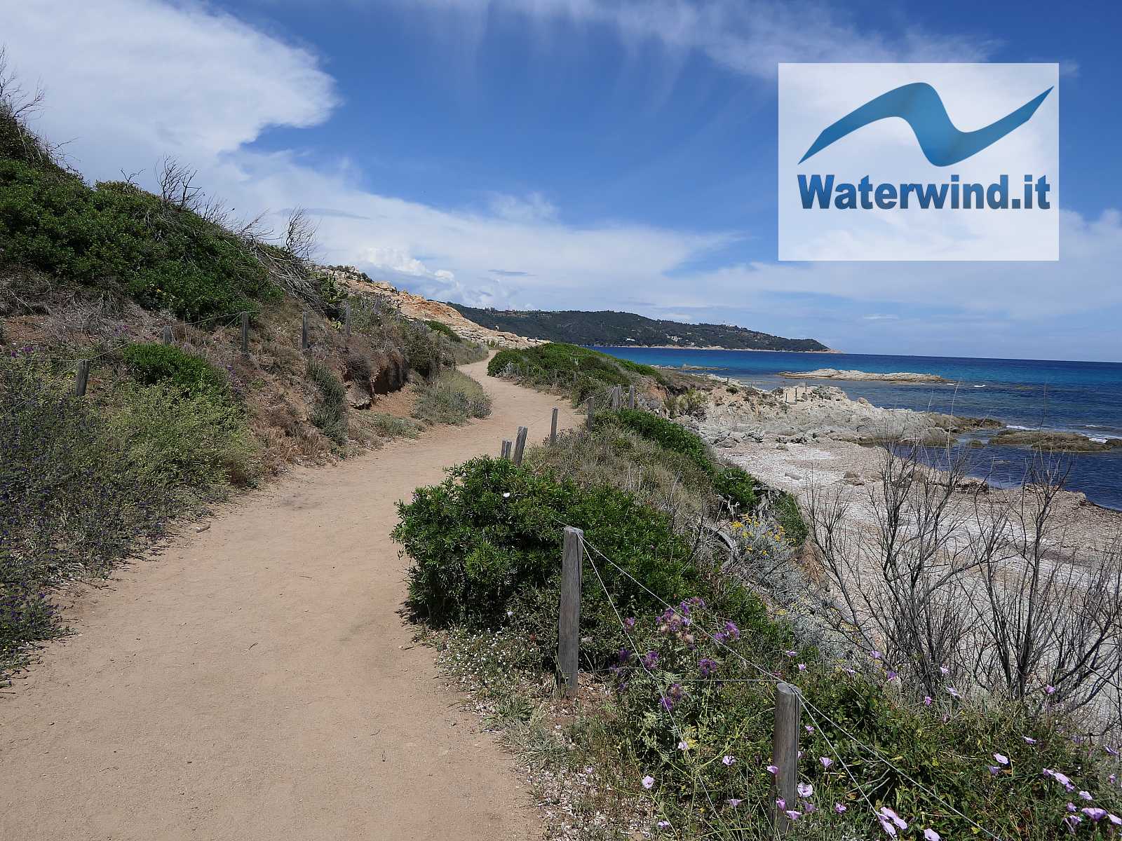
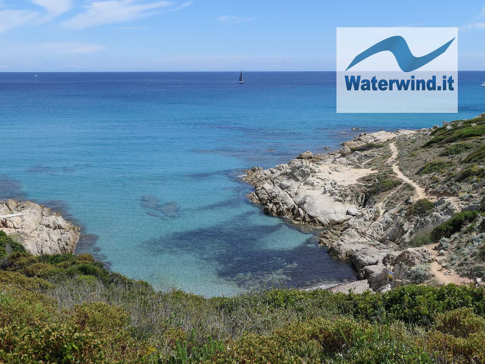
We resist the temptations of a swim in L'Escalet, and we proceed on the path, initially quite easy. Soon, however, we have to overcome some rocky stretches, to get around the promontory south of the beach.
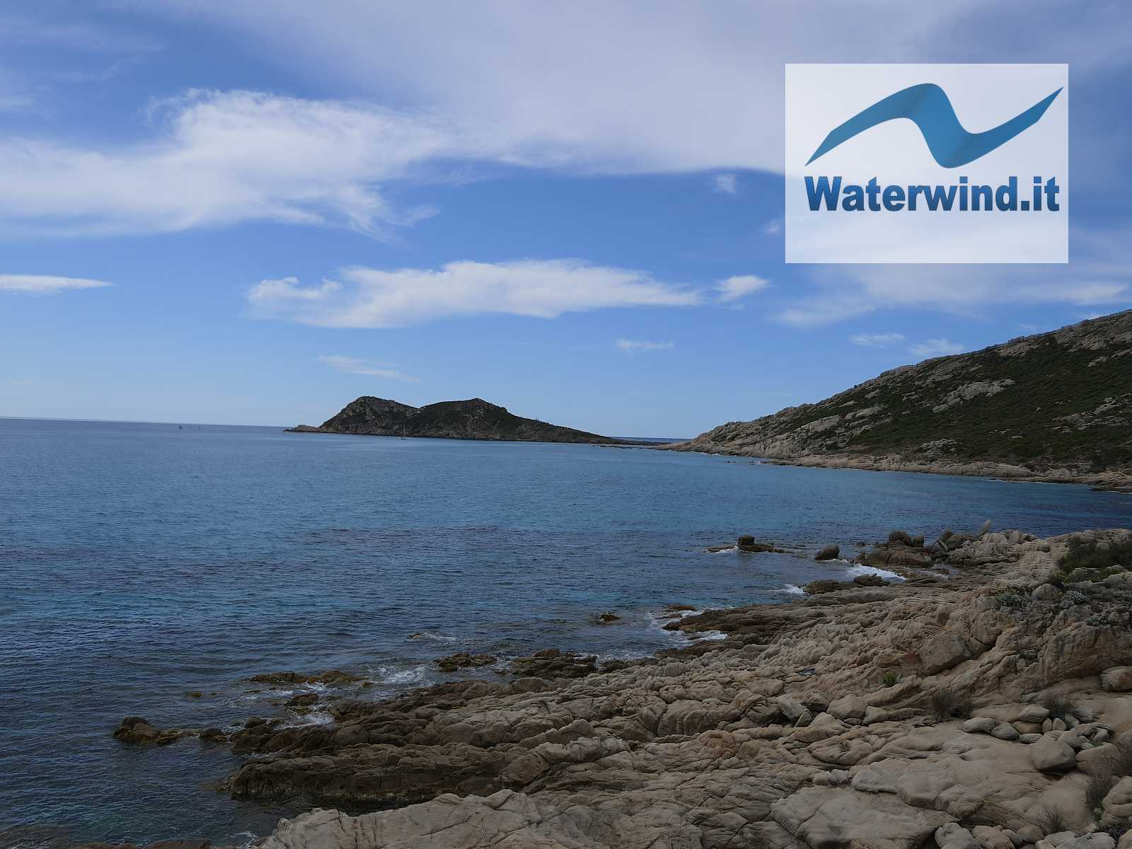
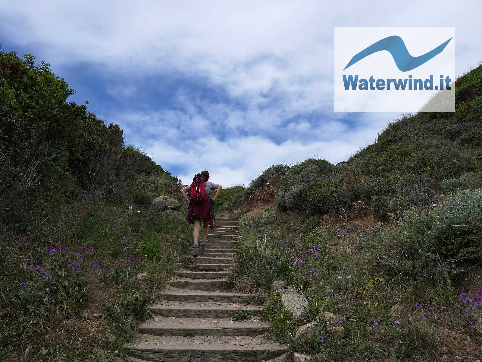
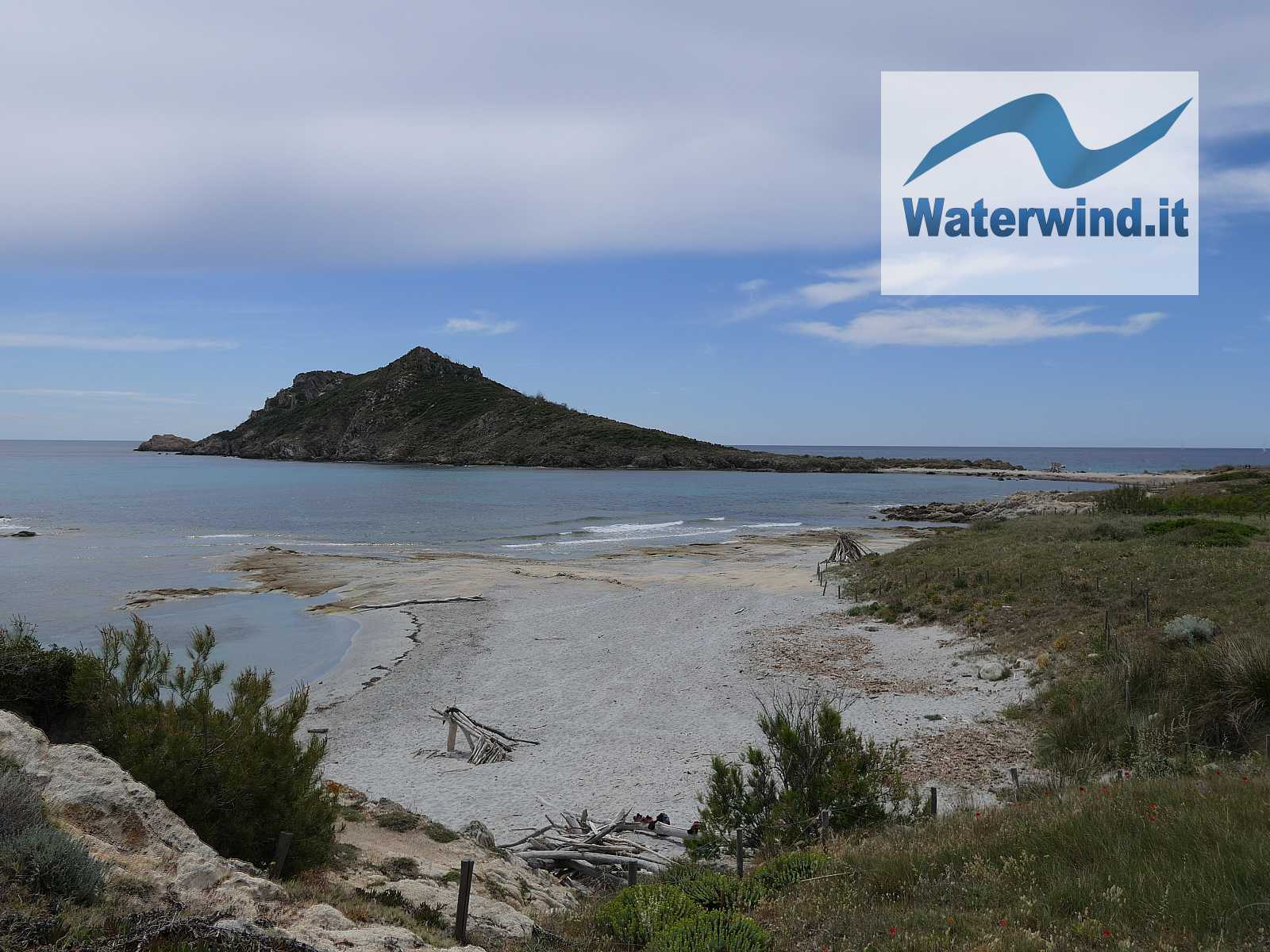
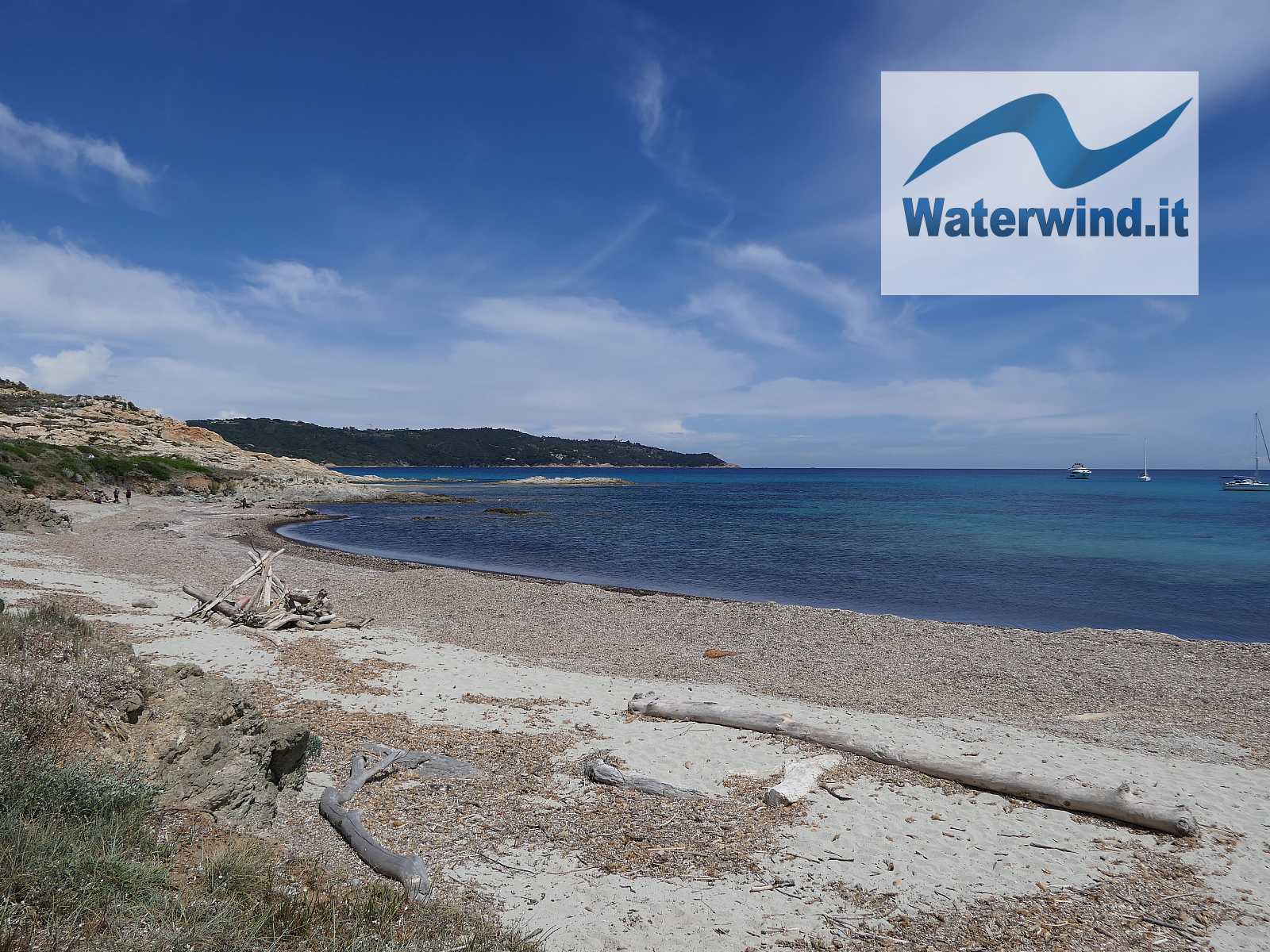
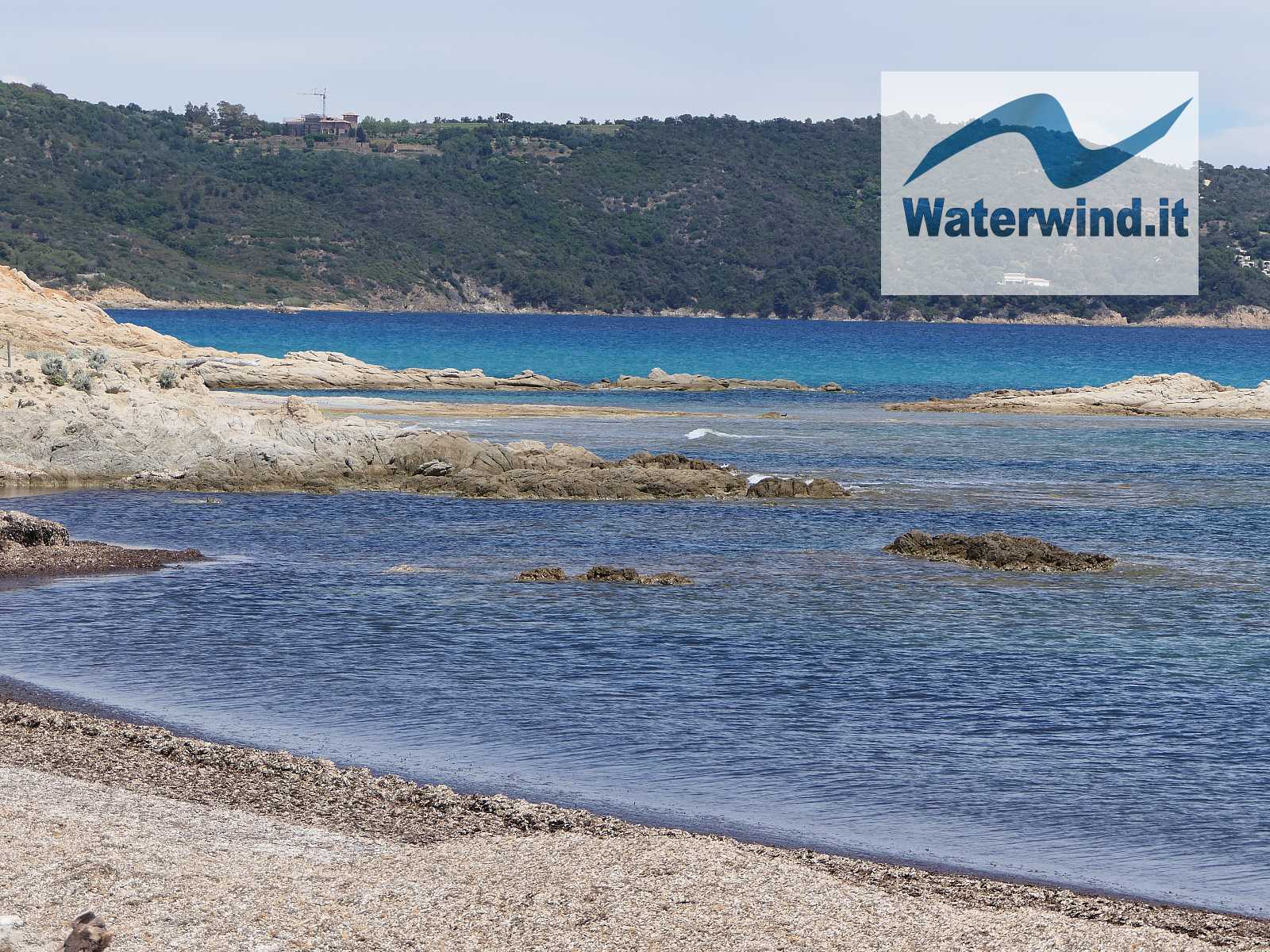
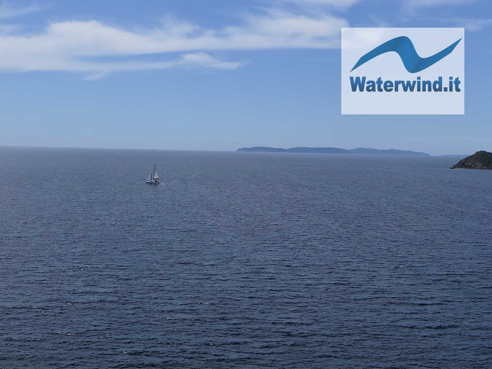
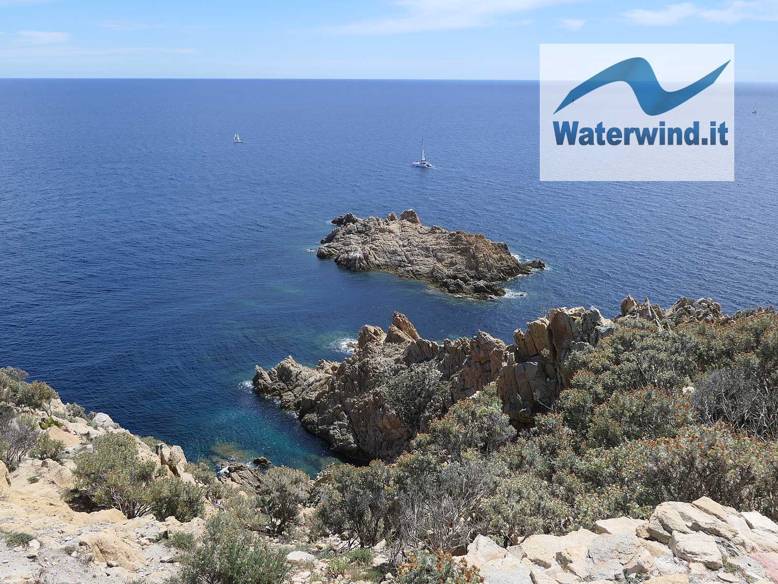
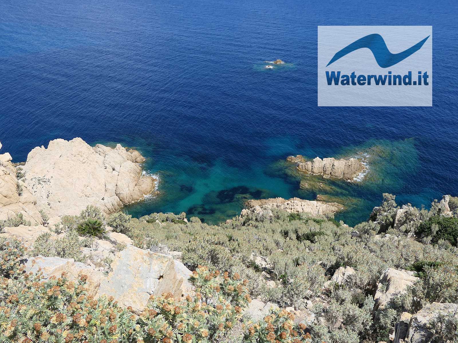
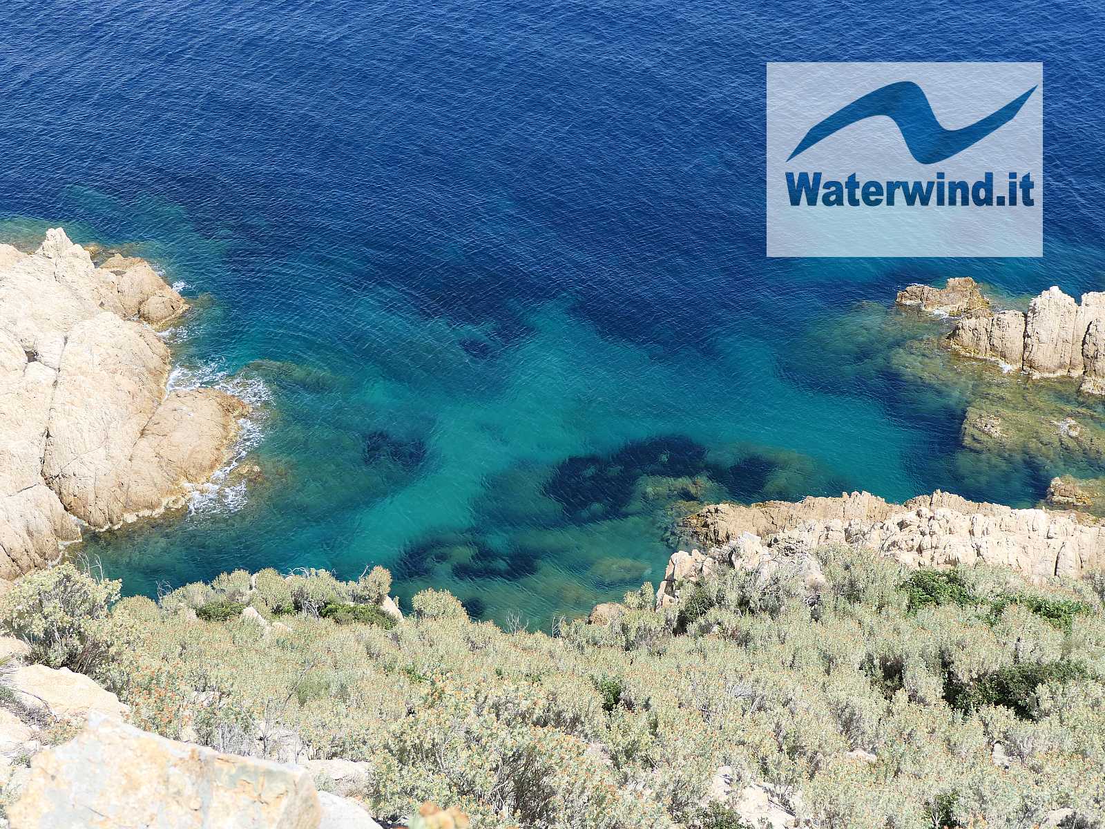
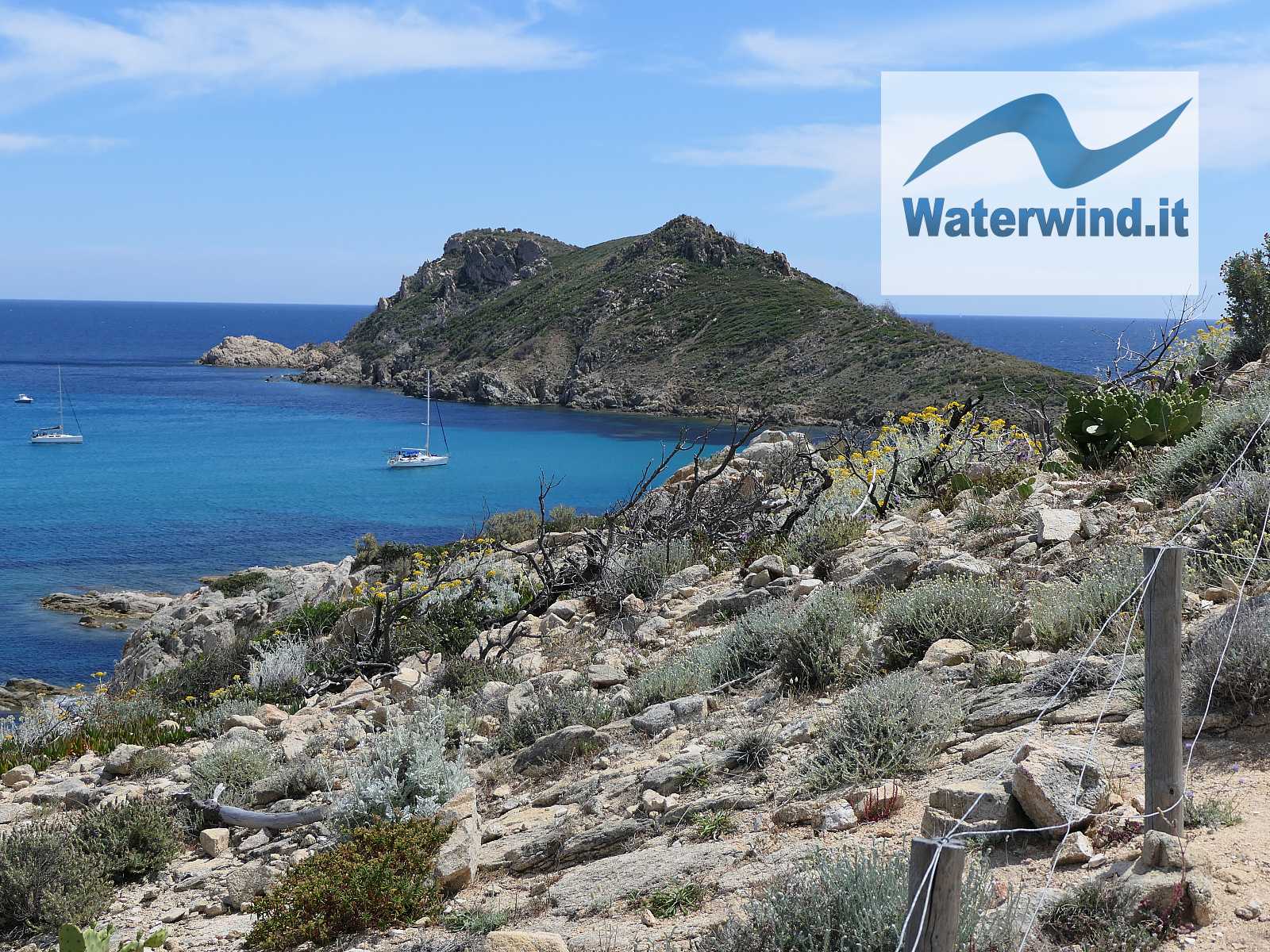
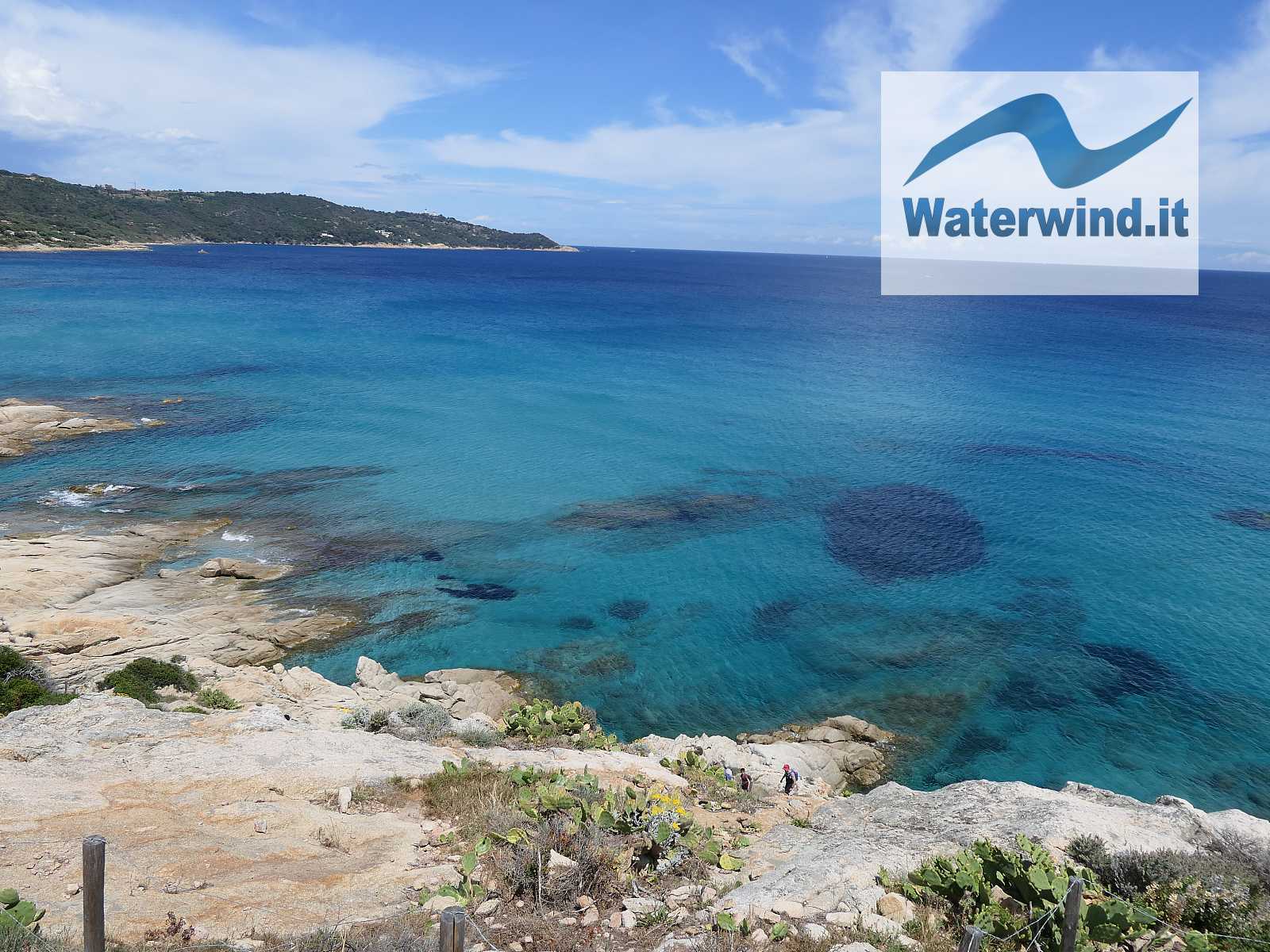
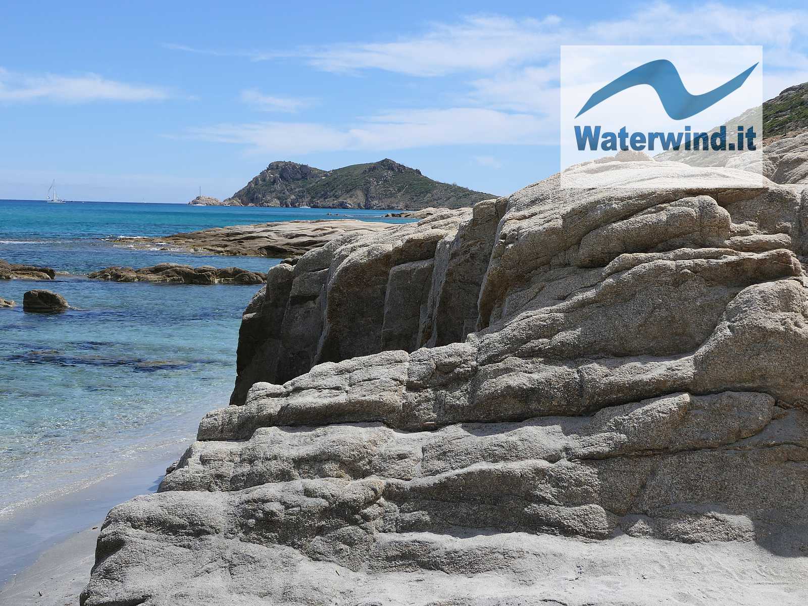
Already after having gone around this tip, you begin to glimpse Cap Taillat, and the stretch of coast, North of the Cape, crossed by the itinerary, characterized by some enchanting little beaches. After the first, and after a wooden stairway, about 1 km from the starting point (see map), you reach an important crossroads: going down to the left, you follow the most impervious track, which remains on the coast and will make you climb, a bit like goats, on the rocks by the sea; taking a right at the crossroads, you follow a wider and more regular path, which, moreover, allows you to admire the sea and the small inlets from above, and to appreciate the beautiful shades of colour. We, on the outward walking, followed the low track, and on the way back the high one. Keep in mind that the low track, even if it doesn't have a significant linear development, leads you to proceed more slowly.
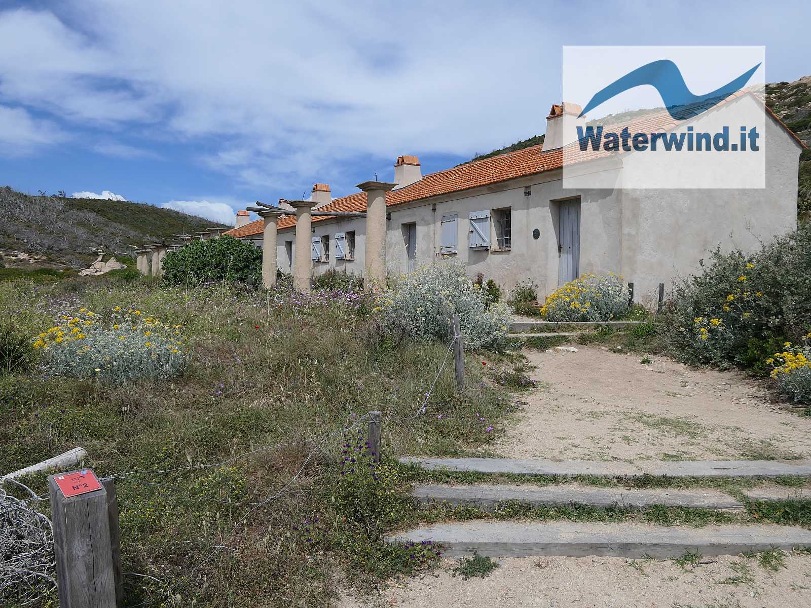
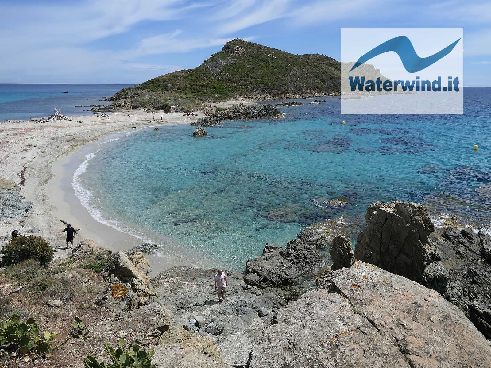
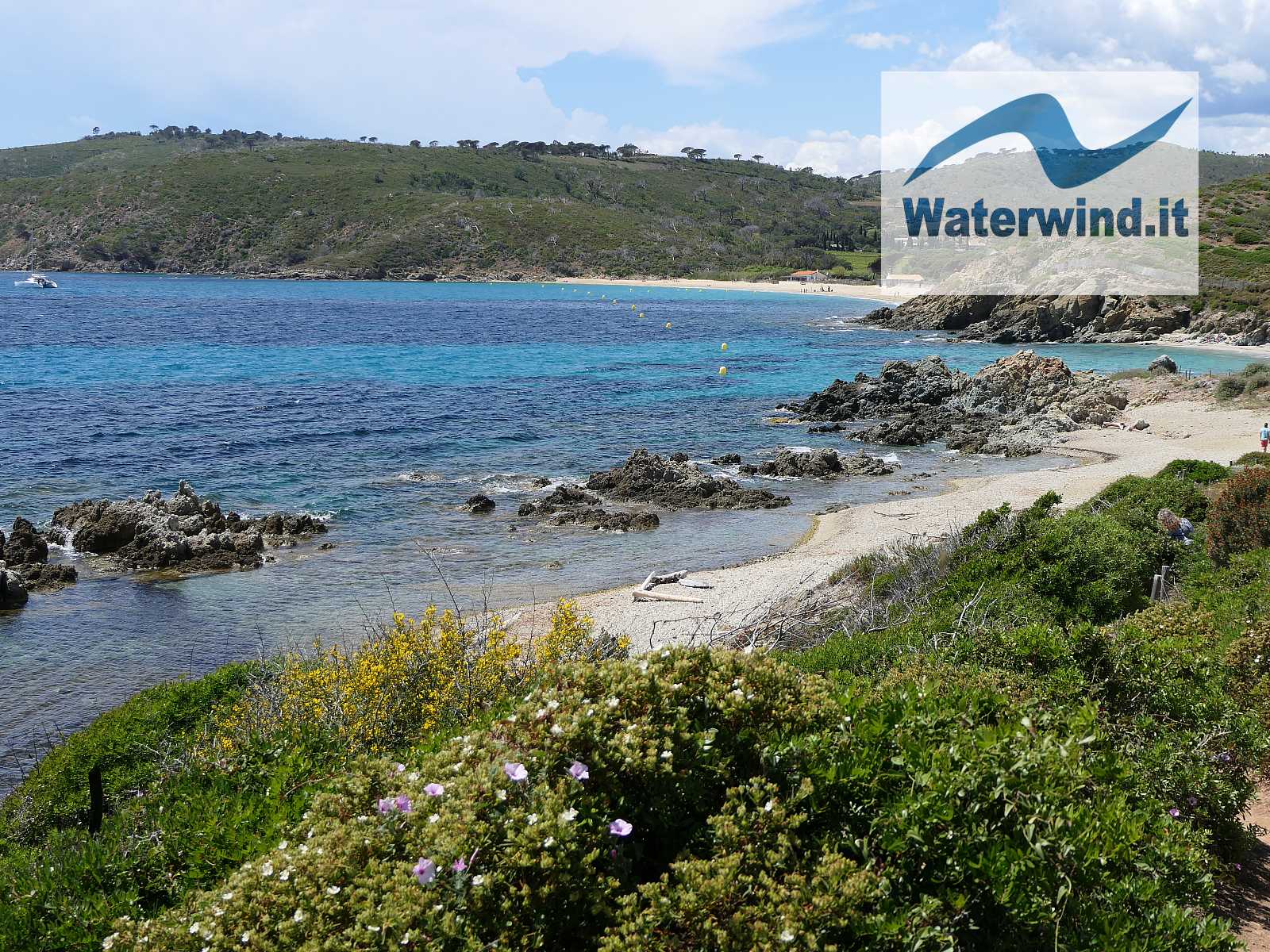
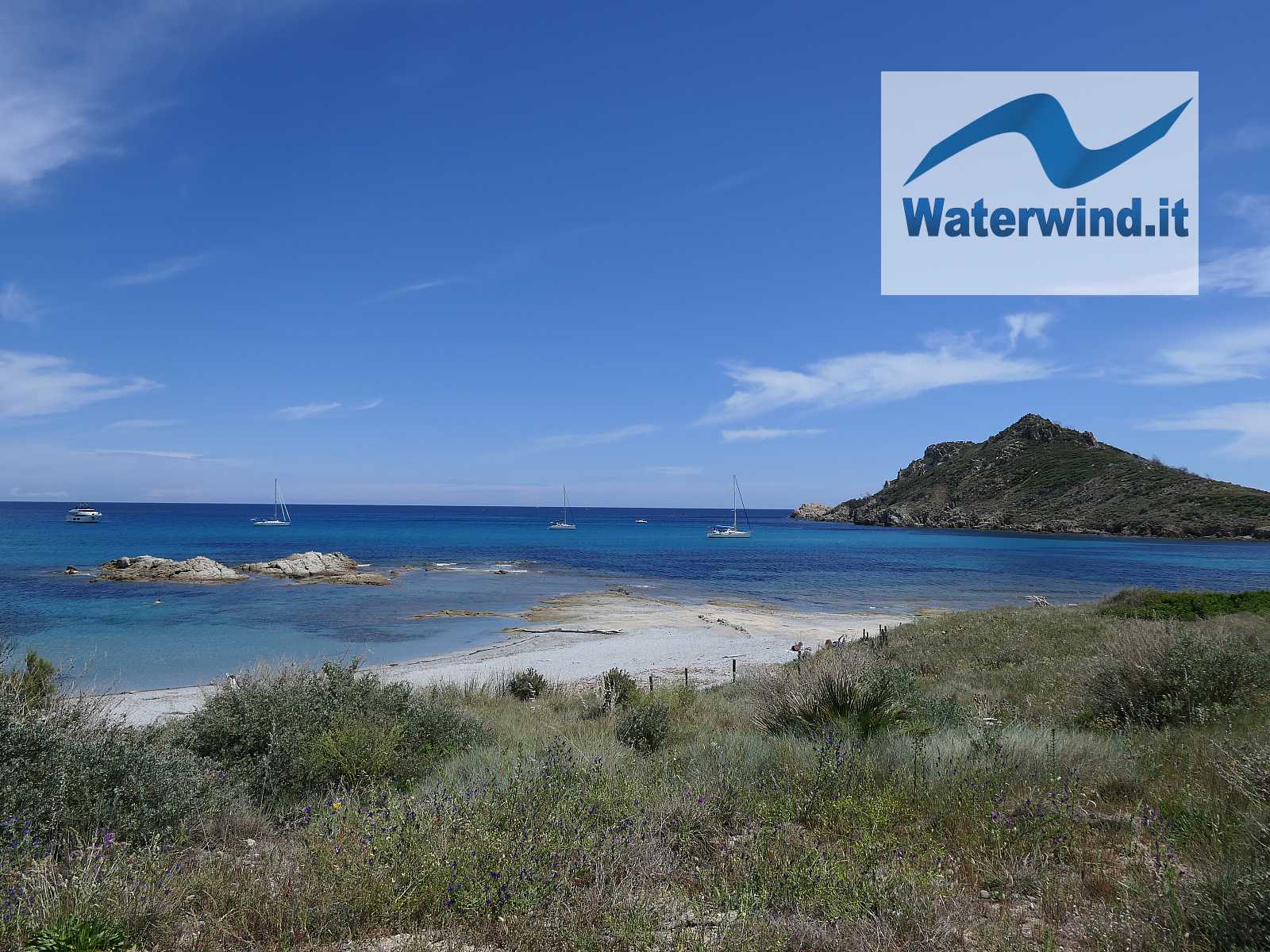
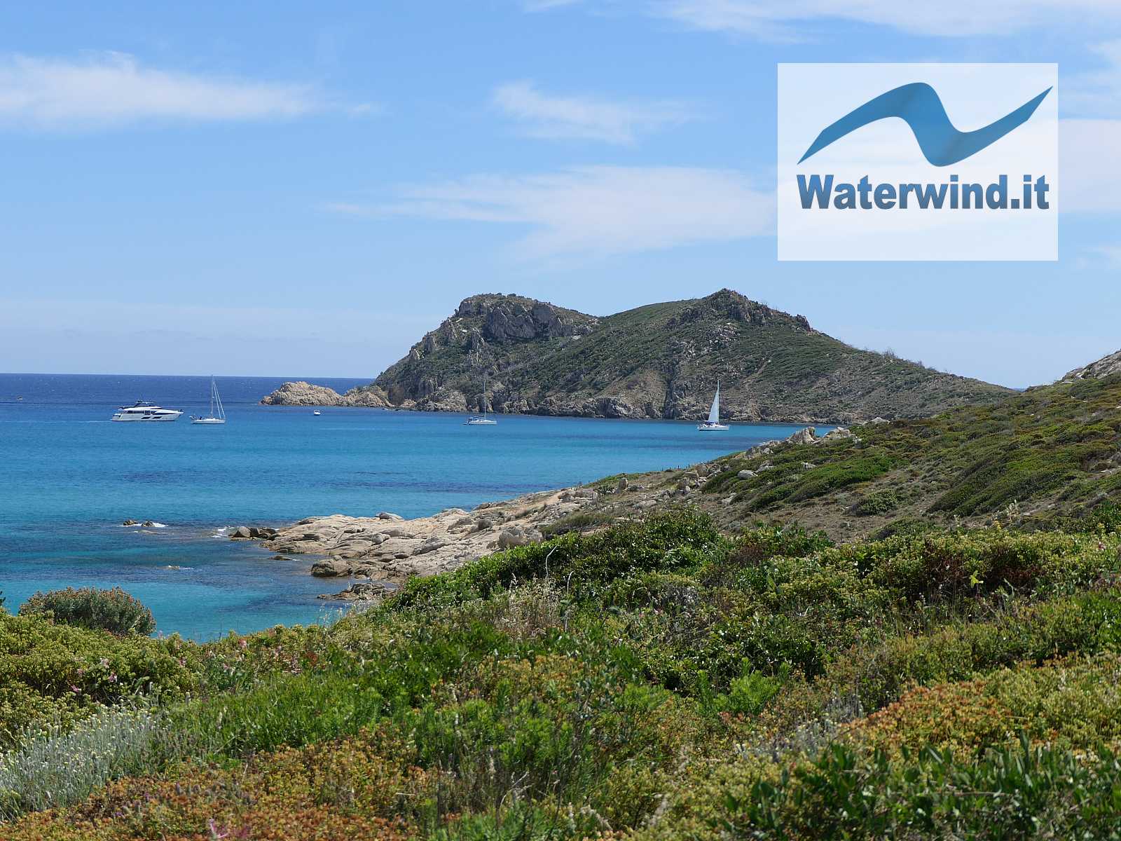
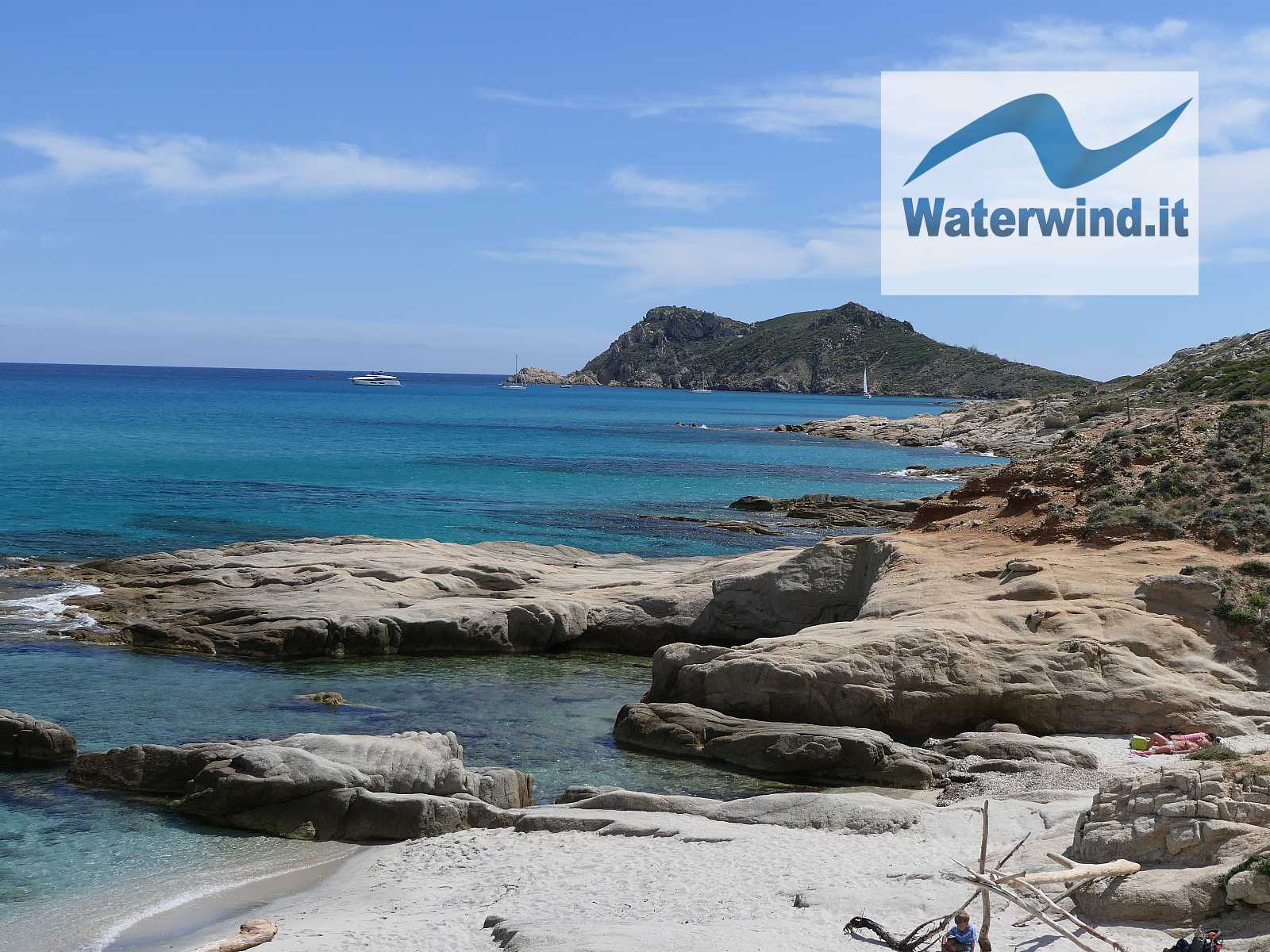
After 2.5 km (about 45 minutes), you first arrive at a beautiful rural building opposite which is the magnificent Plage de la Douane, and then at the strip of sand that connects the relief of Cap Taillat to the coast. If you are lucky enough to enjoy a beautiful sunny day, the scene will be wonderful, full of light and colour.
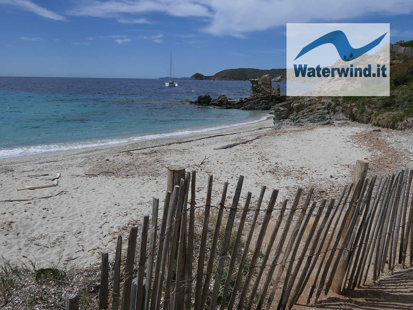
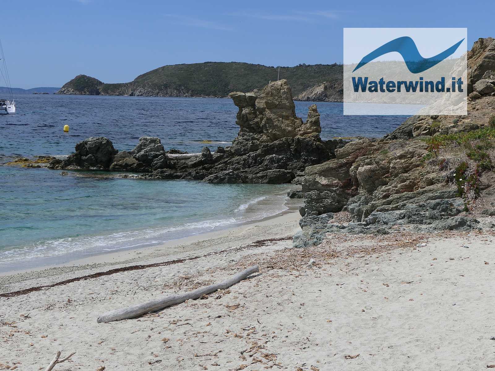
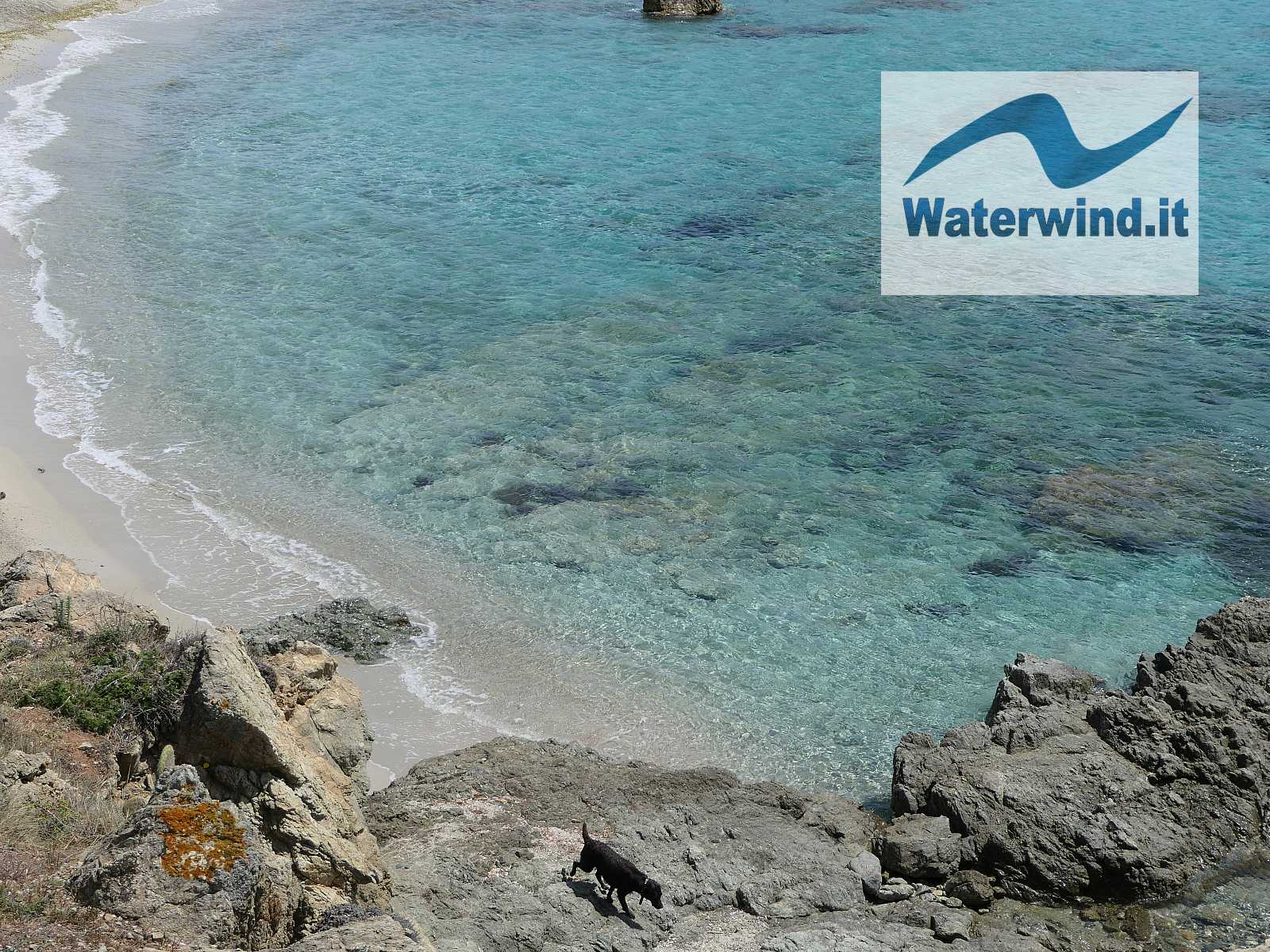
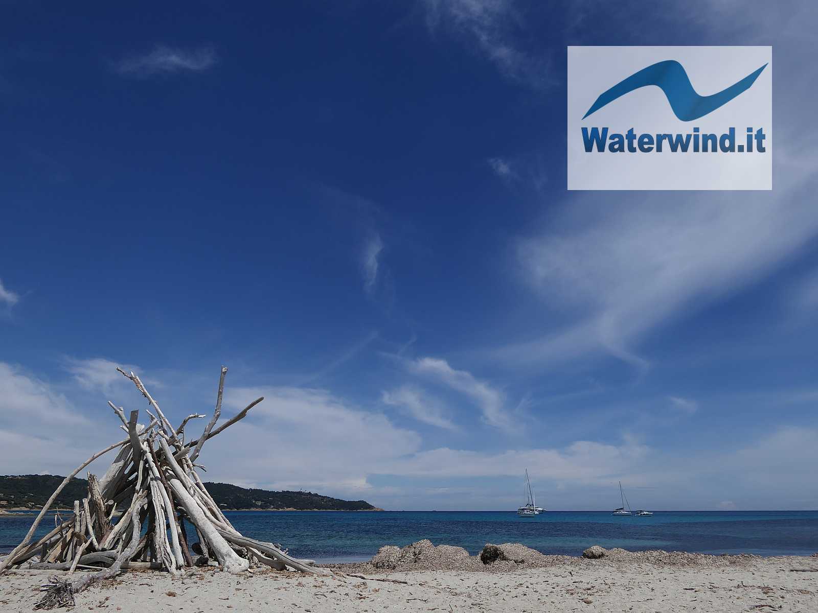
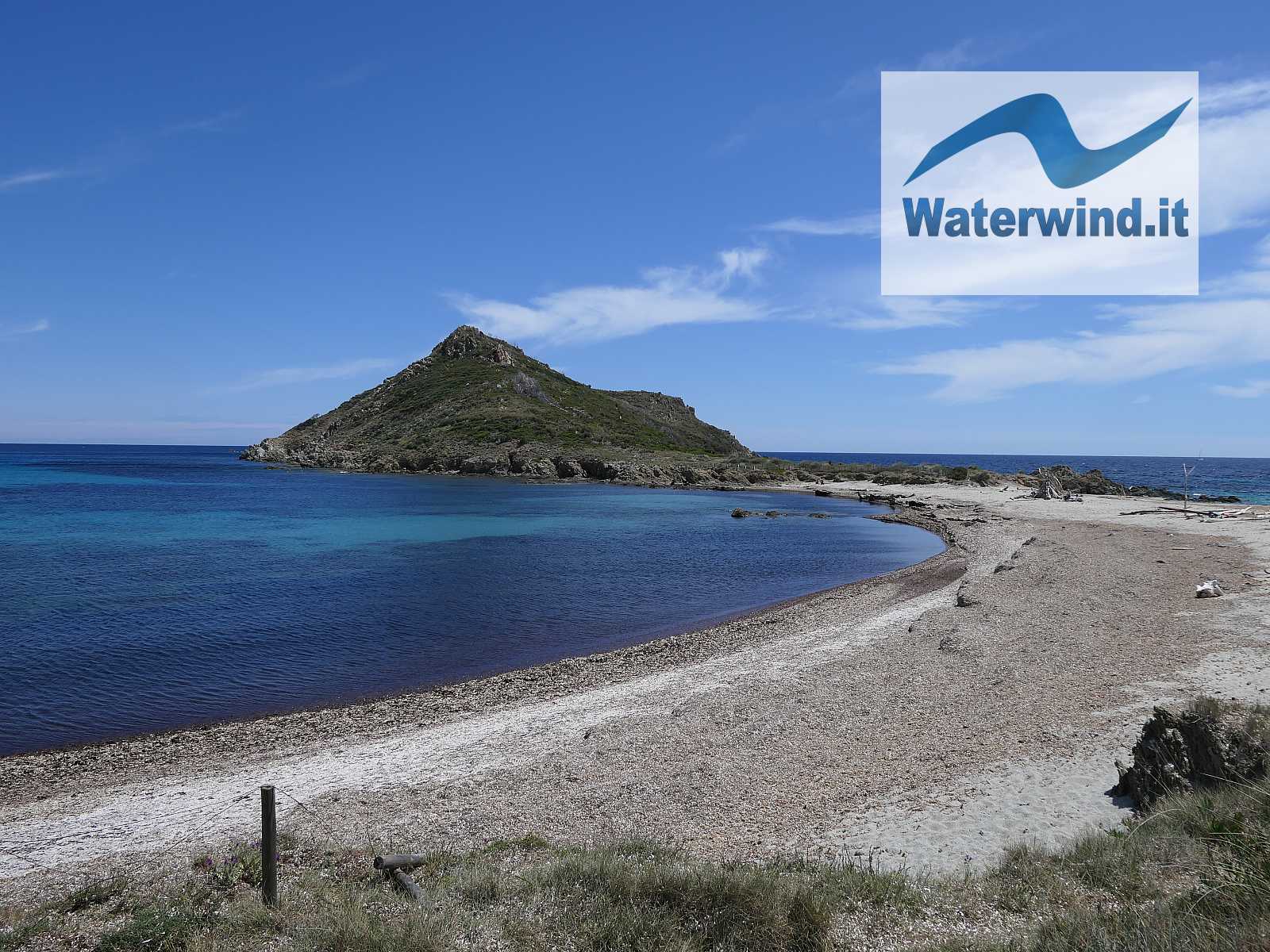
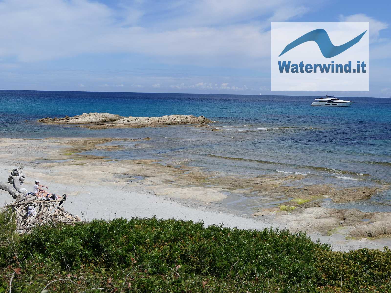
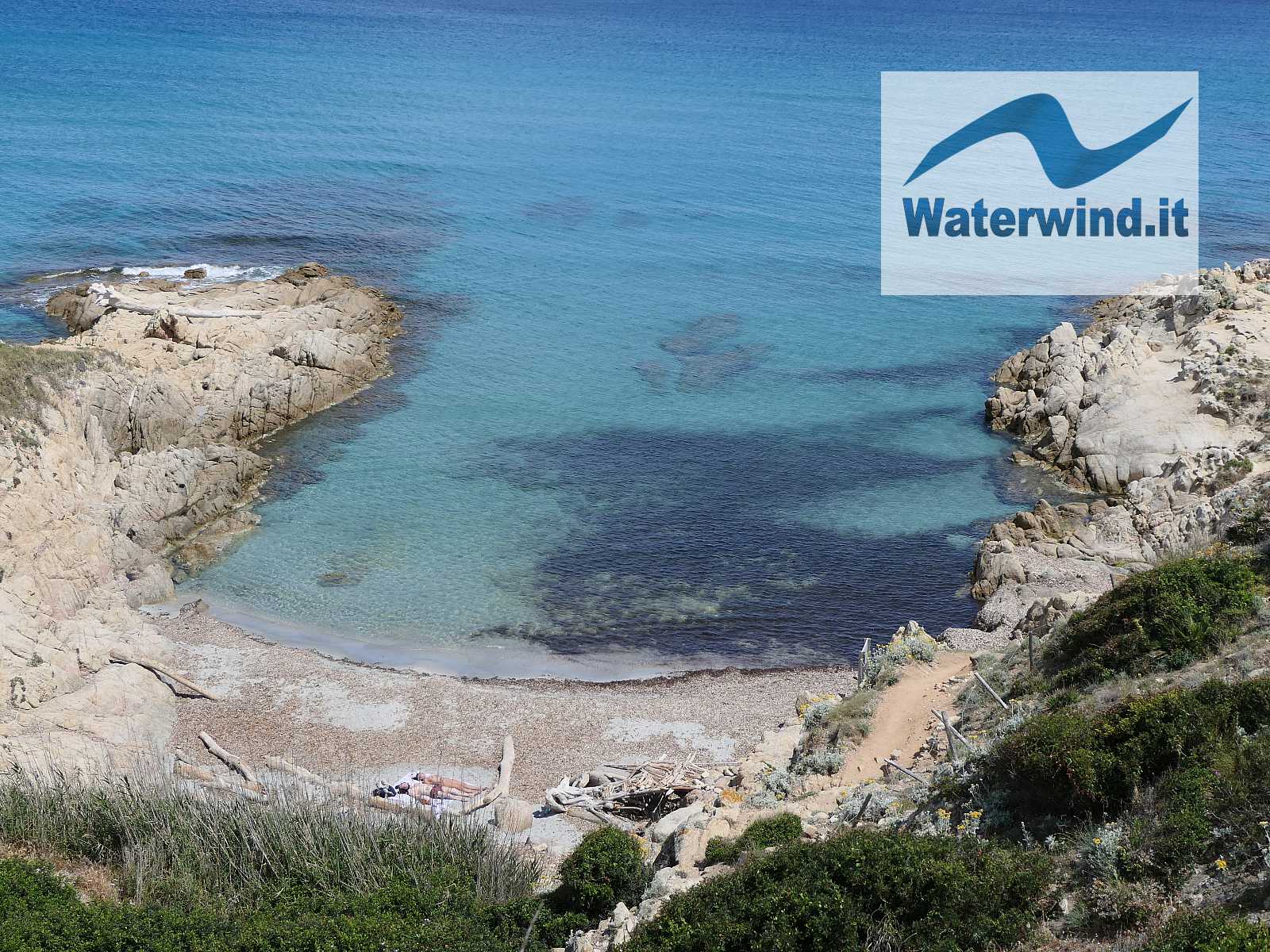
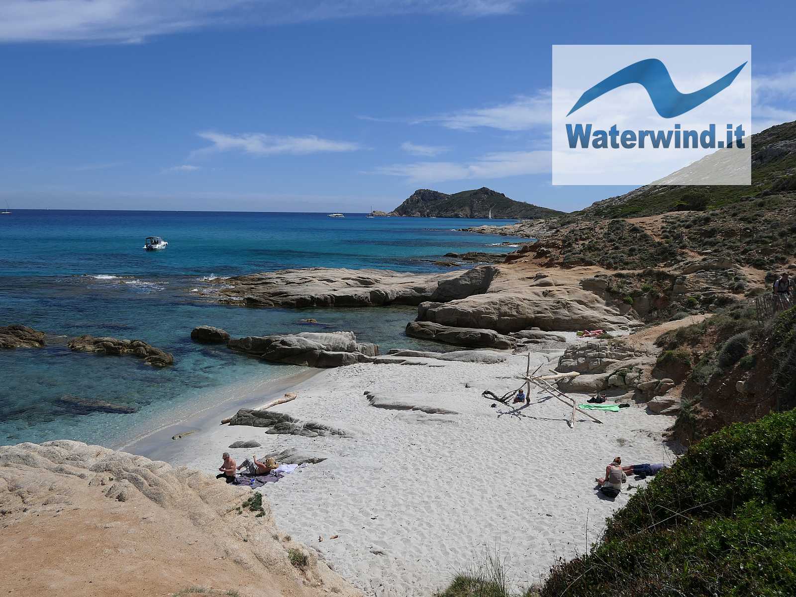
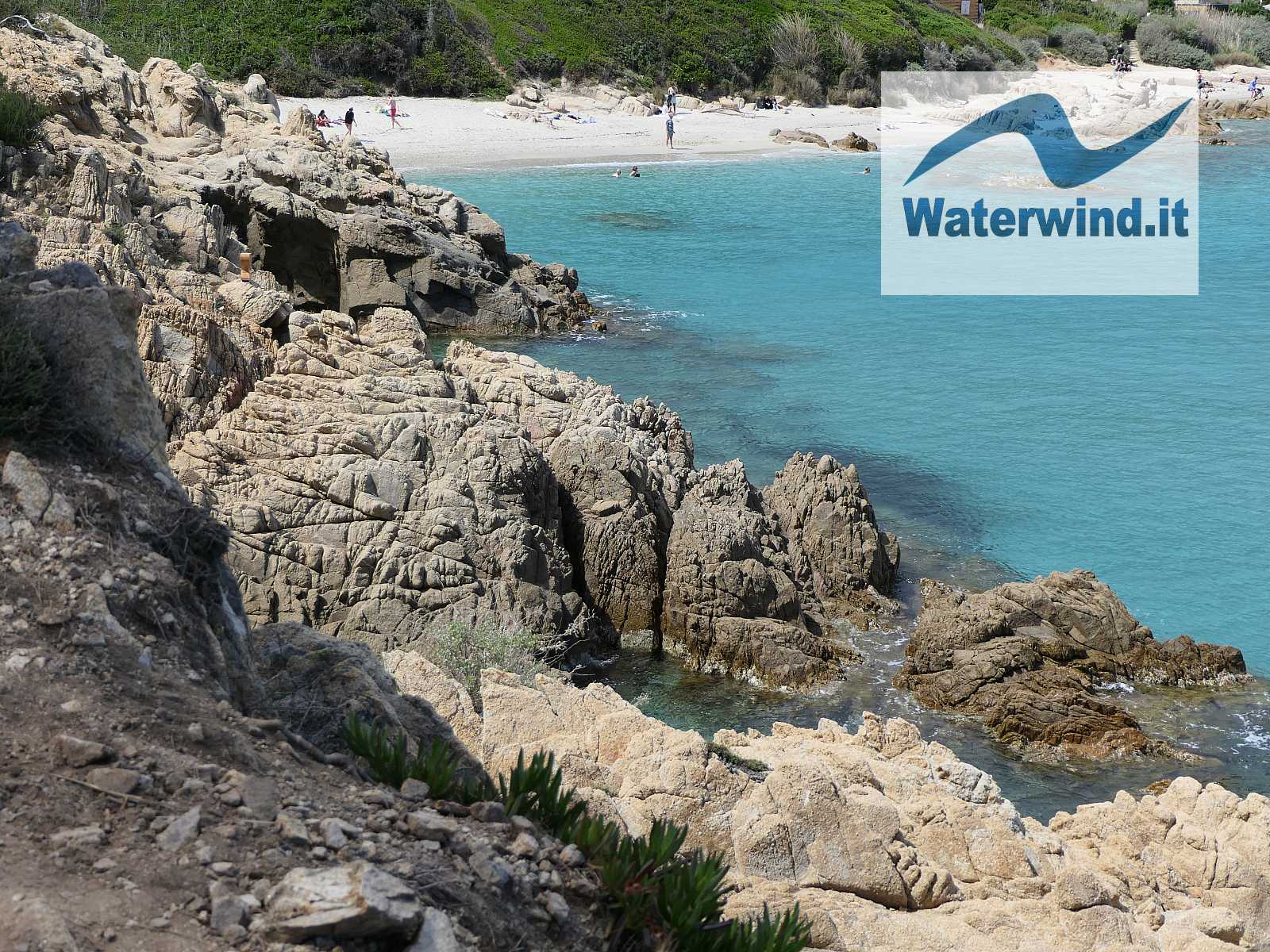
The two small beaches of Cap Taillat (the one facing SW, and the other facing NE) are enchanting: the sea will be choppy or flat, depending on the wind direction. Some wooden trunks, whitened by the sun and the salt, have been positioned to create some shelters and protect bathers/trekkers from the summer sun.
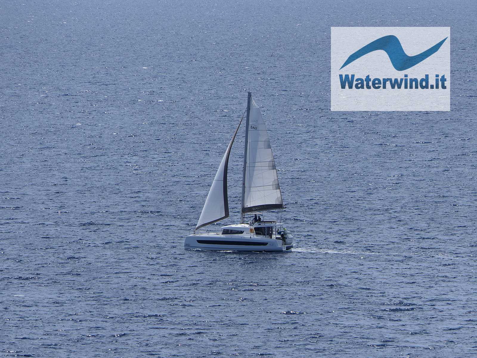
But the beautiful beaches don't end there. Just turn the corner, and proceed a little further west, past the rocky outcrop at the southernmost beach of Cap Taillat, and the view opens onto the beautiful, relatively long, Plage de Briande. The bay in front generally hosts some boats at anchor. The place is ideal for a packed lunch, and perhaps for a dip (but Plage de la Douane is also fantastic for a refreshing dip).


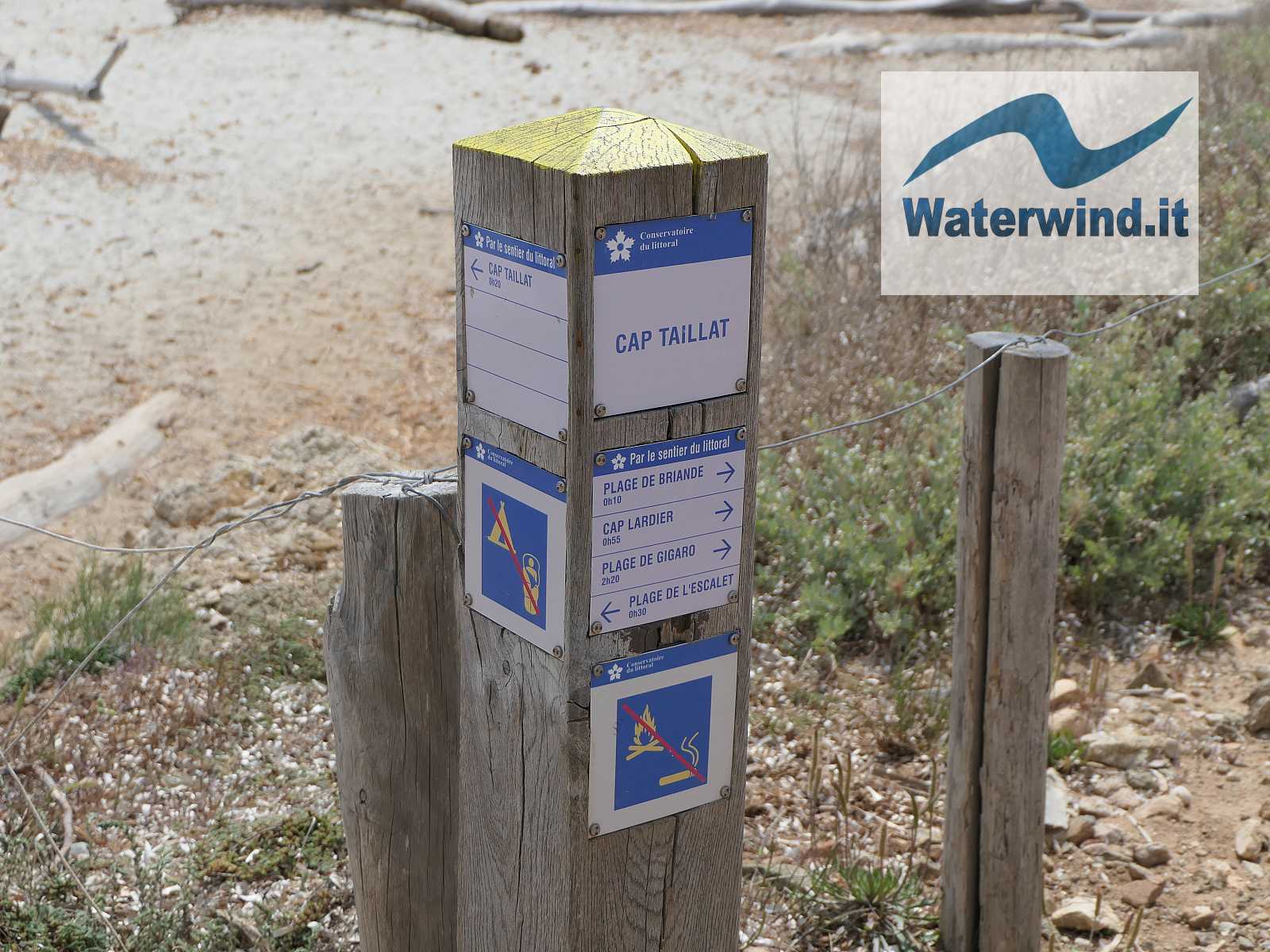
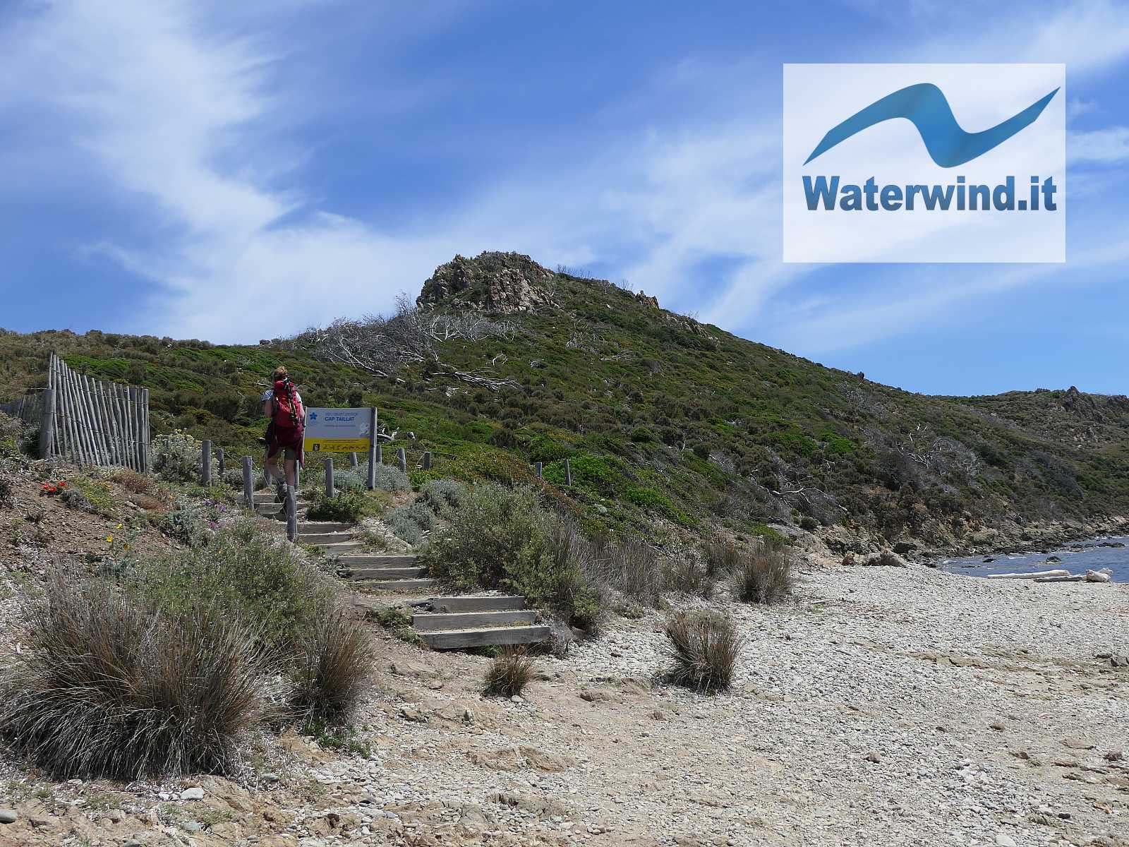
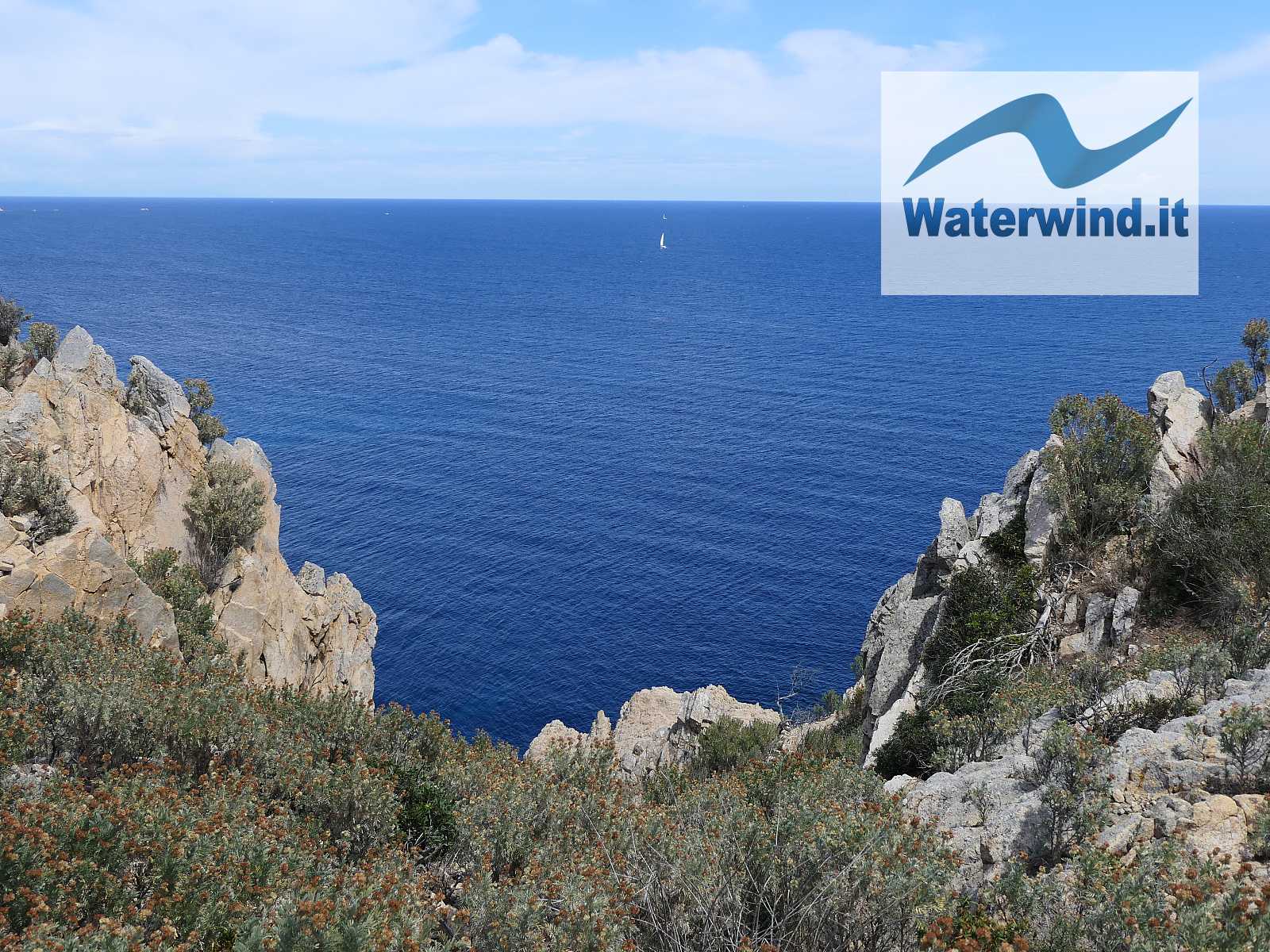
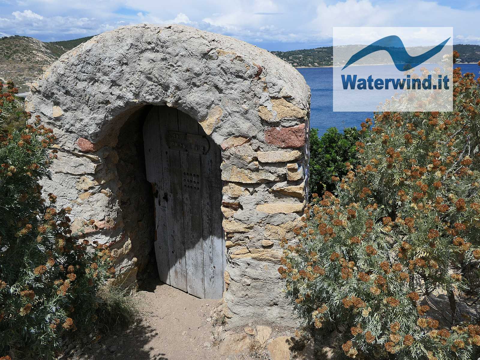
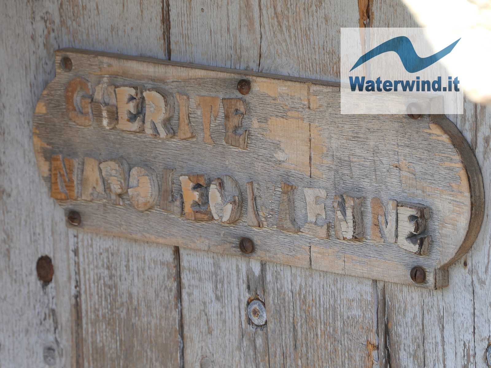
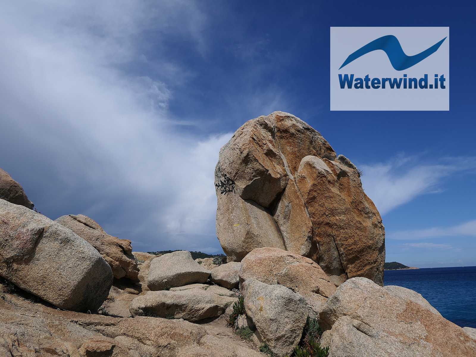
Before returning to L'Escalet, the detour to climb to the top of Cap Taillat is a must (see our map). Cross the strip of sand that separates it from the coast, climb some wooden ladders, and, with a slightly uphill path, you will briefly find yourself at the top. Shortly before, a Napoleonic sentry box testifies and recounts the days of some unfortunate (?) guard who spent his time up here checking the sea surface. From the top, the panorama is incredible, and shows the beautiful cliffs just below, which penetrate the blue sea, and, towards the West, the Iles d'Hyeres (Porquerolles), Port Cros and the Ile du Levant, as well as the Presqu'île de Giens.
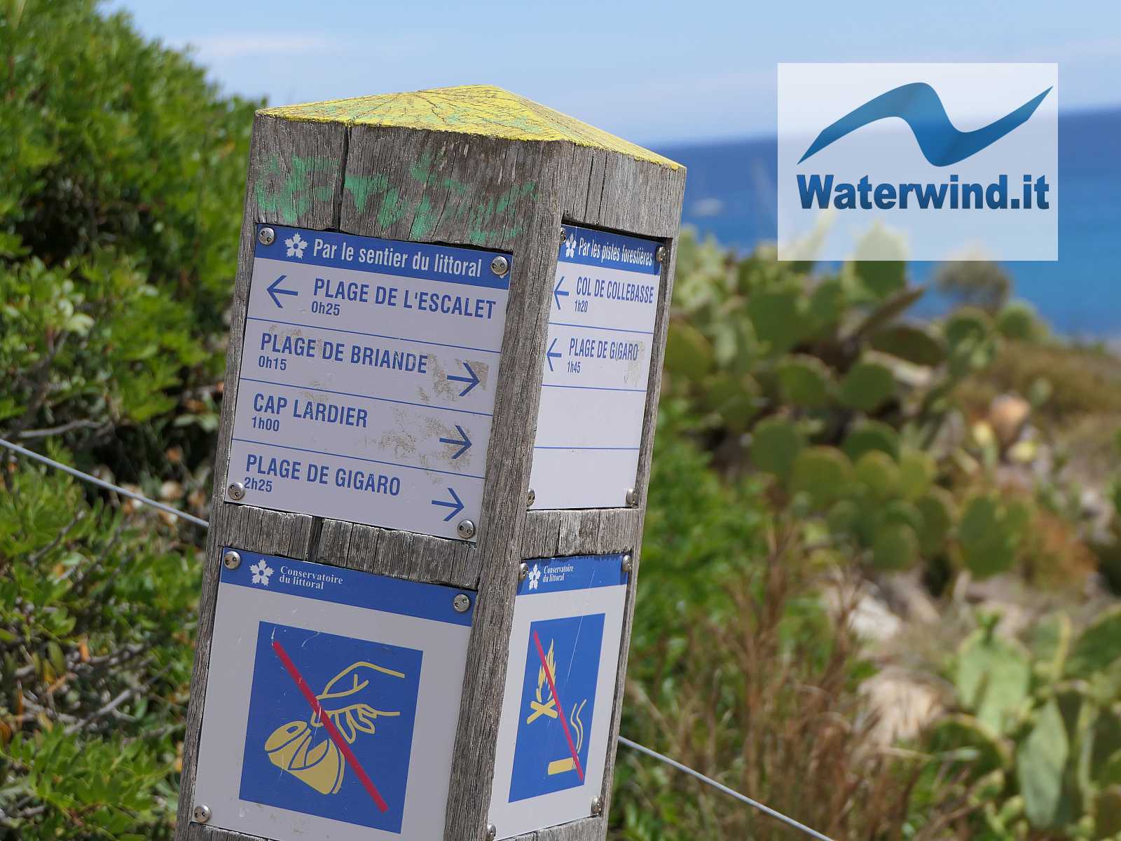
As mentioned, for the return journey we preferred the higher, more comfortable, route. At the rural building, at Plage de la Douane, we then turned left at the crossroads, and went up, following the signs for l'Escalet (and ignoring the signs for Plage de Gigaro - 1 hour and 45 minutes' walk).
After admiring this magnificent stretch of coast again, in about 30 minutes, we returned to the car.
Have a nice walk. Fabio
Below, the complete itinerary slidegallery (or, click here)


Without your Support, Waterwind wouldn't exist. Become our supporter!
If you want to advertise with us, read here, or conctact us.