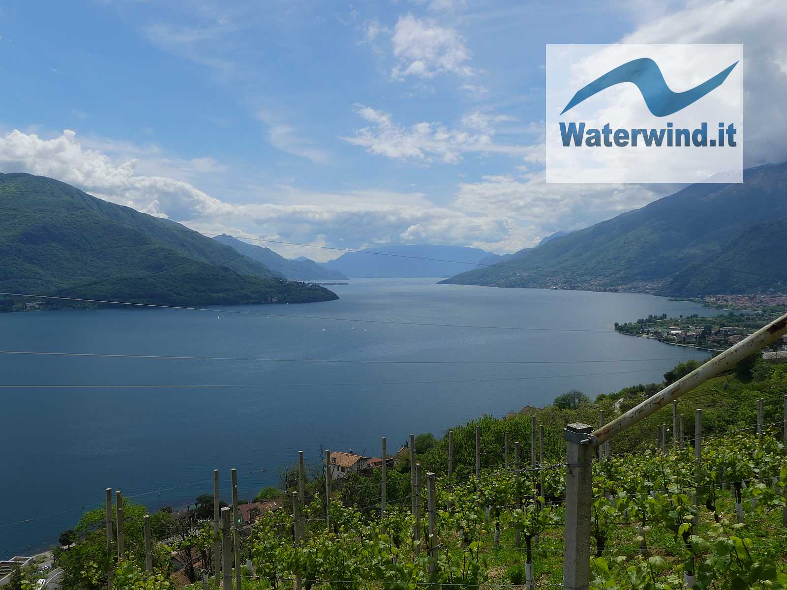
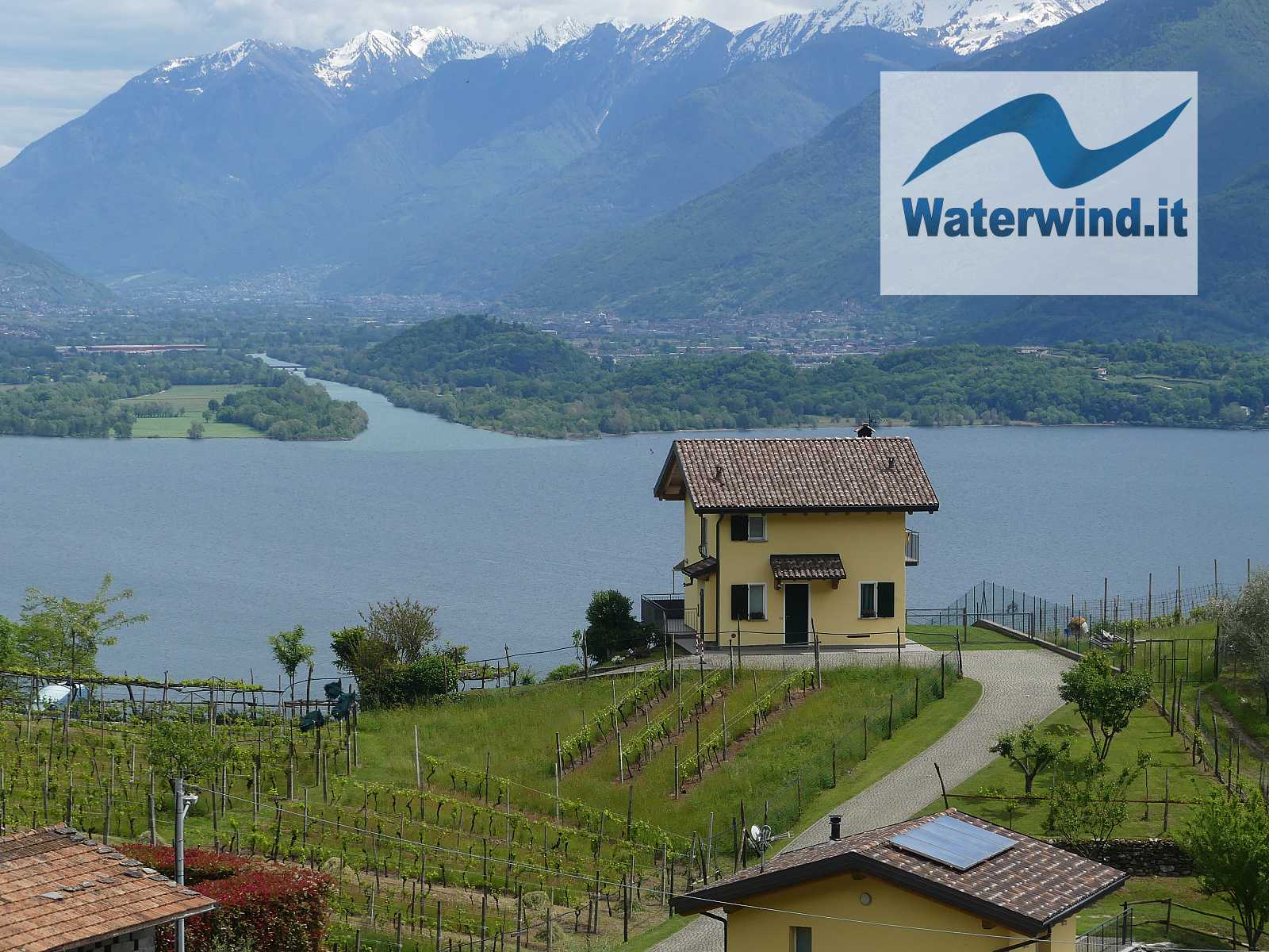
The slopes that fall down to the Lake Como from the mountains around offer many paths for beautiful panoramic walks at medium altitude, which retrace historical routes. This time, we followed a round track from Domaso to Gravedona, in the northern part of the lake.
Trekking: from Domaso to Gravedona, lake Como. Round trip
Domaso is a pretty village on the north west shore of Lake Como. From here, you can go up by car to reach the starting point to climb to one of the many peaks on the watershed with Switzerland, as we have done many times; or you can simply start on foot directly from the village to go up to the hamlets halfway up the coast, joined by pleasant connecting paths.
To start this walk, you can park your car comfortably in Via Mulini in Domaso (see our map below - approximately 250 m above sea level). Once you have put on your boots, you continue west along the road, cross the Roman stone bridge over the Livo stream, and begin to climb a steep mule track that cuts through the bends of the asphalt road, and passes near the Sorsasso farm (which produces local wine, and offers a refreshment point). You reach the beautiful hamlet of Gaggio, which is worth wandering around for a bit.
The view over the northern part of Lake Como, nestled between the looming mass of Mount Legnone, and the mountains of Chiavenna Valley, immediately begins to be interesting. Just beyond this hamlet, there is the beautiful reality of camping Colle Vento, which offers beautiful pitches overlooking the lake, in the middle of the vineyards. To try!
After passing the hamlet og Gaggio (follow the signs for Livo - Gravedona), you will soon reach a crossroads. Continuing straight, you proceed towards Livo; turning left (South), you head towards Gravedona. On one of the next occasions, we will proceed straight to reach Livo, and then go down to Peglio and Gravedona, and return to Domaso, with a more challenging but very interesting circular route.
On this occasion, we turned left towards Gravedona. From here on, you can't go wrong. A beautiful dirt road halfway up the hill, immediately reaching the peak of the itinerary at an altitude of 450 m above sea level, proceeds without major differences in level, almost flat first, and then slightly downhill, reaching first the hamlet of Segna and then that of San Carlo, in Municipality of Gravedona. From the road you can enjoy a magnificent view of the lake towards the Bellagio peninsula, the area in front of the Piona Abbey, the final part of the Valtellina with the mouth of the Adda River, which enters the lake. Part of the slopes around the road are occupied by vineyards: this is one of the few areas of the lake with a wine-growing vocation.
The church of San Carlo, in the small village with the same name, offers a magnificent green terrace overlooking the lake, where you can stop for some rest. Just before the church, there is a first possibility of going down to the lake shore with a mule track (detour to the left - signs for the Don Guanella path). Or, you can follow Via San Carlo (not very busy with cars), as we did, to reach the S.S. 340.
If you want, you can stop to visit the beautiful town of Gravedona. If, however, you want to begin your return, follow the SS 340 for a short stretch (walking safely on the sidewalks), then take Via Sorriso and reach the pleasant lakeside pedestrian promenade that takes you back to Domaso. Then crossing the historic center, you can return to the car (about 2 hours in total).
Have a nice trip. Fabio
Without your Support, Waterwind wouldn't exist. Become our supporter! If you want to advertise with us, read here, or conctact us.


