Val Grande is known for being the largest wilderness area in Italy, and truly arouses intense sensations when you are in front of it. The excursion from Ompio to Mount Faiè is a short and simple itinerary that allows you to taste the magic of this protected area.
Trekking: Mount Faiè from Ompio (Val Grande Park)
Autumn is a special season for walking: colors and play of light, crisp air, rhythms of nature that are starting to slow down, in view of winter, giving a peaceful atmosphere that leads to meditation. For this reason, we must enjoy this suspended time.
Sunday 22 October 2023, having only part of the day available, I chose an itinerary that was not too demanding, but at the same time panoramic. And I chose to go to Val Grande, an area that I want to discover in greater depth. Attention thus fell on Mount Faiè, a simple panoramic relief, straddling the wild Val Grande and the middle Verbano. Two worlds compared: uncontaminated nature and domesticated nature.
In addition to the charm of the places, it must also be considered that the return journey by car from Milan, even on a Sunday, does not force you to get stuck in endless queues.
The starting point can be reached quite easily (see our map below): you have to drive along the entire road (Via Ompio) which goes up from the SS34 to Alp Ompio. Be careful if you have a large car, because transit through the village of Bieno is limited to vehicles less than 2.2 m wide. Otherwise, go up from Verbania, passing through Santino. The asphalt road ends just before the Alp. You park along the road, just before the end of the asphalt section, beyond which access is limited.
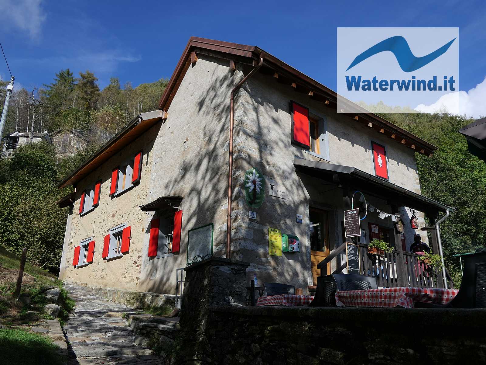
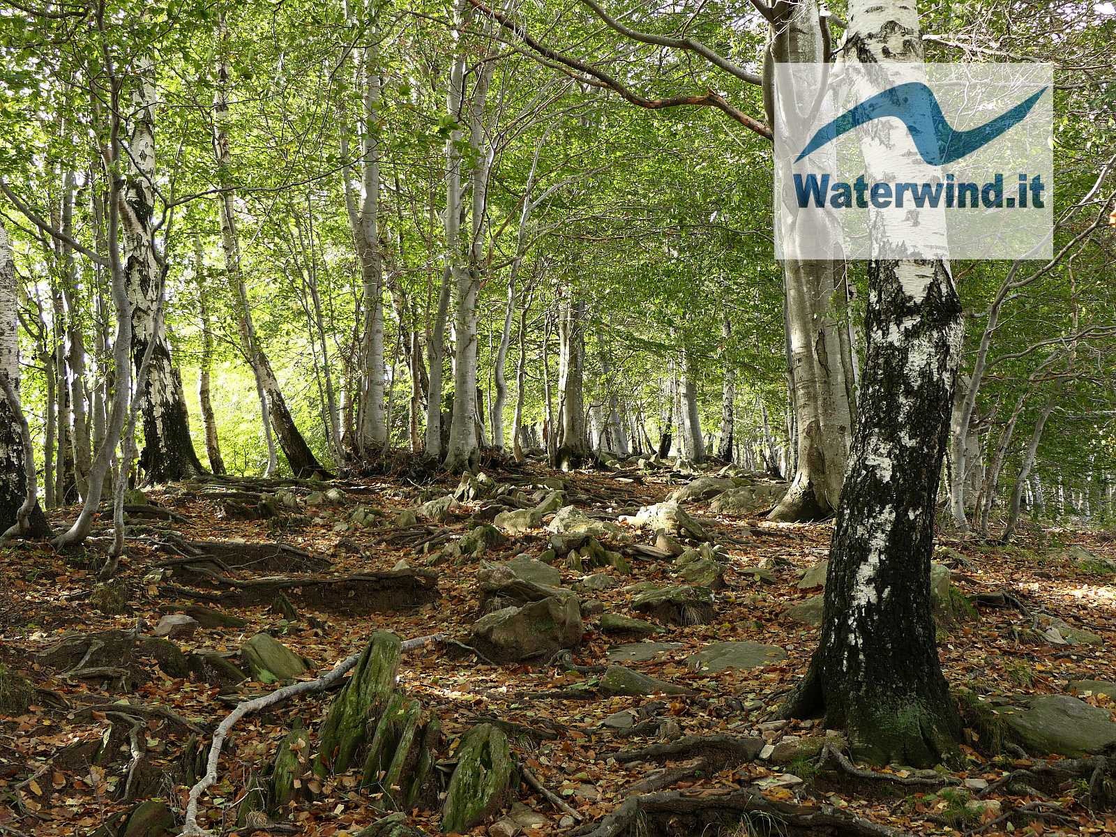
Having put on your boots, following the clear signs, take the large track that crosses a chestnut forest, passes near some renovated huts, leads to the Fantoli Refuge, managed by the Italian Alpine Club, a pleasant refreshment and accommodation point, just 15 minutes from the departure. After leaving the refuge on the right, you begin to climb a meadow slope, again following the signs. The path turns sharply towards ENE, passing over a stream, passing through some rustic buildings, and then reaches the ridge that leads to Faiè and separates the Toce river mouth area from the lower part of Val Grande. Up to this point the route does not present any particular problems.
Click here for the complete slide gallery of the excursion
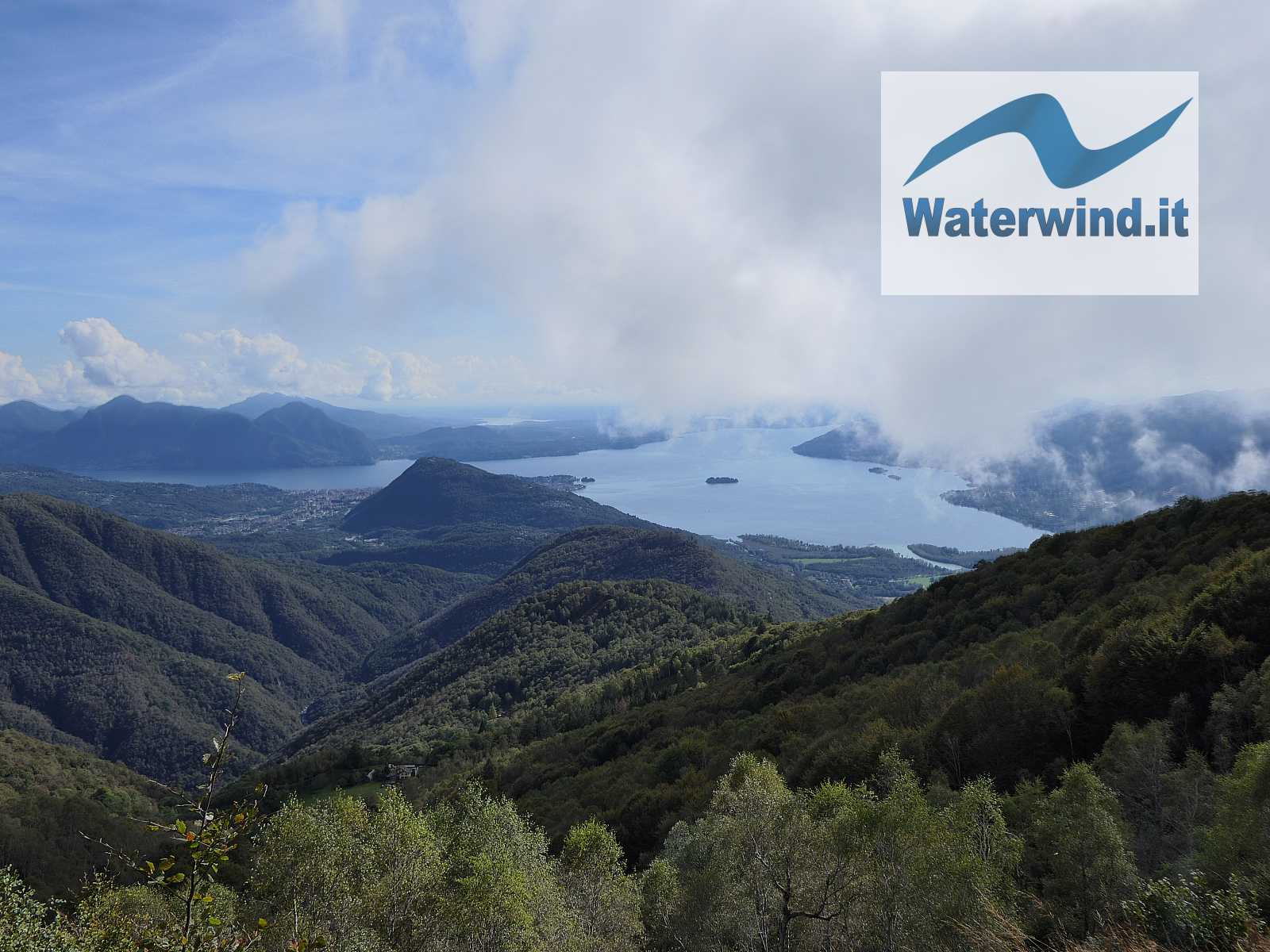
After about 1.5 km from the start, at an altitude of 1100 metres, you reach an important crossroads. Continuing straight, you descend the Val Grande and towards Corte Buè. We, however, turn left (WSW), and begin to climb the ridge into the beech forest. Here the trail begins to become more unclear, especially if there is a lot of foliage on the ground. But just follow the ridge to avoid getting lost, also paying attention to the white-red, or yellow, paint marks that are occasionally found on the trees or rocks. To our left, towards the South, beautiful shots of the Borromean Gulf of Lake Maggiore begin to appear.
After 2.2 km, at an altitude of approximately 1300 metres, you reach another important crossroads. We turn left to climb towards the top of Monte Faiè, still climbing into the woods. On the right, however, you go towards Alpe Caserecce and Colma di Vercio. From here we will return (unless you want to follow this part of the itinerary in reverse - greater distance and less slope to reach the top of the mountain).
Continuing, the path begins to have a steep slope (just under 40%), and at times you have to climb through the undergrowth. But this stretch doesn't last long: another 300 meters of path and we're at the top.
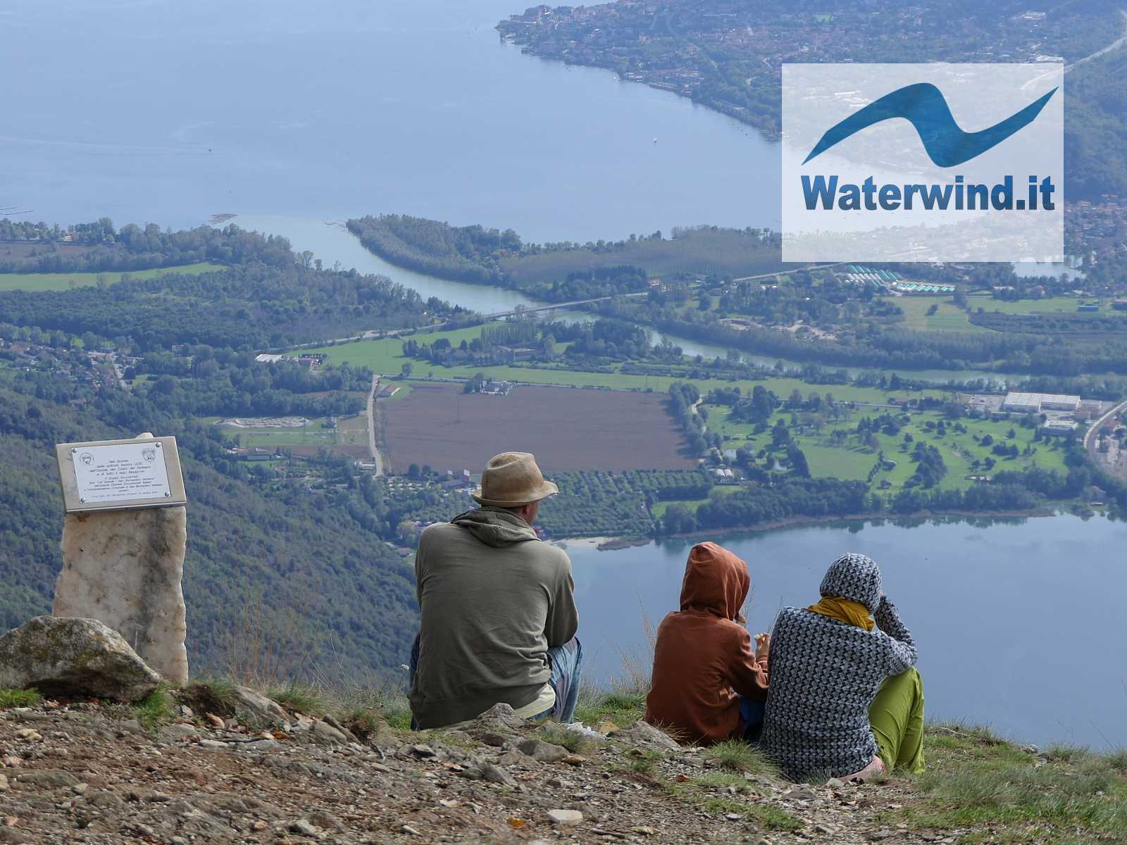
The view is truly worth it: Lake Maggiore clearly dominates the scene with its clear blue surface, and with the Borromean islands scattered across this stretch of lake which widens towards the opposite shore.
But from here you can see 5 other lakes! Towards the south, you can recognize Lake Orta, separated from Maggiore by the mass of Mottarone. Below us, you can see the square Lake Mergozzo. Beyond the opposite shore, you can see Lake Varese, Lake Monate and Lake Comabbio. A land definitely rich in waters!
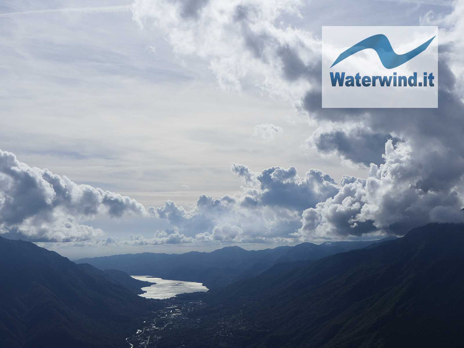
The scene was even more interesting for me due to the presence of vaporous and cumulus clouds that let the sun filter through at times, creating plays of light and shadow on the territory and on the waters below, and a variously illuminated and contrasted sky.
To go down, as I often do, I studied the map to try to close a loop, and not simply redo the outward route backwards.
So, I continued west, passing Alpe Pianezza, and reaching Colma di Vercio. Here, I turned sharply to the right (East) and entered the thick beech forest that covers the northern slope of Mount Faiè.
The track here becomes somewhat slightly difficult to detect. Don't get too distracted, and especially pay attention to the stone piles who assure you that you are on the right path. To confirm that you have not made a mistake, keep in mind that you have to pass by an obvious source intake work, with a trough just below.
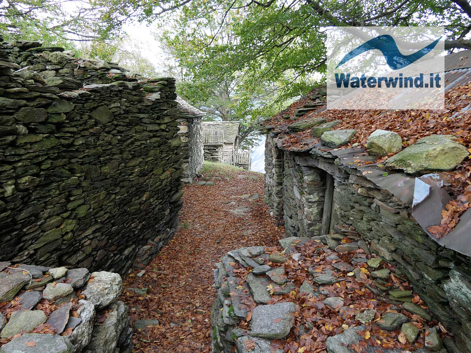
The route is apparently less significant and more monotonous, but it leads you to a pearl: Alpe Caserecce, suspended above Val Grande. The scene is exciting and captivates you: here, (the man's) life has stopped. Most of the buildings are in ruins, and only a few have been maintained and renovated. The buildings speak and tell the story of the life of shepherds in the last century. But it is the natural scenery that will enchant you: towards the north, Val Grande develops, deeply engraved by the Pogallo stream, with its woods and its virgin walls. The scene has been the same for millennia.... There is almost no trace of human presence (the other mountain pastures, abandoned, are hidden in the vegetation). So much nature captivates the gaze and the mind: we are almost no longer used to it. Val Grande has a charm that enchants.
But just turn the other way to see the image again, more reassuring, but perhaps less fascinating of Lake Maggiore and the towns that stand on its shores.
We then continue the journey towards SSE, admiring some centuries-old beech trees, and return to the crossroads at 1300 meters above sea level, where we find the same route again, which leads us back to the car park and into civilisation. In just two hours and almost 7 km of walking, we took a journey back in time.
Enjoy your walk. Fabio Muriano
Click here for the complete slide gallery of the excursion
Without your Support, Waterwind wouldn't exist. Become our supporter!
If you want to advertise with us, read here, or conctact us.


